Hawaii Maps
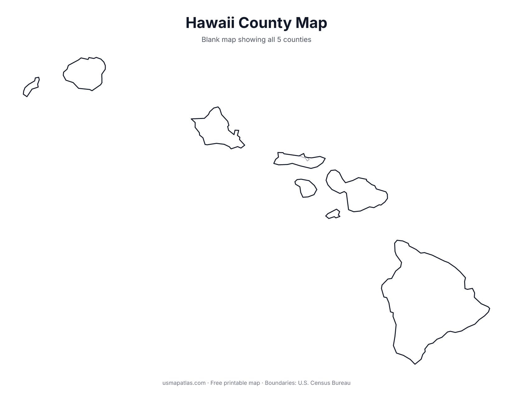
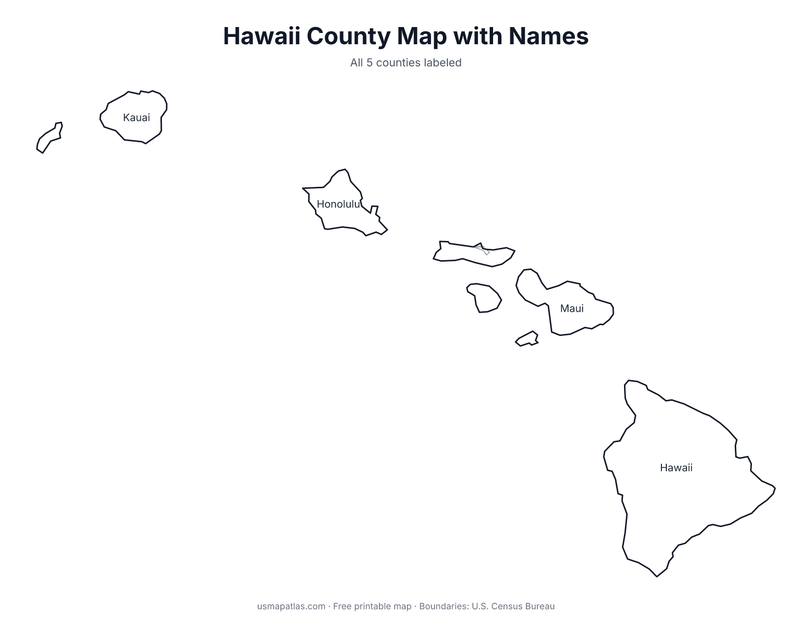
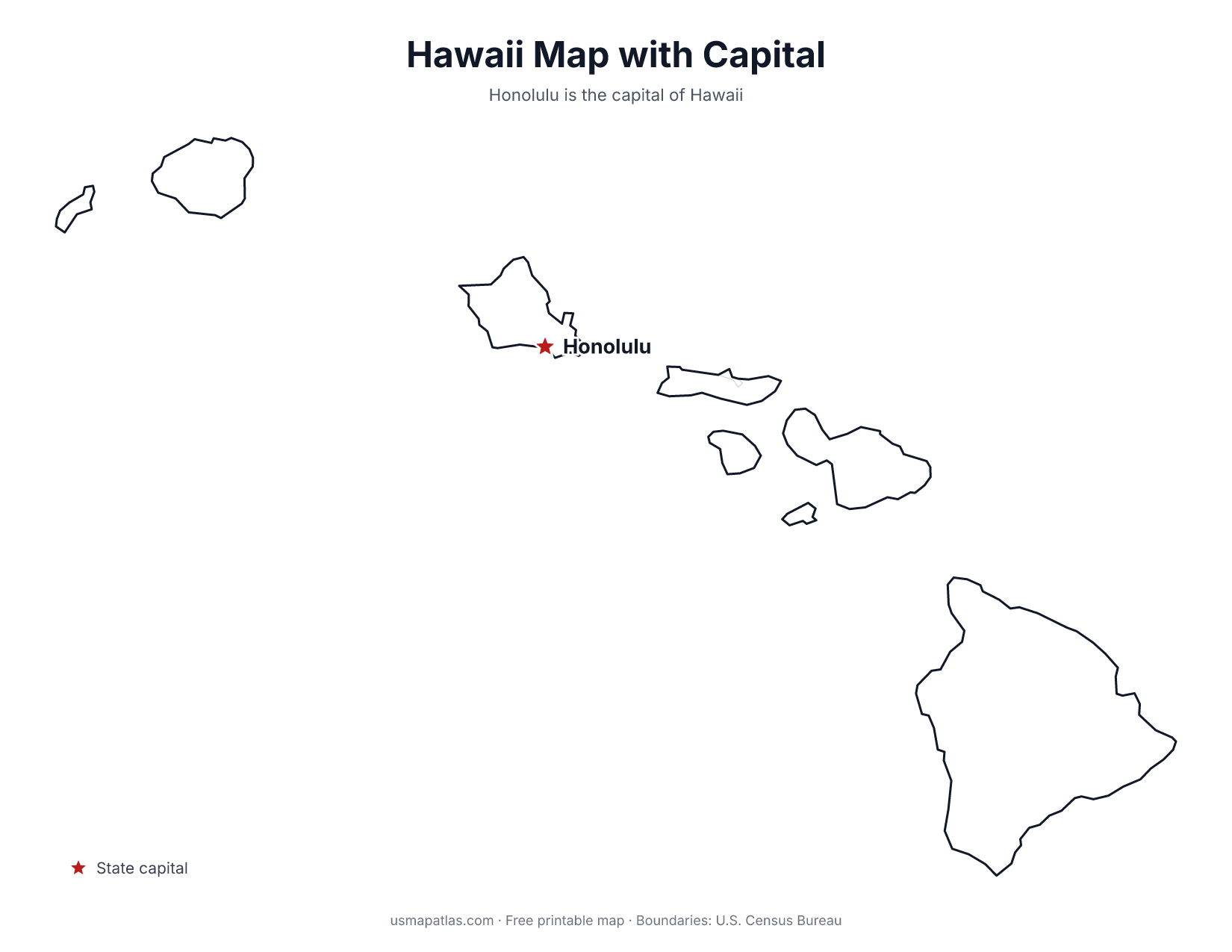
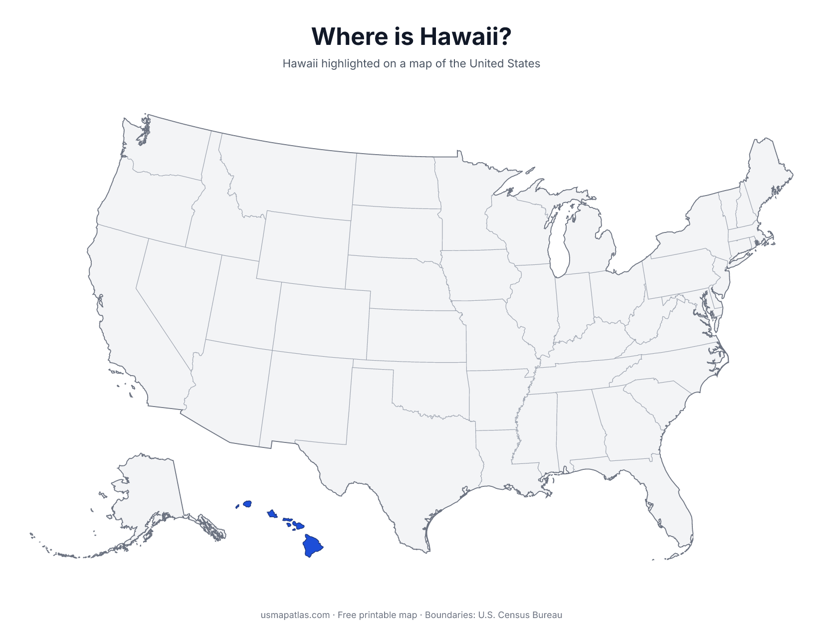
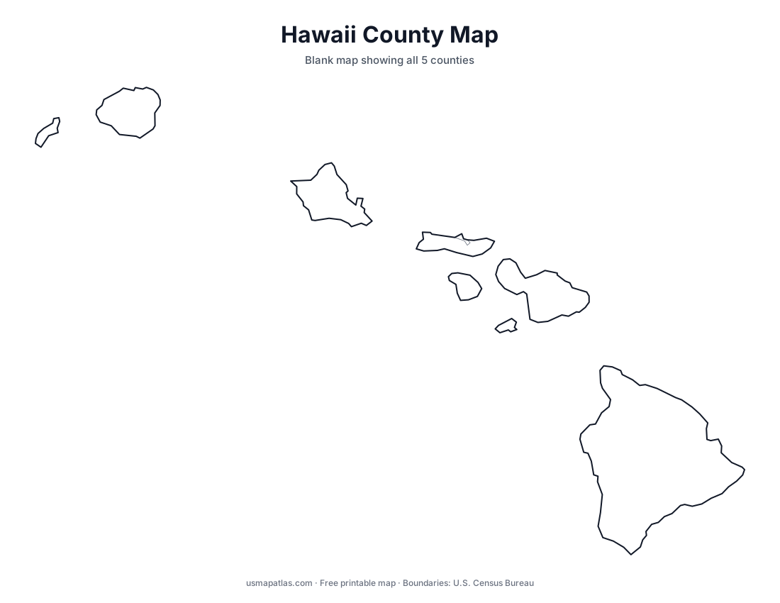
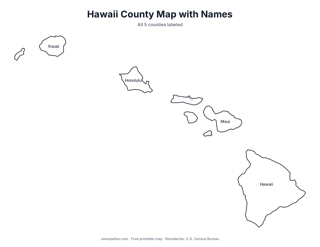
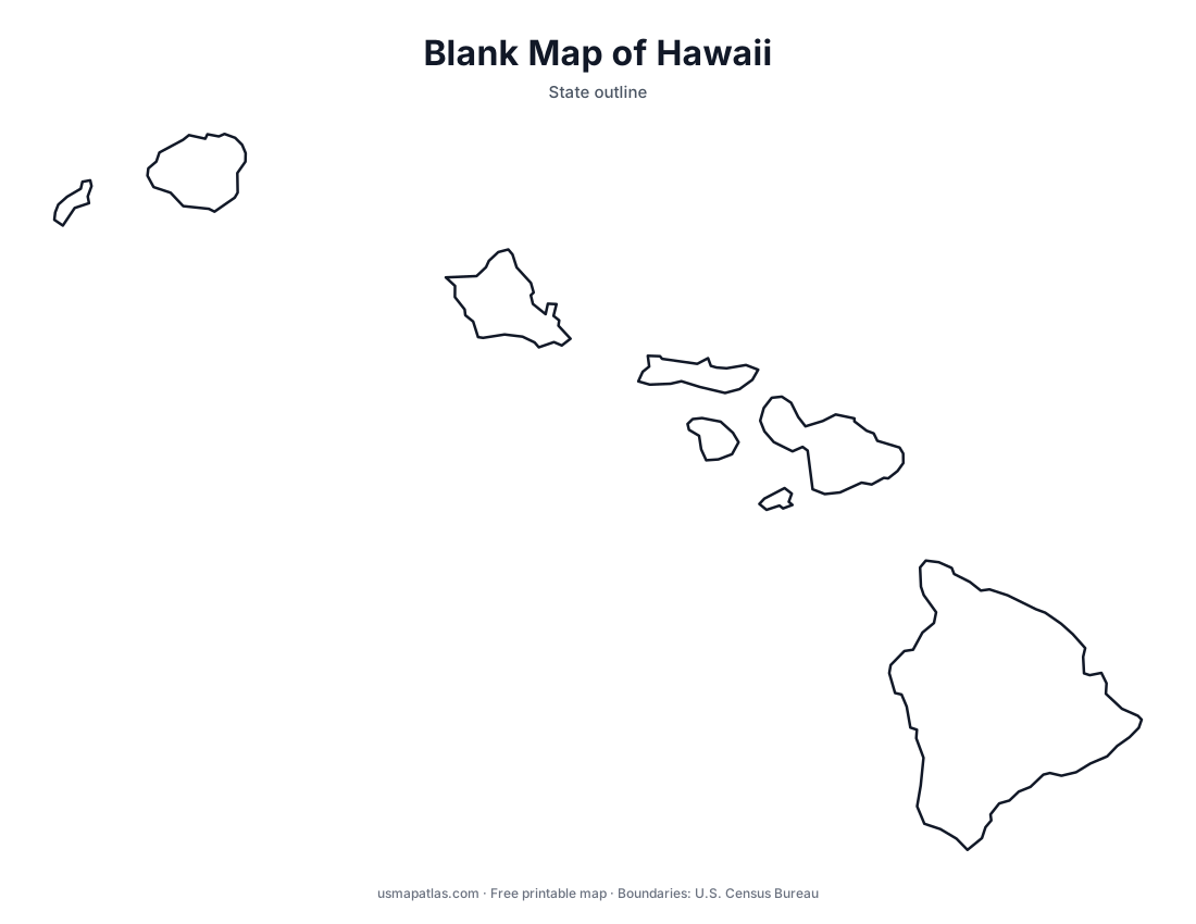
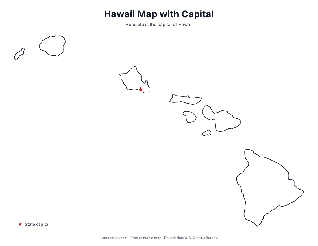
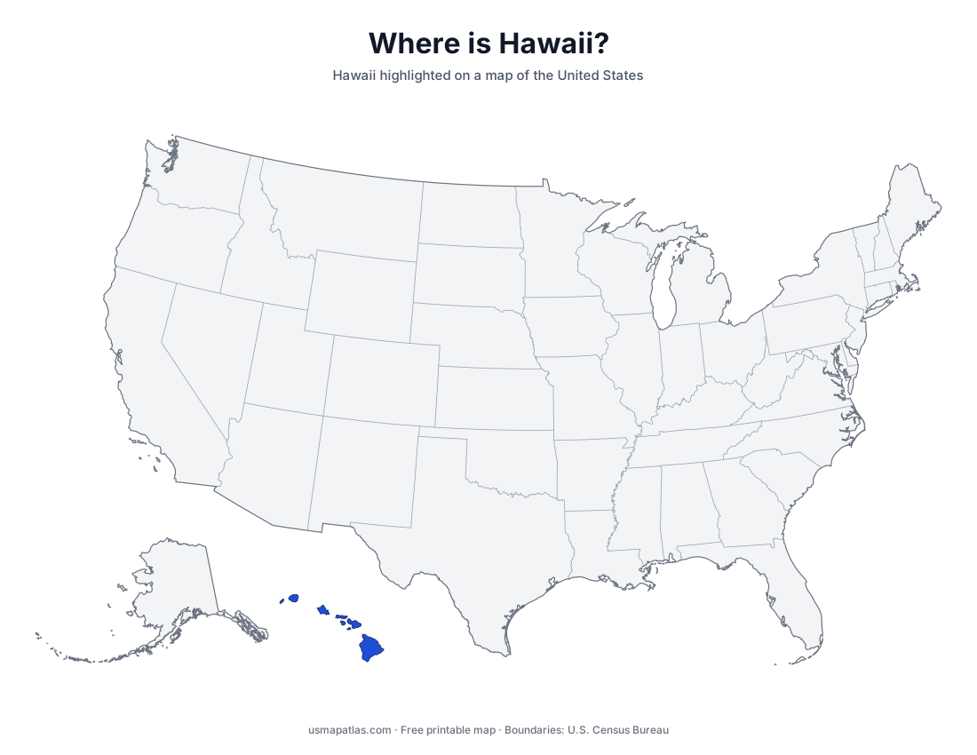
Free printable maps of Hawaii: a county map with all 5 counties, the same map with every name labeled, a blank outline, a map with the capital and a location map. Download any of them as PDF, PNG or SVG, along with free Hawaii worksheets.
About Hawaii
Hawaii is the only state made up entirely of islands. It lies in the central Pacific Ocean, about 2,400 miles from California. The eight main islands are Hawaii (the Big Island), Maui, Oahu, Kauai, Molokai, Lanai, Niihau and Kahoolawe. All of them are volcanic, and Kilauea on the Big Island is one of the most active volcanoes in the world, while Mauna Kea is the state's highest point. Honolulu, on Oahu, is the capital and the largest city. Hawaii has five counties, including tiny Kalawao County on Molokai.
More printable maps of Hawaii
Hawaii worksheets
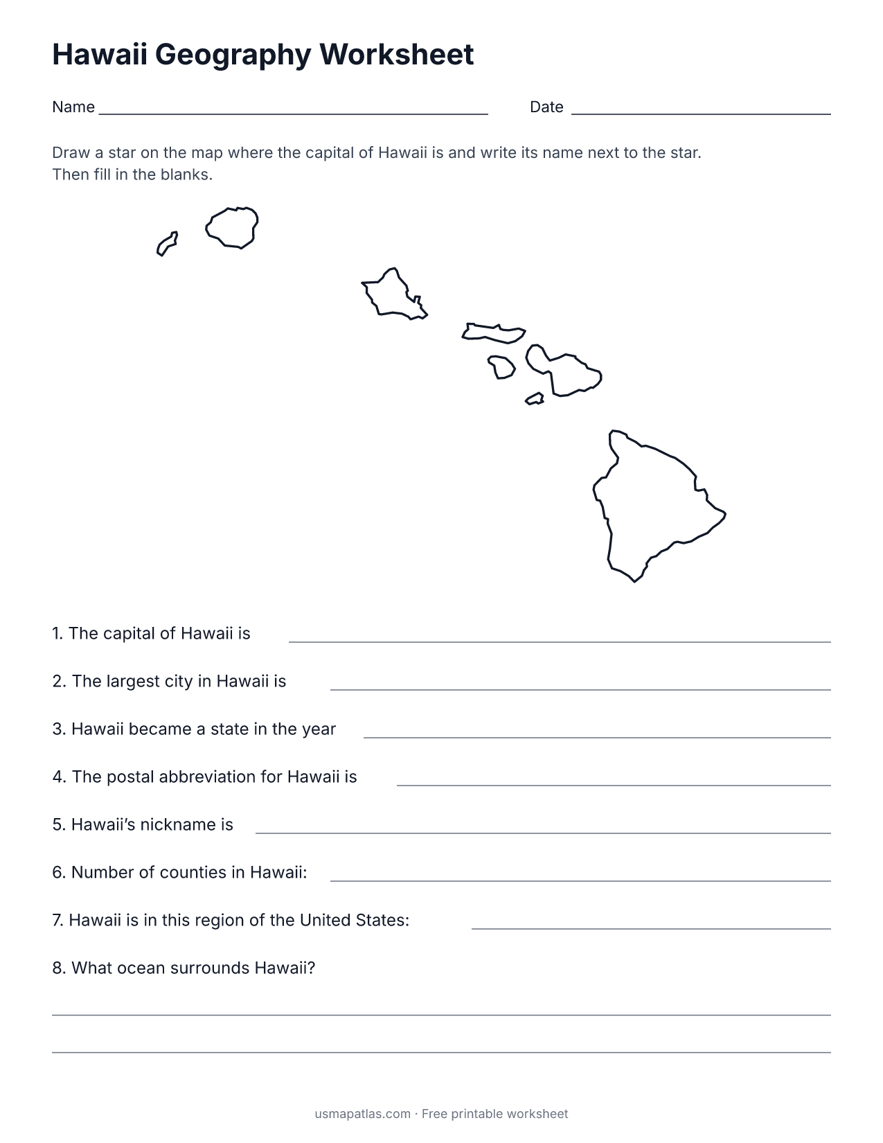
Free printable worksheets for learning about Hawaii. Each PDF has the worksheet on page 1 and the answer key on page 2.
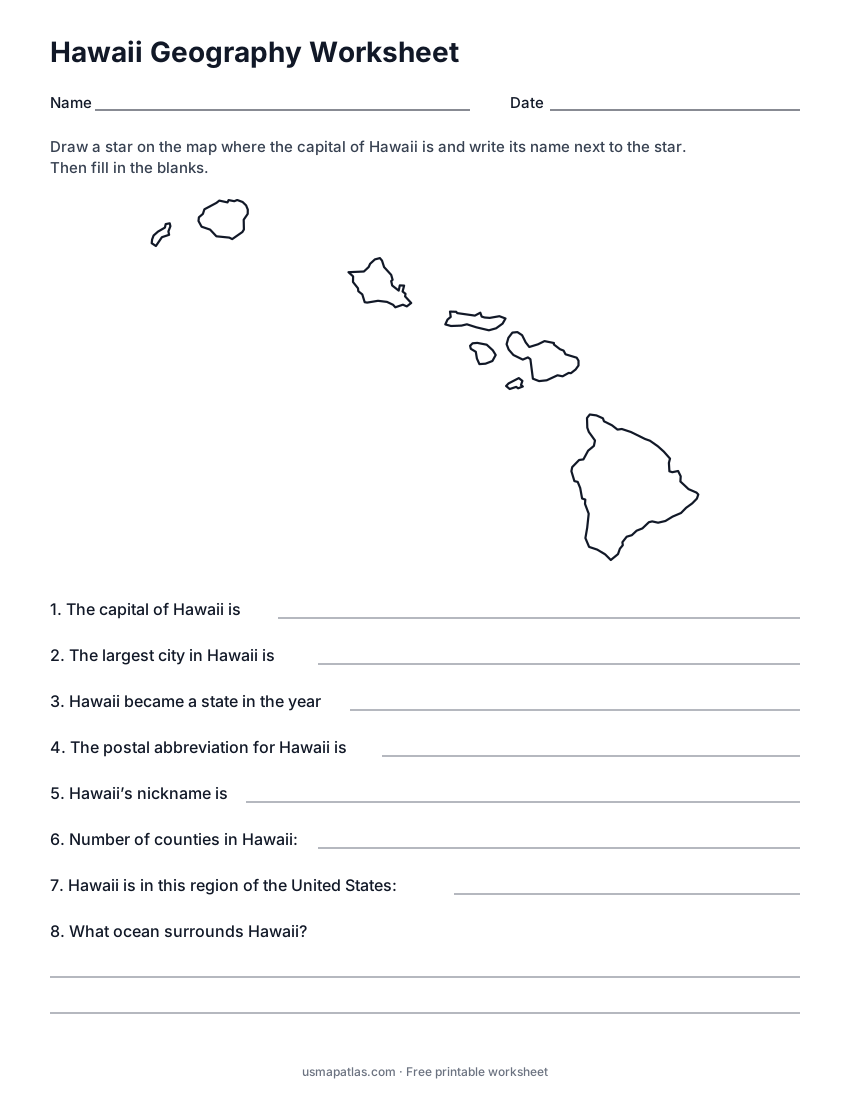
Hawaii Geography Worksheet
2-page PDF: worksheet and answer key
List of Hawaii counties
All 5 counties of Hawaii, in alphabetical order.
- Hawaii
- Honolulu
- Kalawao
- Kauai
- Maui
Frequently asked questions
What is the capital of Hawaii?
Honolulu is the capital of Hawaii. It is also the state’s largest city.
How many counties are in Hawaii?
Hawaii has 5 counties.
What states border Hawaii?
Hawaii does not share a land border with any other state.
When did Hawaii become a state?
Hawaii became a state on August 21, 1959, as the 50th state.