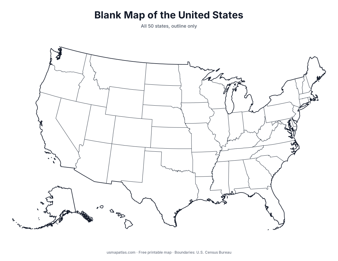
Blank US Map
Free printable blank map of the United States with all 50 state outlines. Download as PDF, PNG or SVG for classrooms, quizzes and projects.
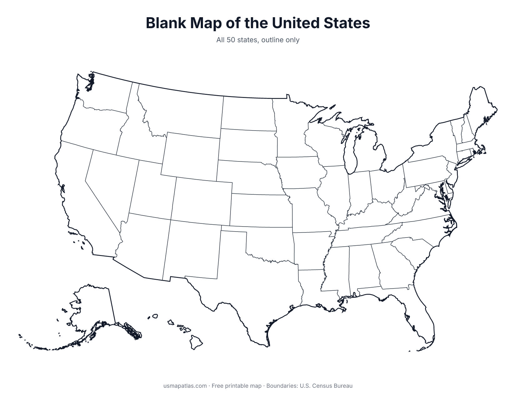
This blank map of the United States shows the outline of all 50 states with no names or labels. Alaska and Hawaii appear as insets in the lower left, the way most classroom maps place them.
The PDF is sized for US Letter paper in landscape orientation and prints cleanly in black and white. The SVG version is a vector file you can color, edit or resize without losing quality.
Ideas for using a blank US map
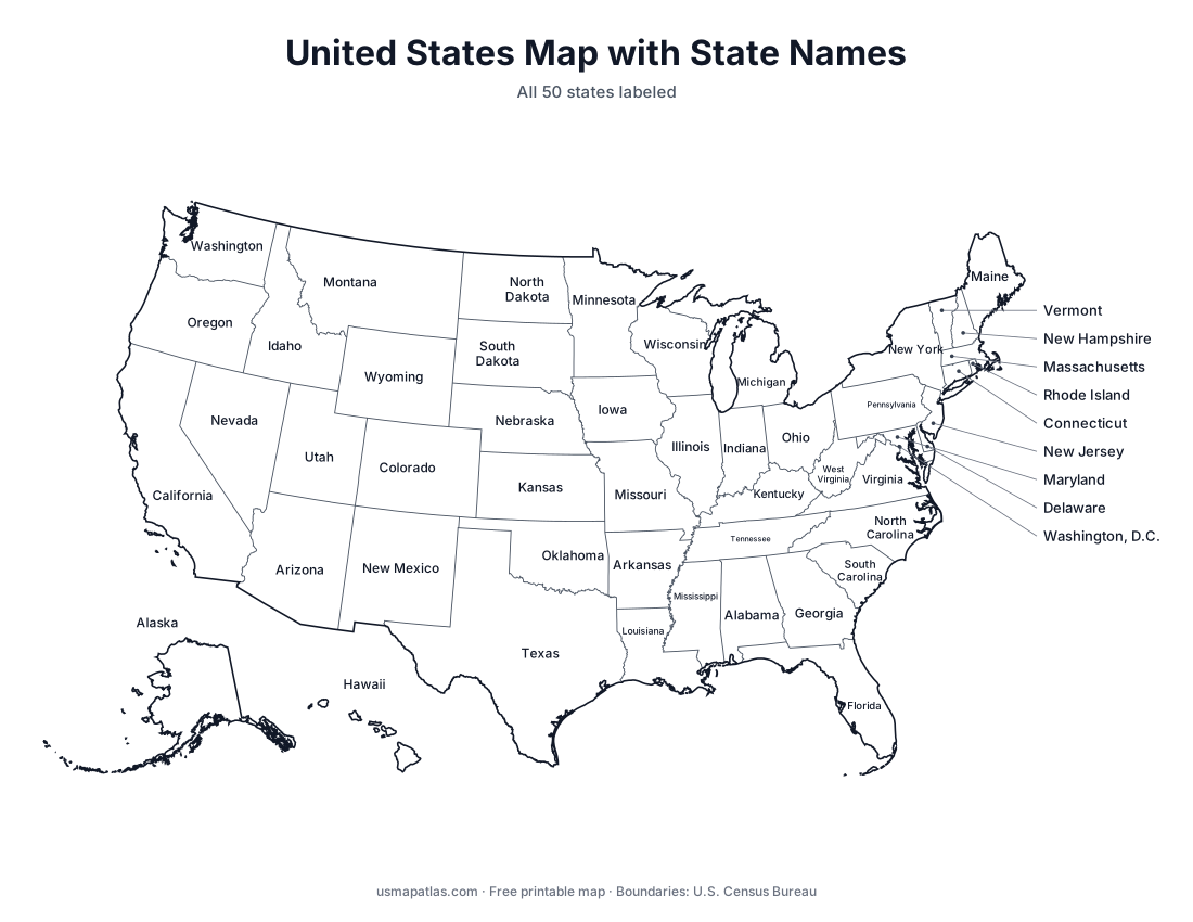
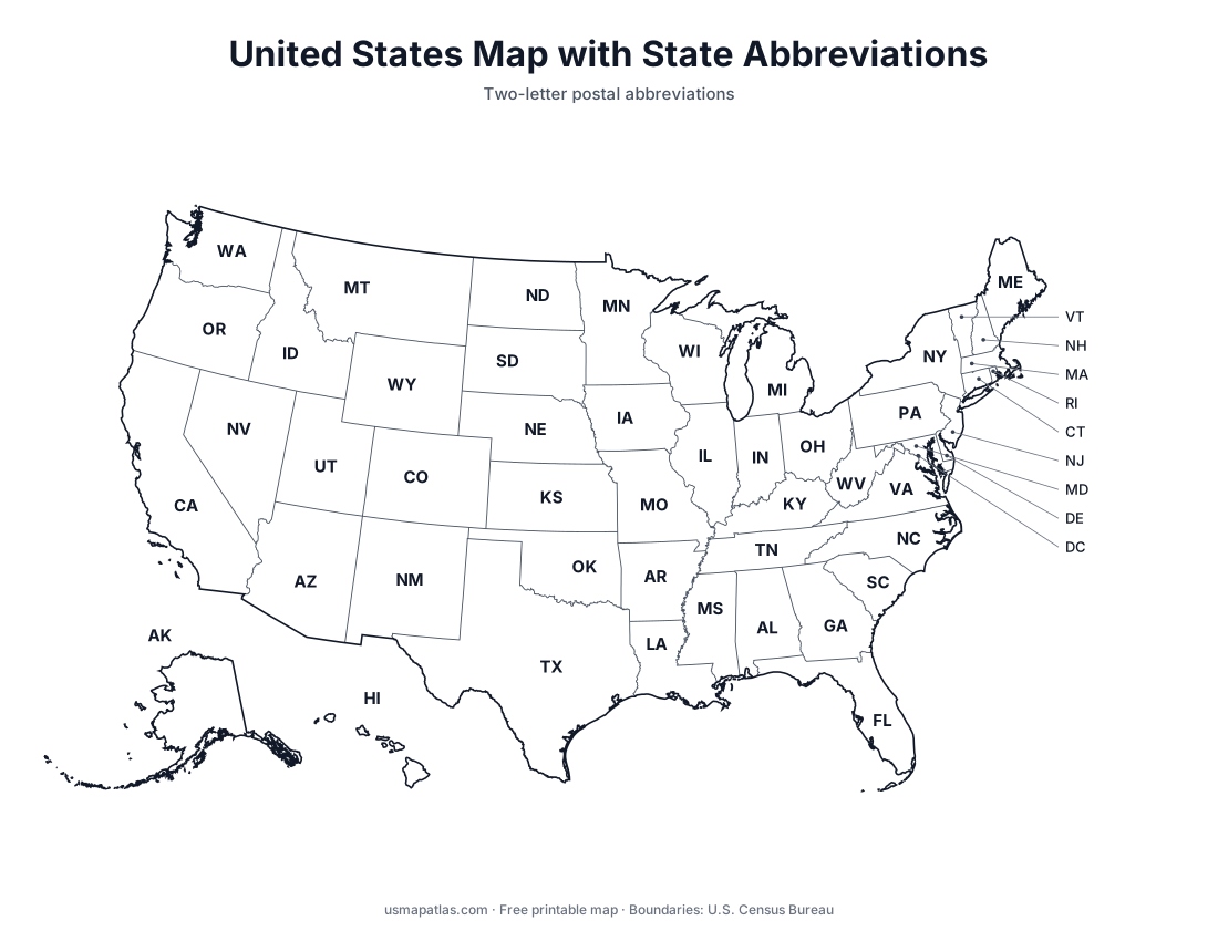
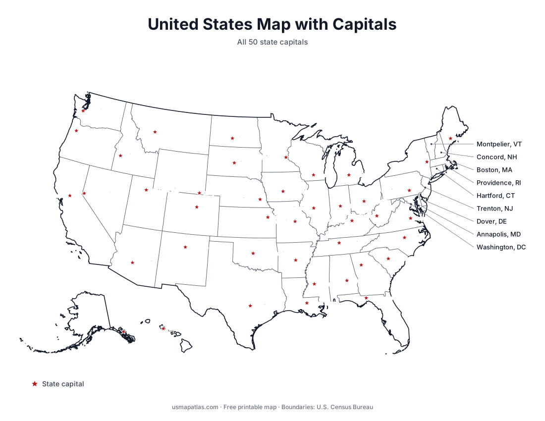
- Geography quizzes: ask students to write in state names, abbreviations or capitals.
- Road trip planning: draw your route and color the states you have visited.
- Coloring by data, such as election results, weather or sales by state.
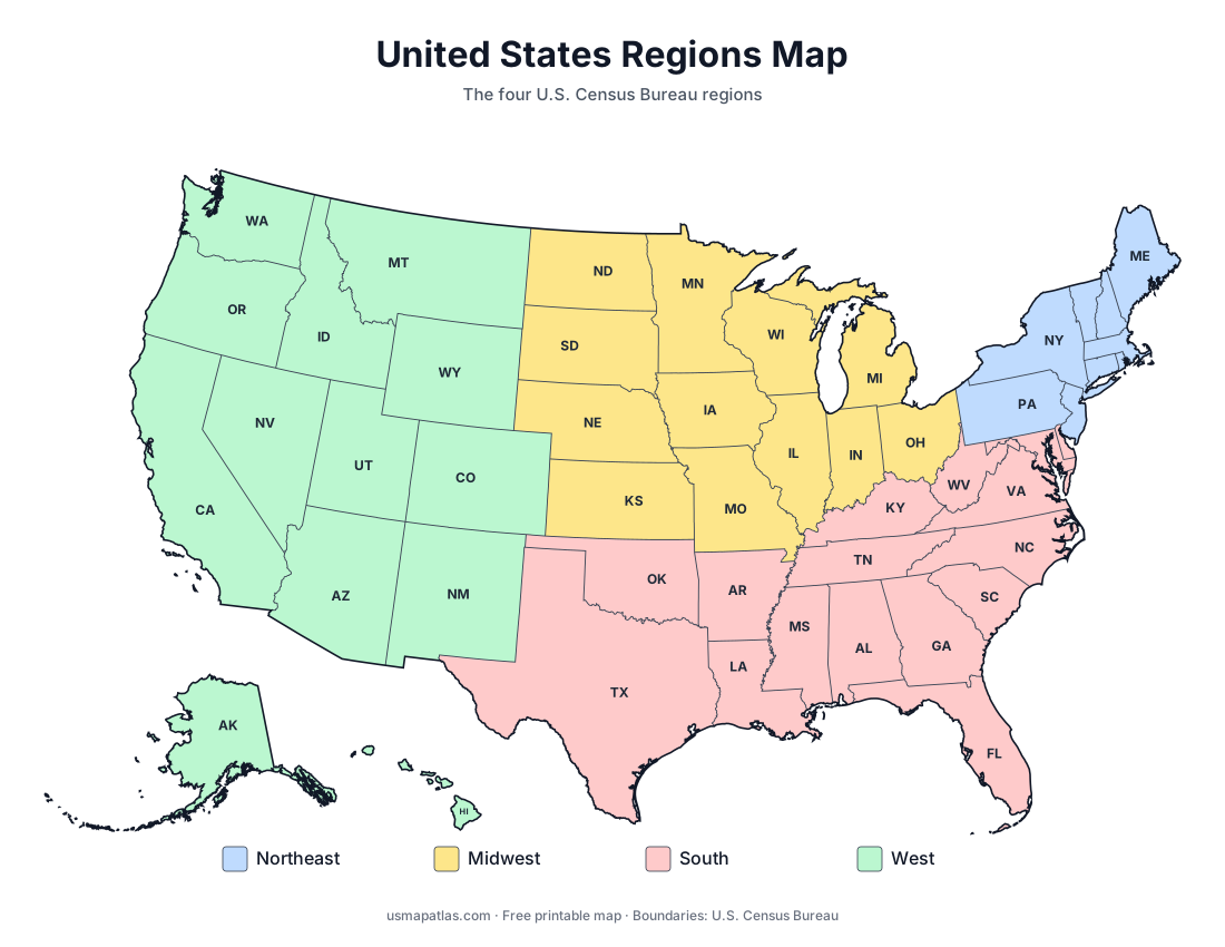
- Homeschool and classroom projects on regions, history or state symbols.
Blank maps of each state
AlabamaAlaskaArizonaArkansasCaliforniaColoradoConnecticutDelawareFloridaGeorgiaHawaiiIdahoIllinoisIndianaIowaKansasKentuckyLouisianaMaineMarylandMassachusettsMichiganMinnesotaMississippiMissouriMontanaNebraskaNevadaNew HampshireNew JerseyNew MexicoNew YorkNorth CarolinaNorth DakotaOhioOklahomaOregonPennsylvaniaRhode IslandSouth CarolinaSouth DakotaTennesseeTexasUtahVermontVirginiaWashingtonWest VirginiaWisconsinWyoming