US County Map
Printable map of every county in the United States, with state borders. Free PDF, PNG and SVG downloads, plus the number of counties in each state.
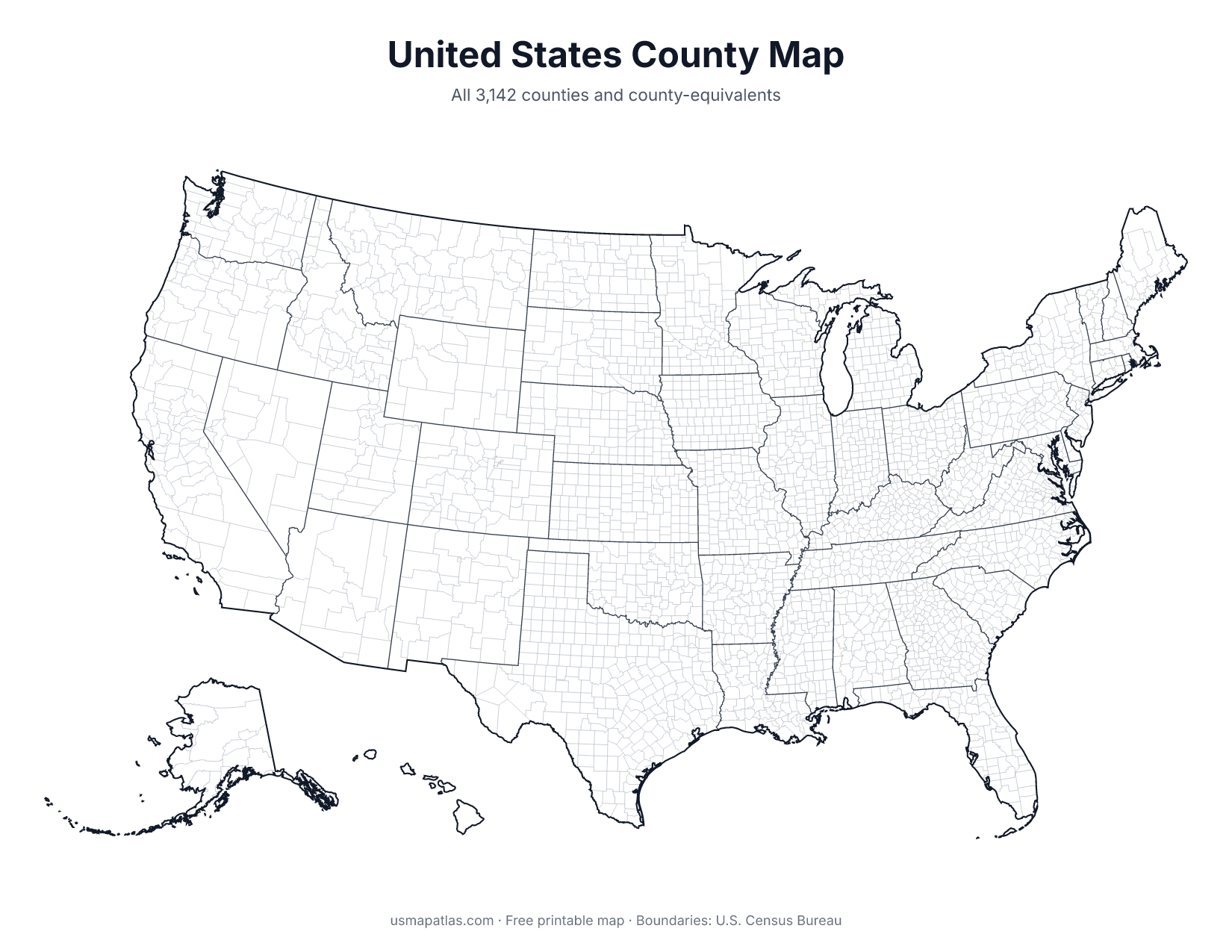
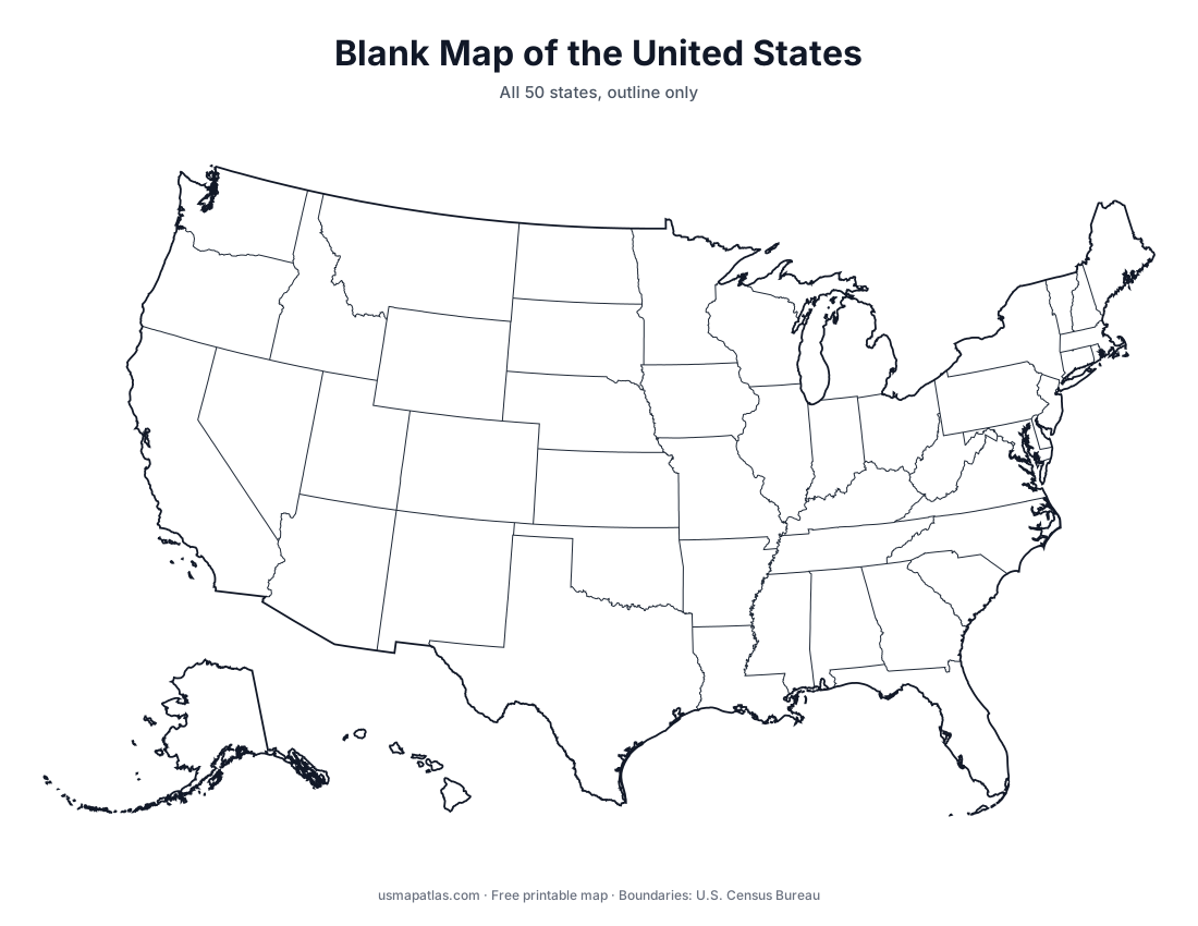
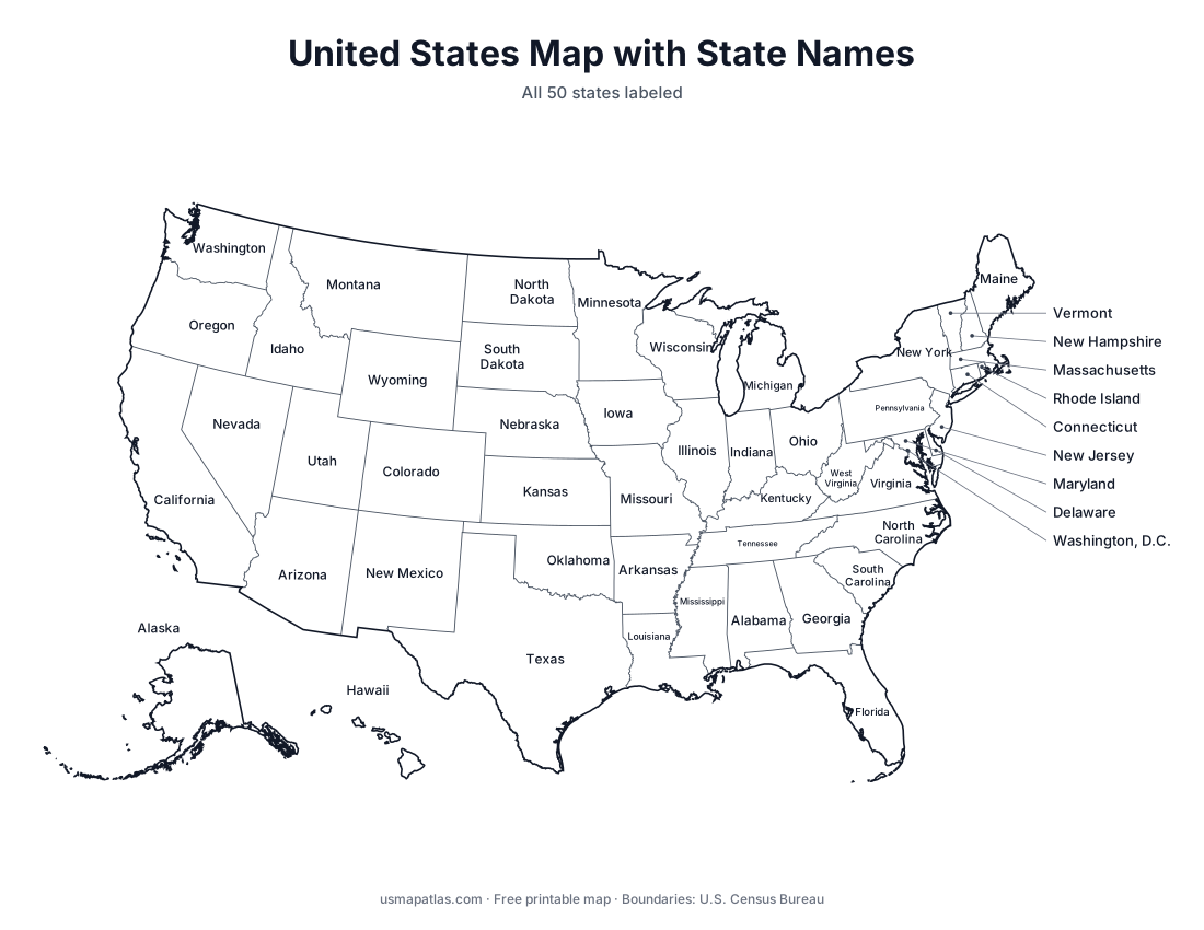
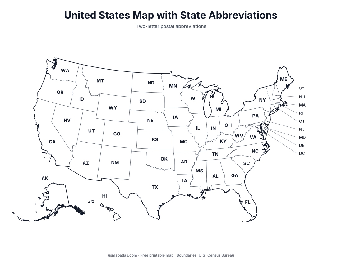
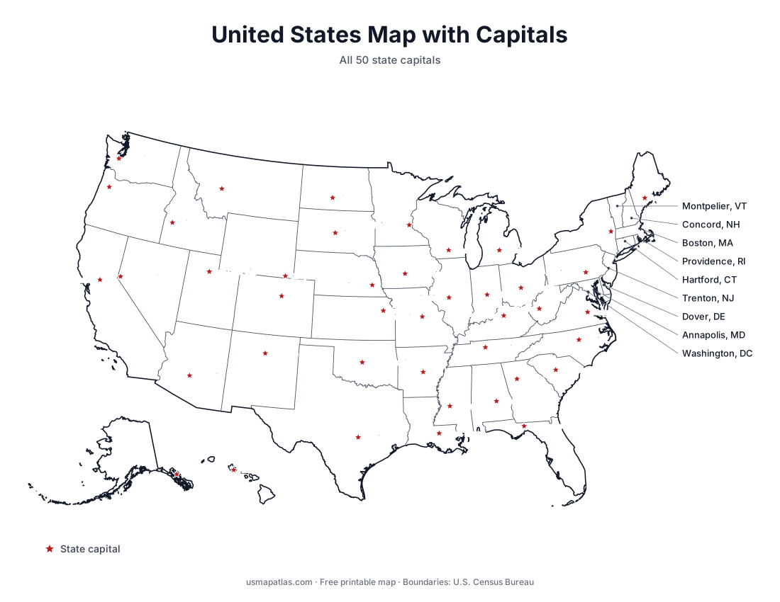
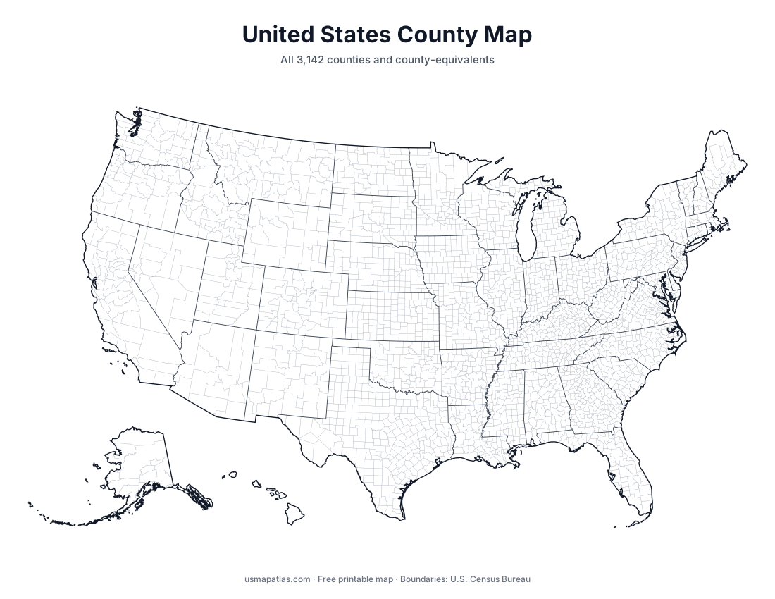
This map shows every county and county-equivalent in the 50 states and Washington, D.C., with state borders drawn in a darker line. County-equivalents include Louisiana’s parishes, Alaska’s boroughs and census areas, and independent cities in Virginia, Maryland, Missouri and Nevada.
Because there are more than 3,000 counties, the lines are thin. For a closer look at one state, open its state page for a full-page county map with every county name.
Number of counties in each state
Sorted from most to fewest. Counts follow the Census Bureau boundaries used on these maps.
| # | State | Counties |
|---|---|---|
| 1 | Texas | 254 |
| 2 | Georgia | 159 |
| 3 | Virginia | 133 |
| 4 | Kentucky | 120 |
| 5 | Missouri | 115 |
| 6 | Kansas | 105 |
| 7 | Illinois | 102 |
| 8 | North Carolina | 100 |
| 9 | Iowa | 99 |
| 10 | Tennessee | 95 |
| 11 | Nebraska | 93 |
| 12 | Indiana | 92 |
| 13 | Ohio | 88 |
| 14 | Minnesota | 87 |
| 15 | Michigan | 83 |
| 16 | Mississippi | 82 |
| 17 | Oklahoma | 77 |
| 18 | Arkansas | 75 |
| 19 | Wisconsin | 72 |
| 20 | Alabama | 67 |
| 21 | Florida | 67 |
| 22 | Pennsylvania | 67 |
| 23 | South Dakota | 66 |
| 24 | Colorado | 64 |
| 25 | Louisiana | 64 |
| 26 | New York | 62 |
| 27 | California | 58 |
| 28 | Montana | 56 |
| 29 | West Virginia | 55 |
| 30 | North Dakota | 53 |
| 31 | South Carolina | 46 |
| 32 | Idaho | 44 |
| 33 | Washington | 39 |
| 34 | Oregon | 36 |
| 35 | New Mexico | 33 |
| 36 | Alaska | 29 |
| 37 | Utah | 29 |
| 38 | Maryland | 24 |
| 39 | Wyoming | 23 |
| 40 | New Jersey | 21 |
| 41 | Nevada | 17 |
| 42 | Maine | 16 |
| 43 | Arizona | 15 |
| 44 | Massachusetts | 14 |
| 45 | Vermont | 14 |
| 46 | New Hampshire | 10 |
| 47 | Connecticut | 8 |
| 48 | Hawaii | 5 |
| 49 | Rhode Island | 5 |
| 50 | Delaware | 3 |
Alaska shows 29 because these 2017 boundaries predate the 2019 split of the Valdez-Cordova Census Area; it has 30 today.