Louisiana Maps
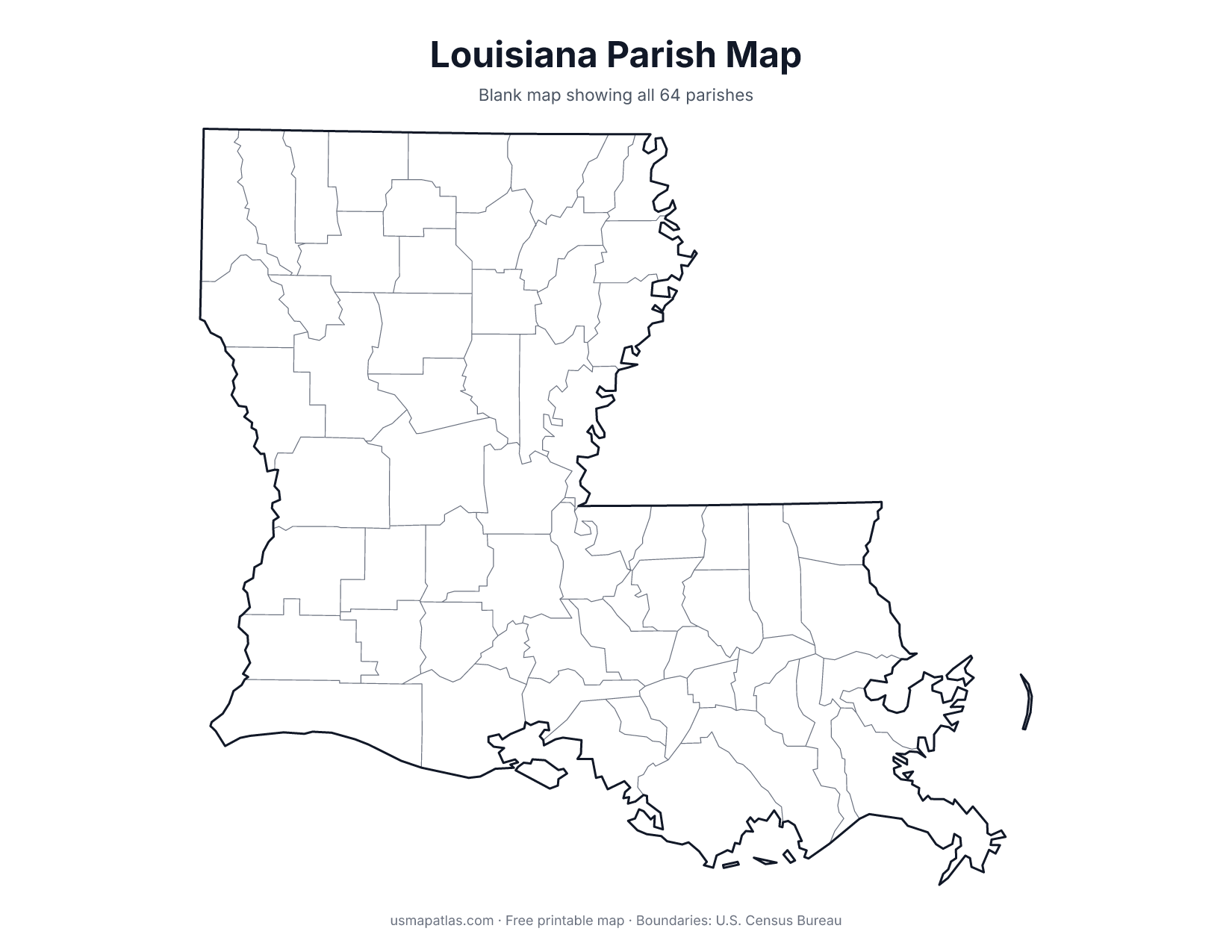
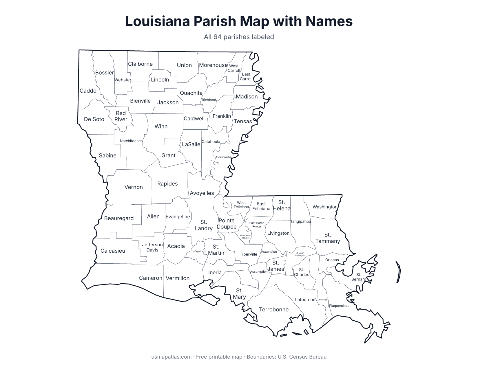
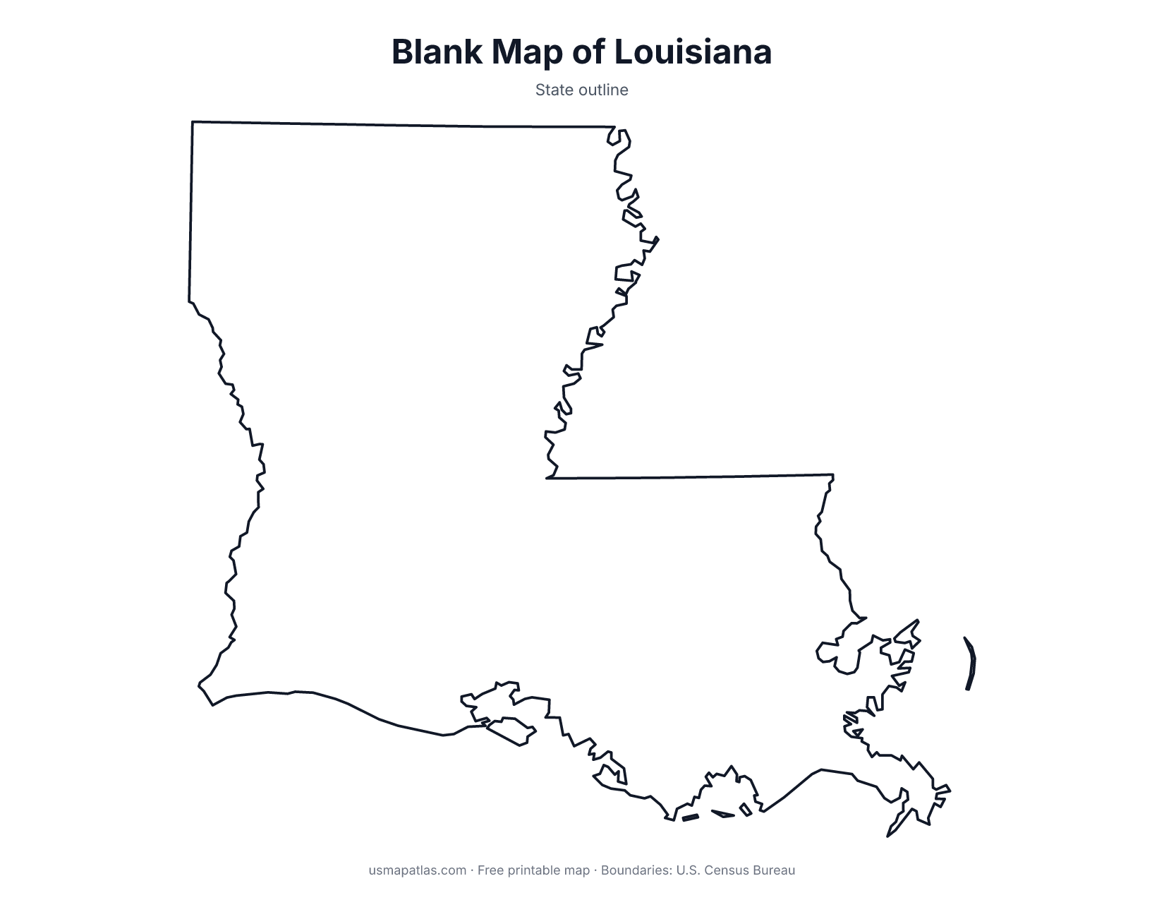
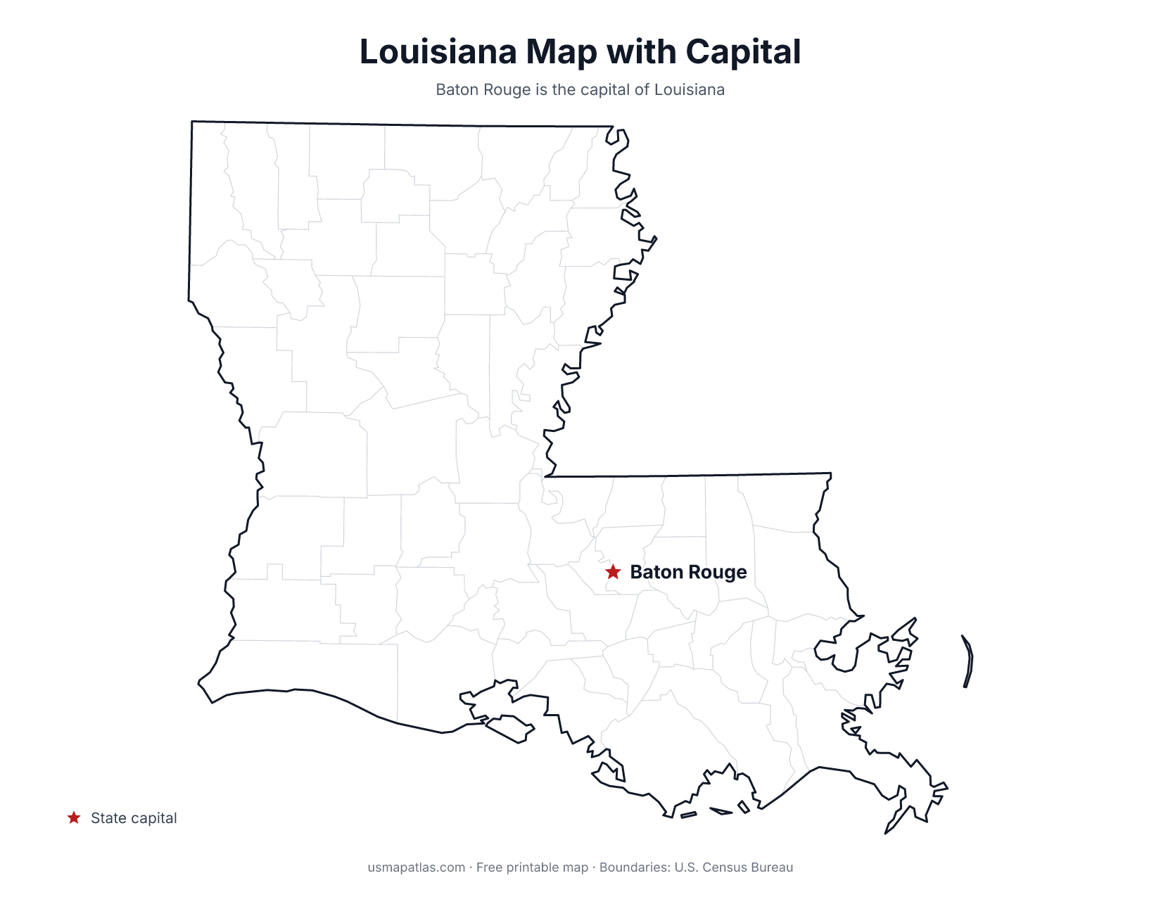
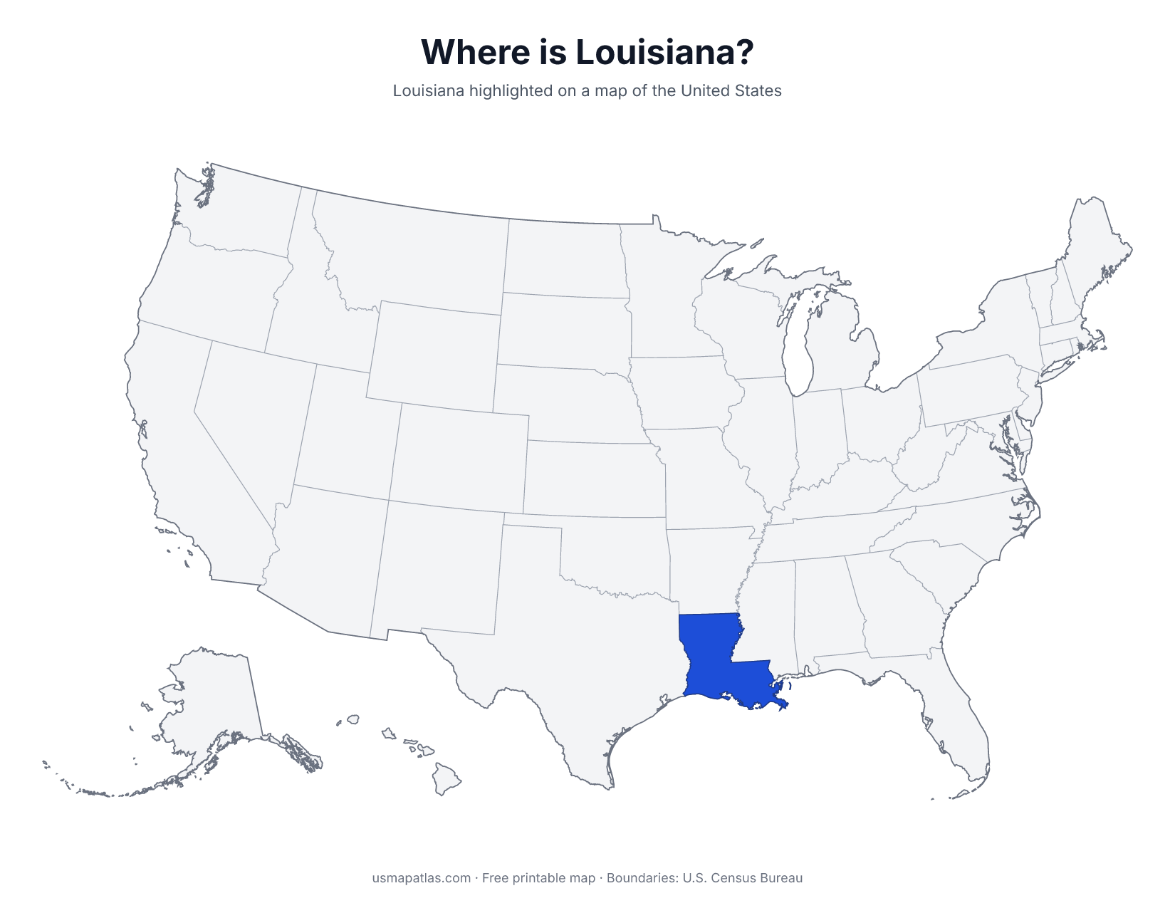
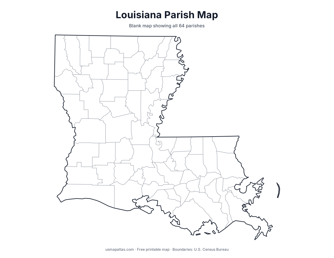
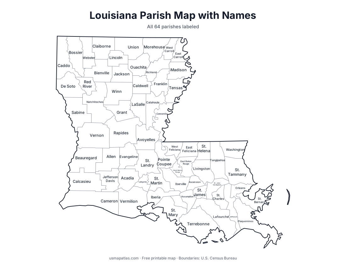
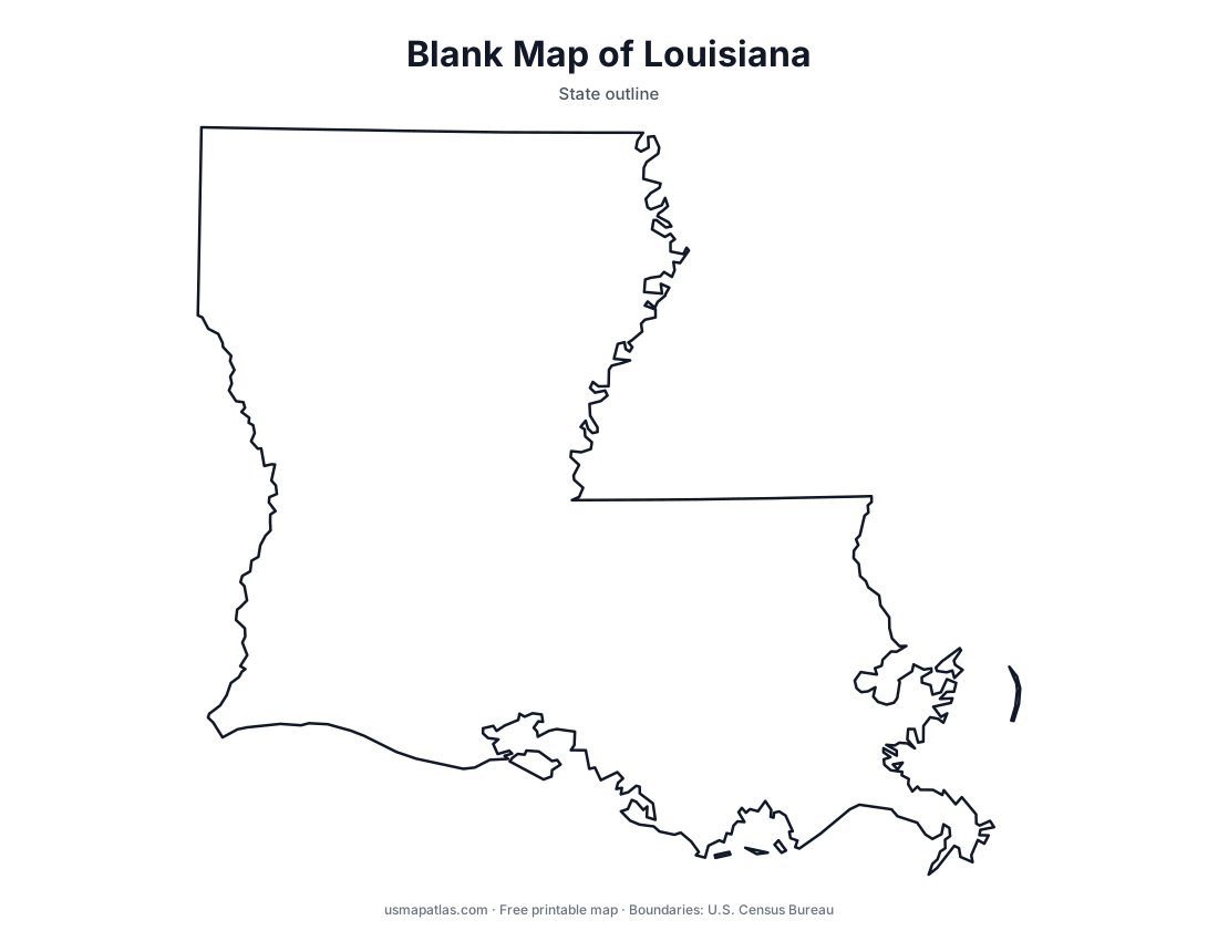
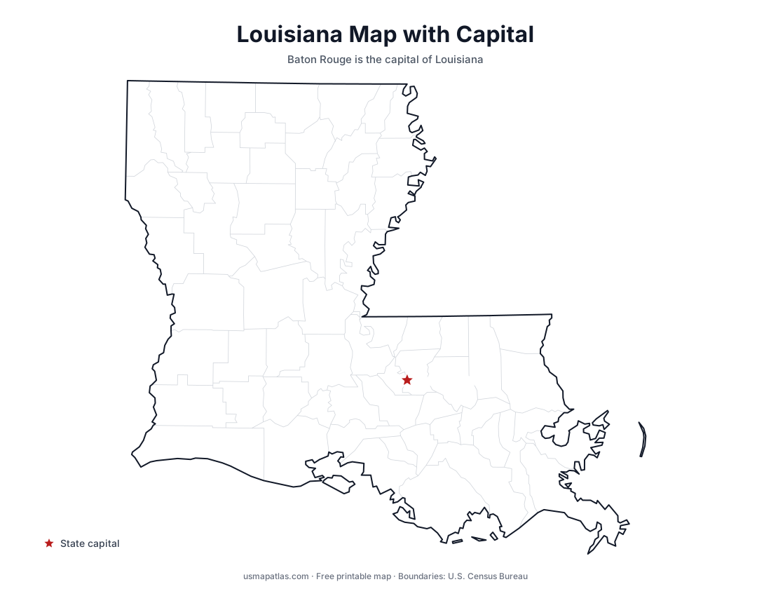
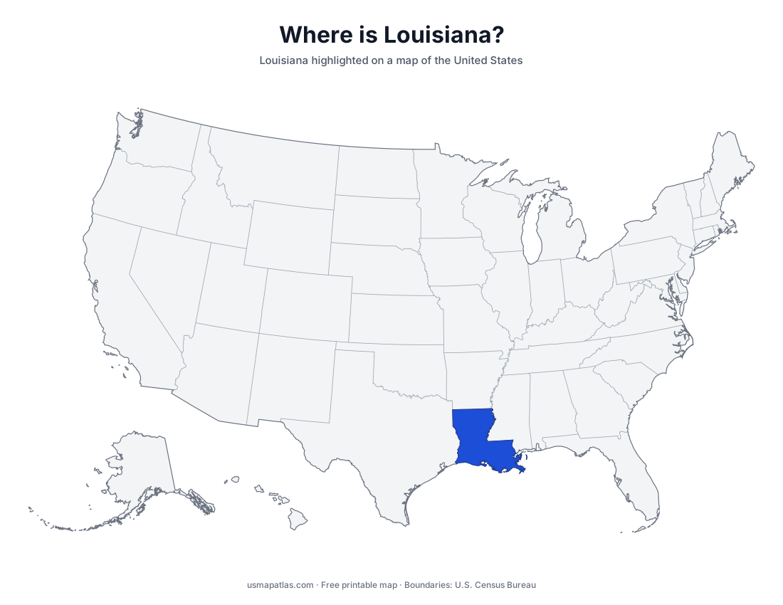
Free printable maps of Louisiana: a parish map with all 64 parishes, the same map with every name labeled, a blank outline, a map with the capital and a location map. Download any of them as PDF, PNG or SVG, along with free Louisiana worksheets.
About Louisiana
Louisiana is the only state divided into parishes instead of counties. It sits at the mouth of the Mississippi River, whose delta and wetlands make up much of the southern coast on the Gulf of Mexico. The Atchafalaya Basin is the largest river swamp in the United States. The north is higher ground, with pine forests and rolling hills. Lake Pontchartrain lies just north of New Orleans, the largest city, and Baton Rouge, on the Mississippi, is the capital.
More printable maps of Louisiana
Louisiana worksheets
Free printable worksheets for learning about Louisiana. Each PDF has the worksheet on page 1 and the answer key on page 2.
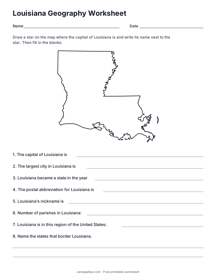
Louisiana Geography Worksheet
2-page PDF: worksheet and answer key
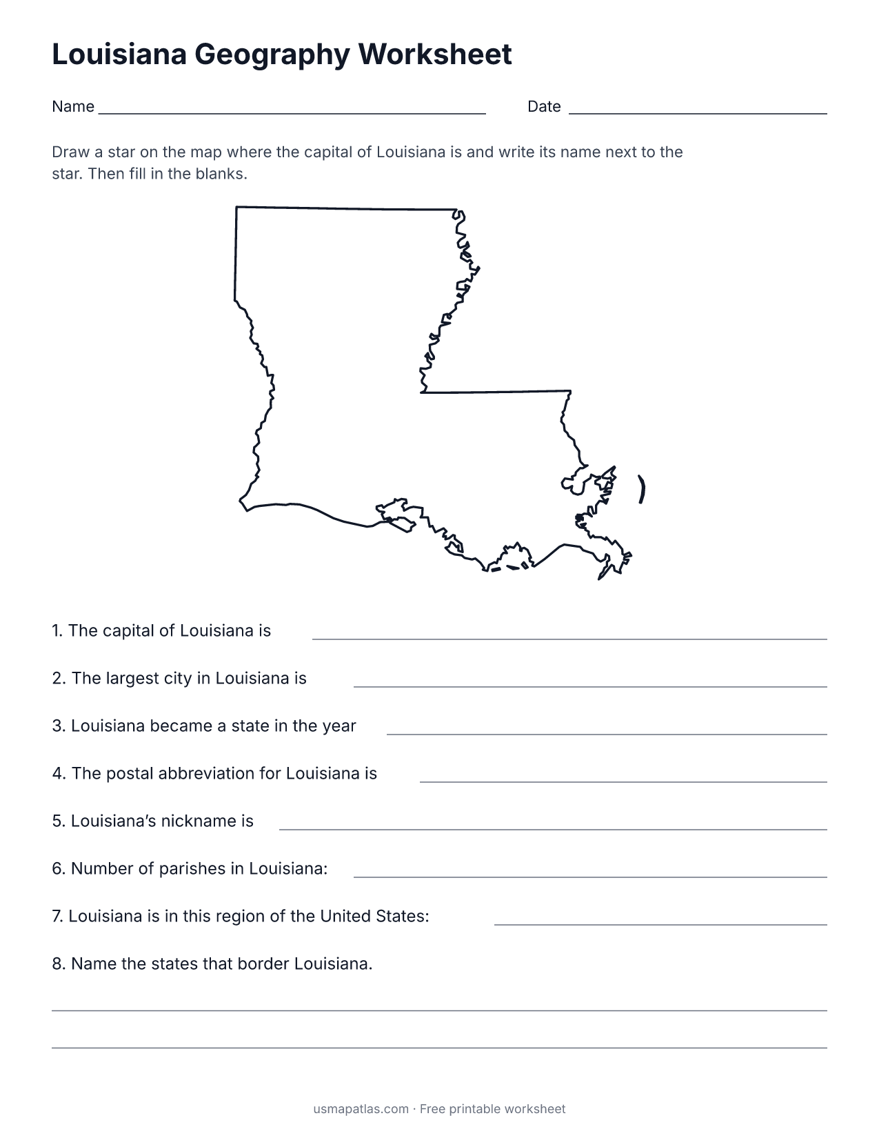
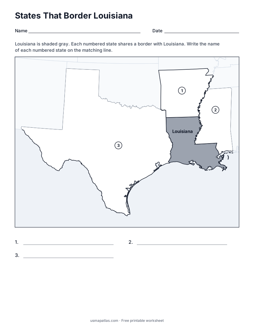
States That Border Louisiana
2-page PDF: worksheet and answer key
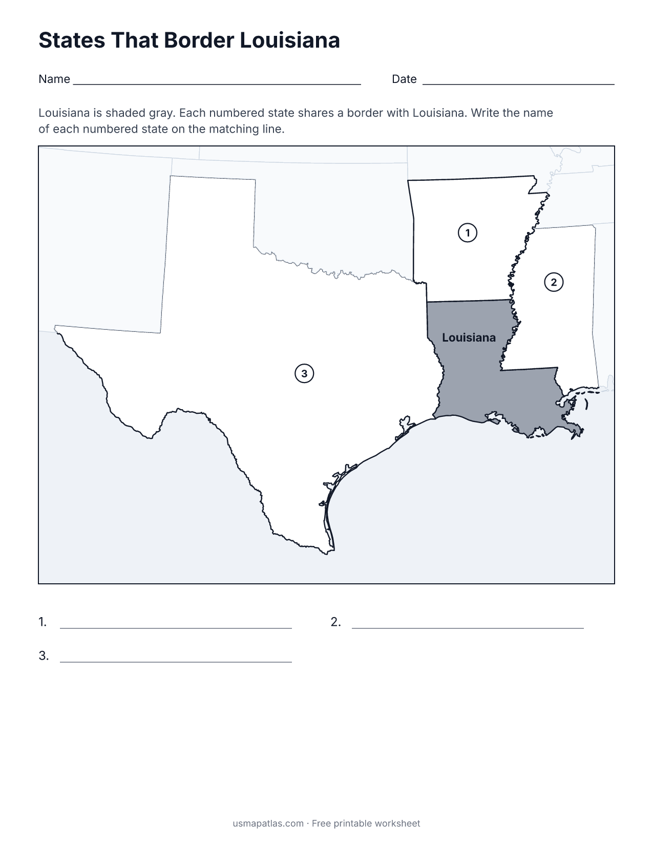
List of Louisiana parishes
All 64 parishes of Louisiana, in alphabetical order.
- Acadia
- Allen
- Ascension
- Assumption
- Avoyelles
- Beauregard
- Bienville
- Bossier
- Caddo
- Calcasieu
- Caldwell
- Cameron
- Catahoula
- Claiborne
- Concordia
- De Soto
- East Baton Rouge
- East Carroll
- East Feliciana
- Evangeline
- Franklin
- Grant
- Iberia
- Iberville
- Jackson
- Jefferson
- Jefferson Davis
- Lafayette
- Lafourche
- LaSalle
- Lincoln
- Livingston
- Madison
- Morehouse
- Natchitoches
- Orleans
- Ouachita
- Plaquemines
- Pointe Coupee
- Rapides
- Red River
- Richland
- Sabine
- St. Bernard
- St. Charles
- St. Helena
- St. James
- St. John the Baptist
- St. Landry
- St. Martin
- St. Mary
- St. Tammany
- Tangipahoa
- Tensas
- Terrebonne
- Union
- Vermilion
- Vernon
- Washington
- Webster
- West Baton Rouge
- West Carroll
- West Feliciana
- Winn
Frequently asked questions
What is the capital of Louisiana?
Baton Rouge is the capital of Louisiana. The largest city is New Orleans.
How many parishes are in Louisiana?
Louisiana has 64 parishes.
What states border Louisiana?
Louisiana shares a land border with 3 states: Arkansas, Mississippi and Texas.
When did Louisiana become a state?
Louisiana became a state on April 30, 1812, as the 18th state.