Connecticut Maps
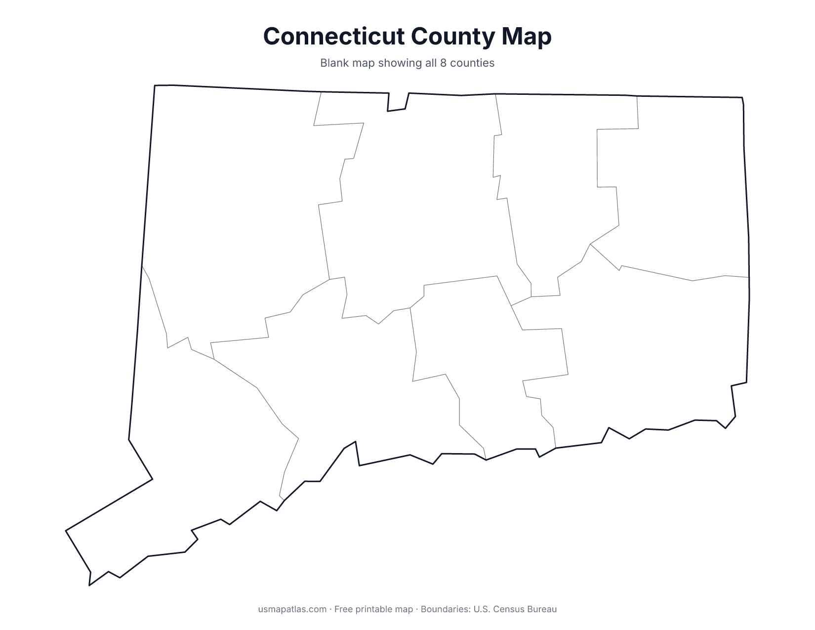
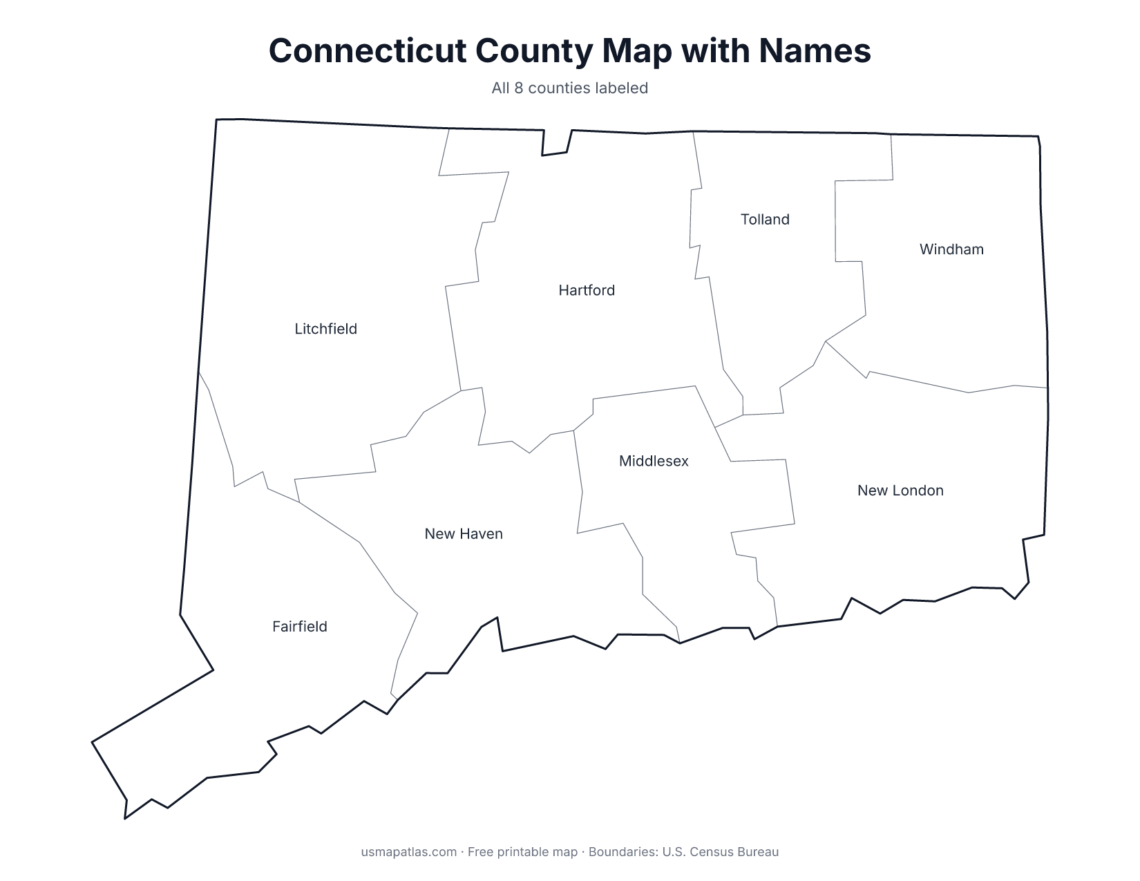
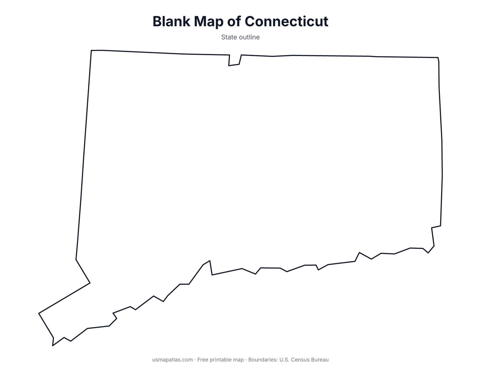
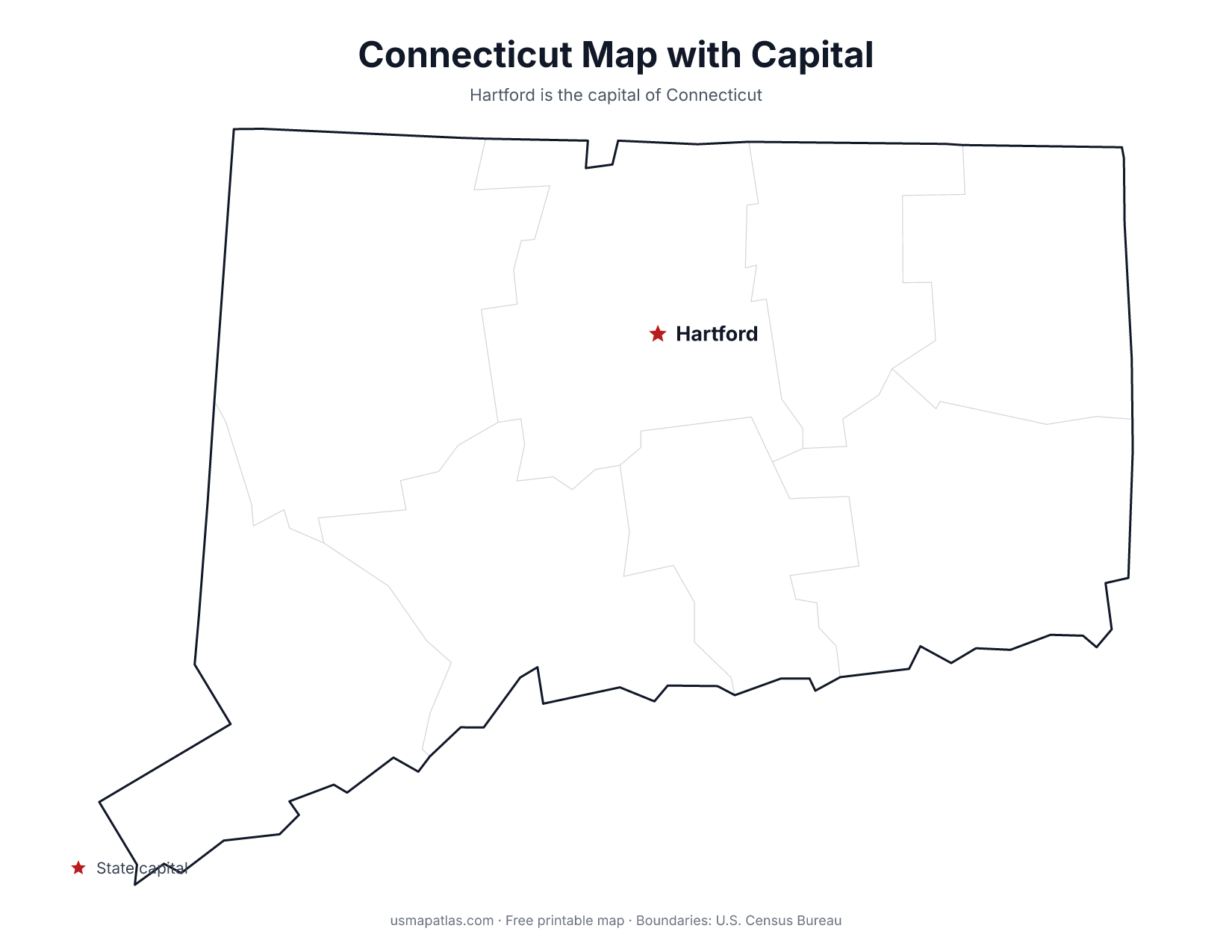
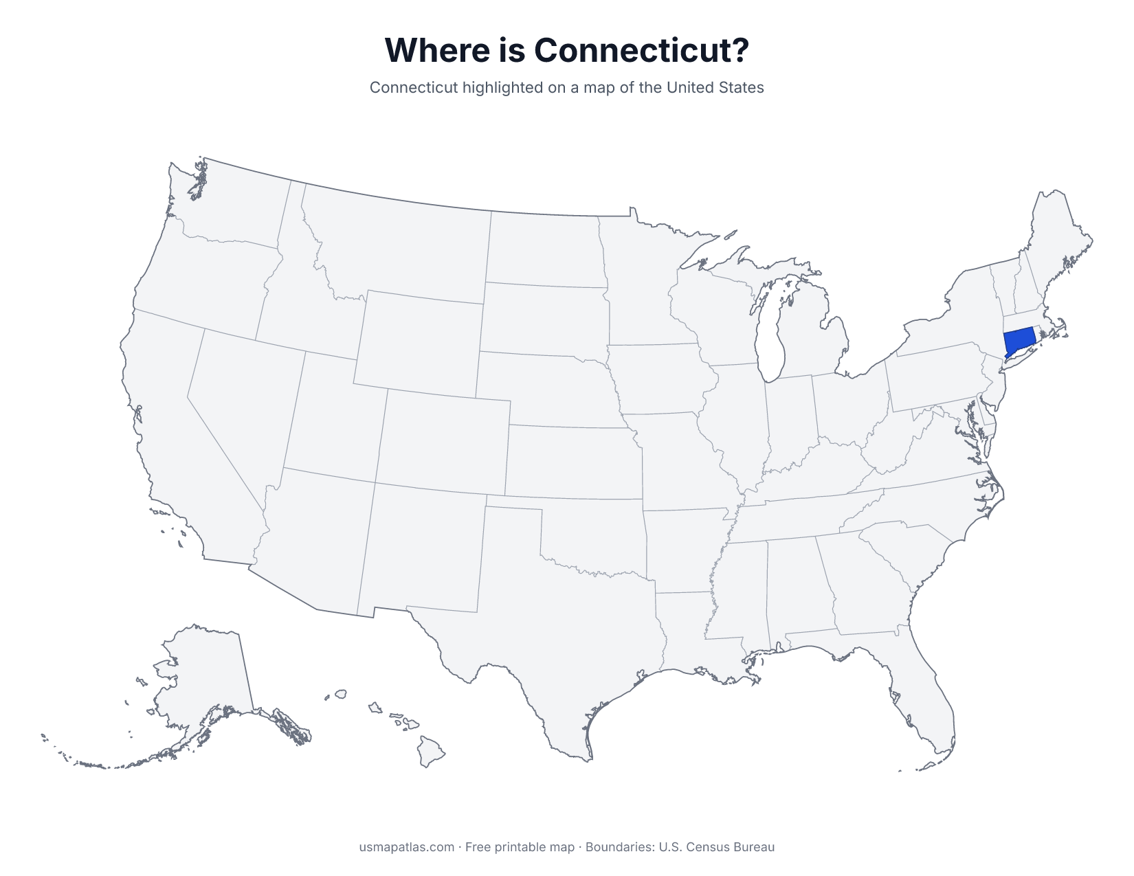
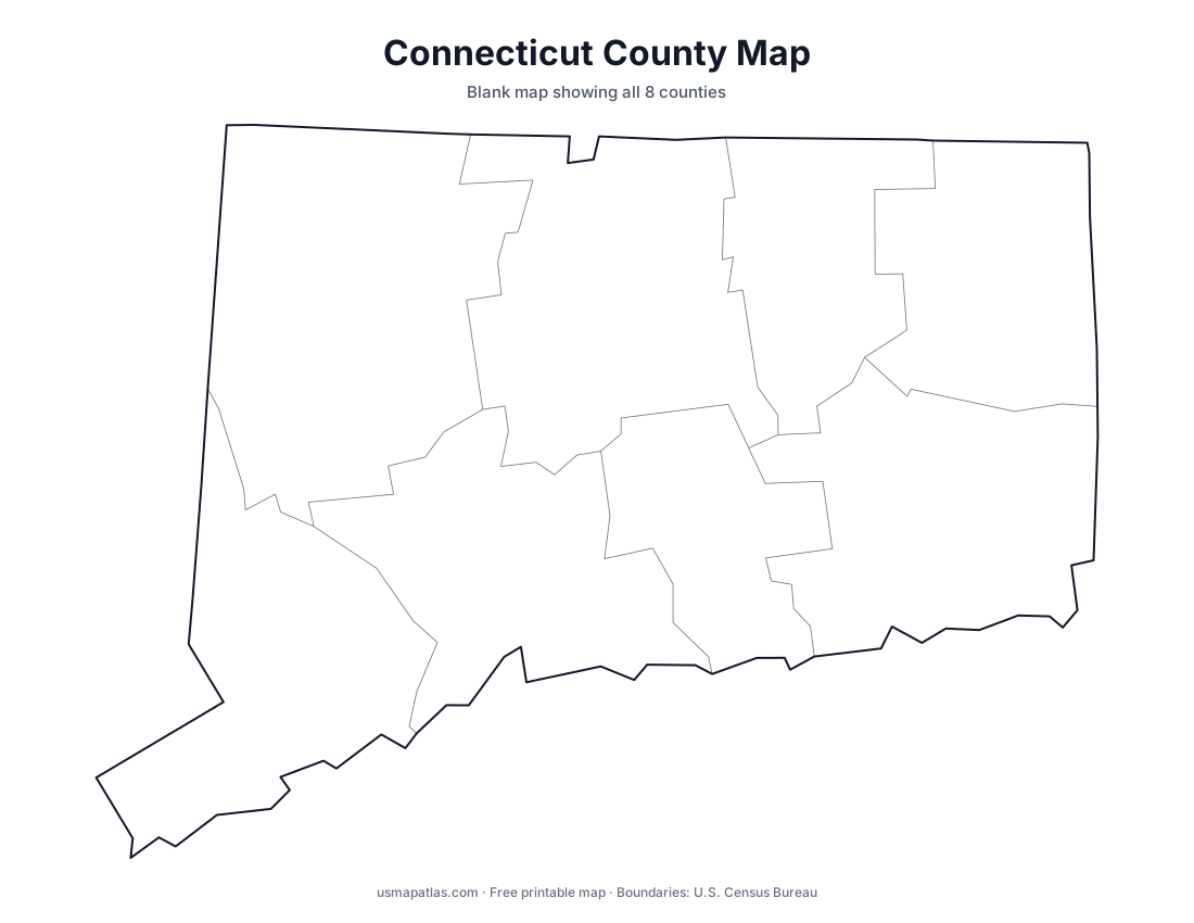
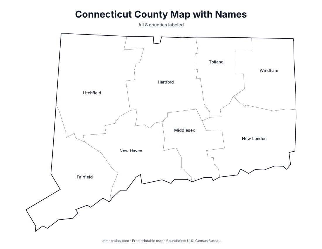
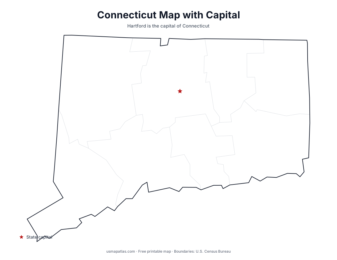
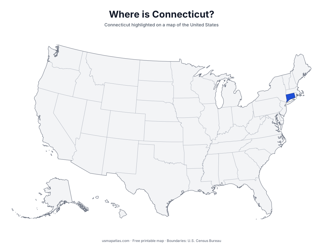
Free printable maps of Connecticut: a county map with all 8 counties, the same map with every name labeled, a blank outline, a map with the capital and a location map. Download any of them as PDF, PNG or SVG, along with free Connecticut worksheets.
About Connecticut
Connecticut is the southernmost New England state, with Long Island Sound along its southern shore. The Connecticut River, the longest river in New England, flows south through the middle of the state past Hartford, the capital. The western part of the state is hilly and rises toward the Berkshires and the Taconic Mountains in the northwest corner. Bridgeport, New Haven and Stamford sit along the coast in the state's busiest corridor. Bridgeport is the largest city.
Connecticut abolished county government in 1960, but its eight counties remain as geographic areas, and they are what these maps show. Since 2022 the Census Bureau has used Connecticut's nine planning regions as county-equivalents for its statistics.
More printable maps of Connecticut
Connecticut worksheets
Free printable worksheets for learning about Connecticut. Each PDF has the worksheet on page 1 and the answer key on page 2.
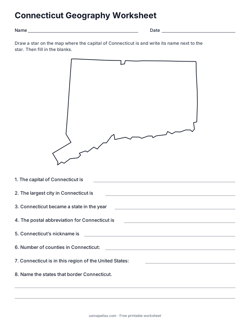
Connecticut Geography Worksheet
2-page PDF: worksheet and answer key
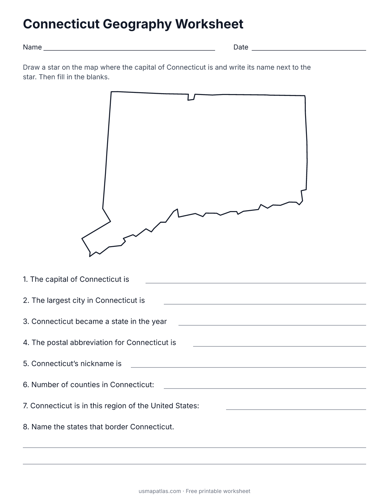
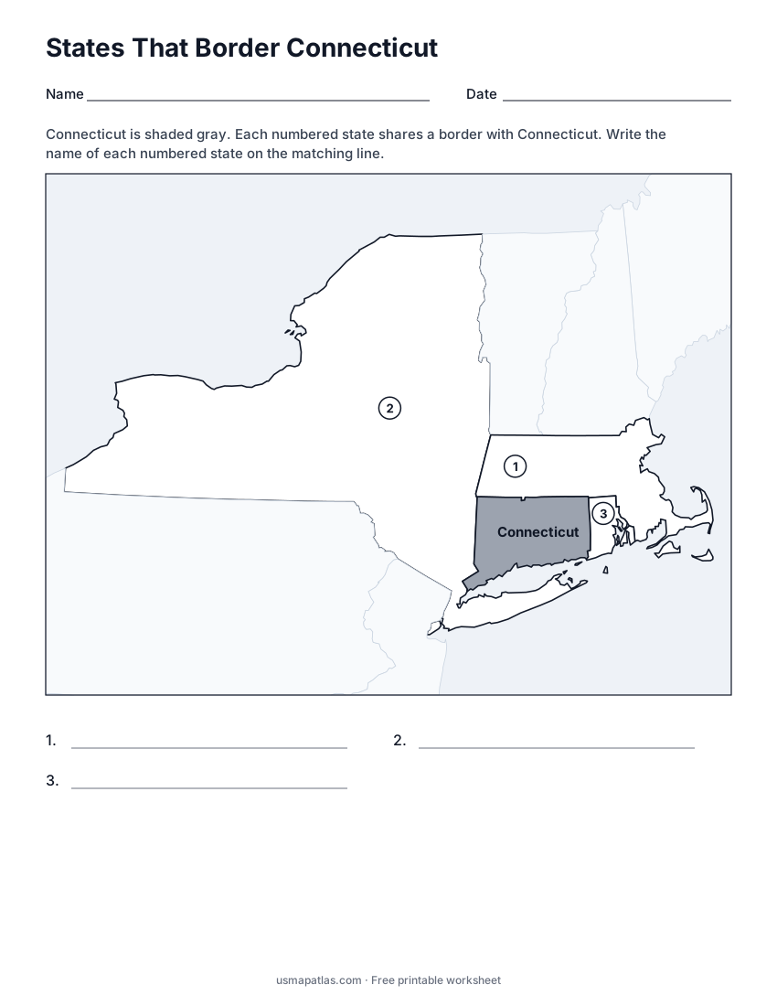
States That Border Connecticut
2-page PDF: worksheet and answer key
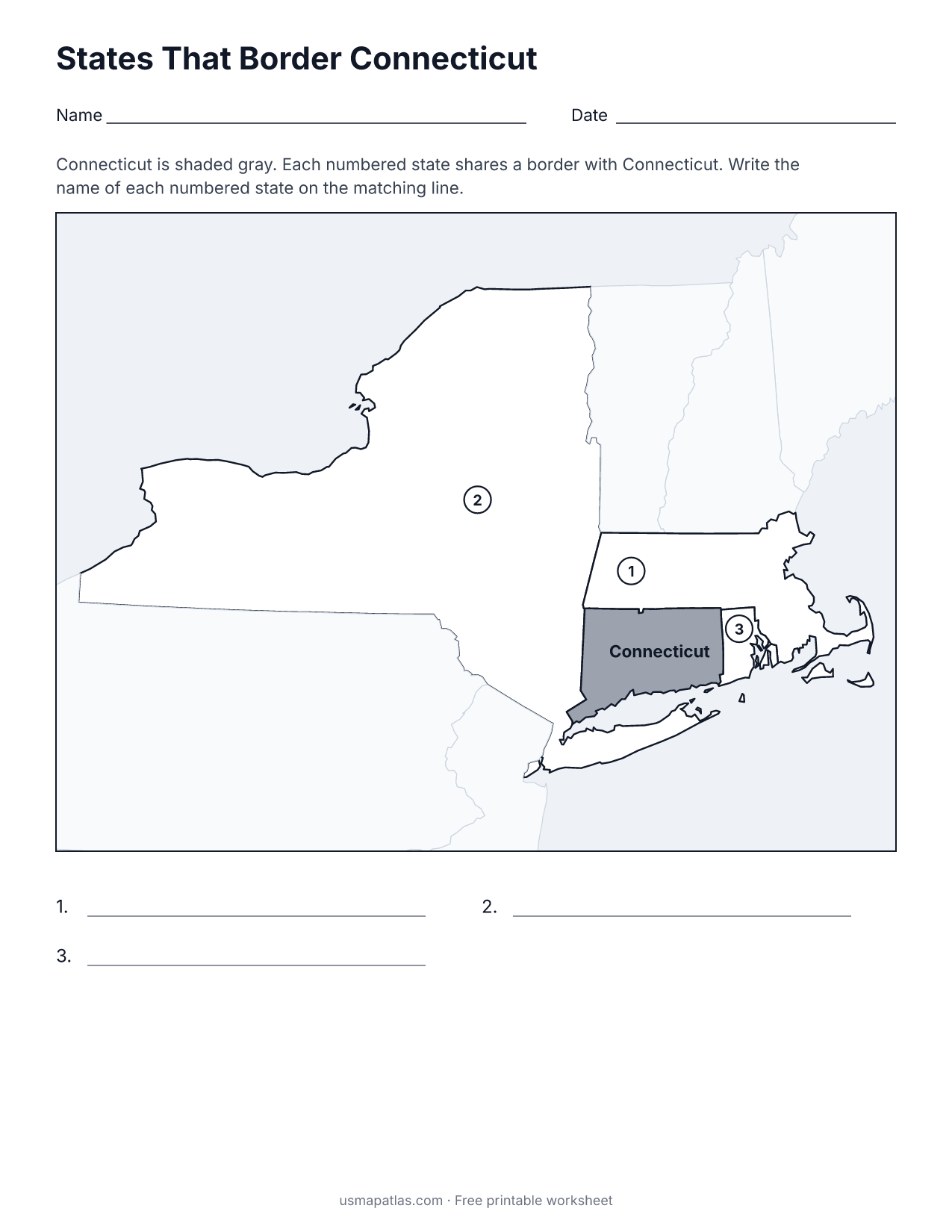
List of Connecticut counties
All 8 counties of Connecticut, in alphabetical order.
- Fairfield
- Hartford
- Litchfield
- Middlesex
- New Haven
- New London
- Tolland
- Windham
Frequently asked questions
What is the capital of Connecticut?
Hartford is the capital of Connecticut. The largest city is Bridgeport.
How many counties are in Connecticut?
Connecticut has 8 counties.
What states border Connecticut?
Connecticut shares a land border with 3 states: Massachusetts, New York and Rhode Island.
When did Connecticut become a state?
Connecticut became a state on January 9, 1788, as the 5th state.