New Hampshire Maps
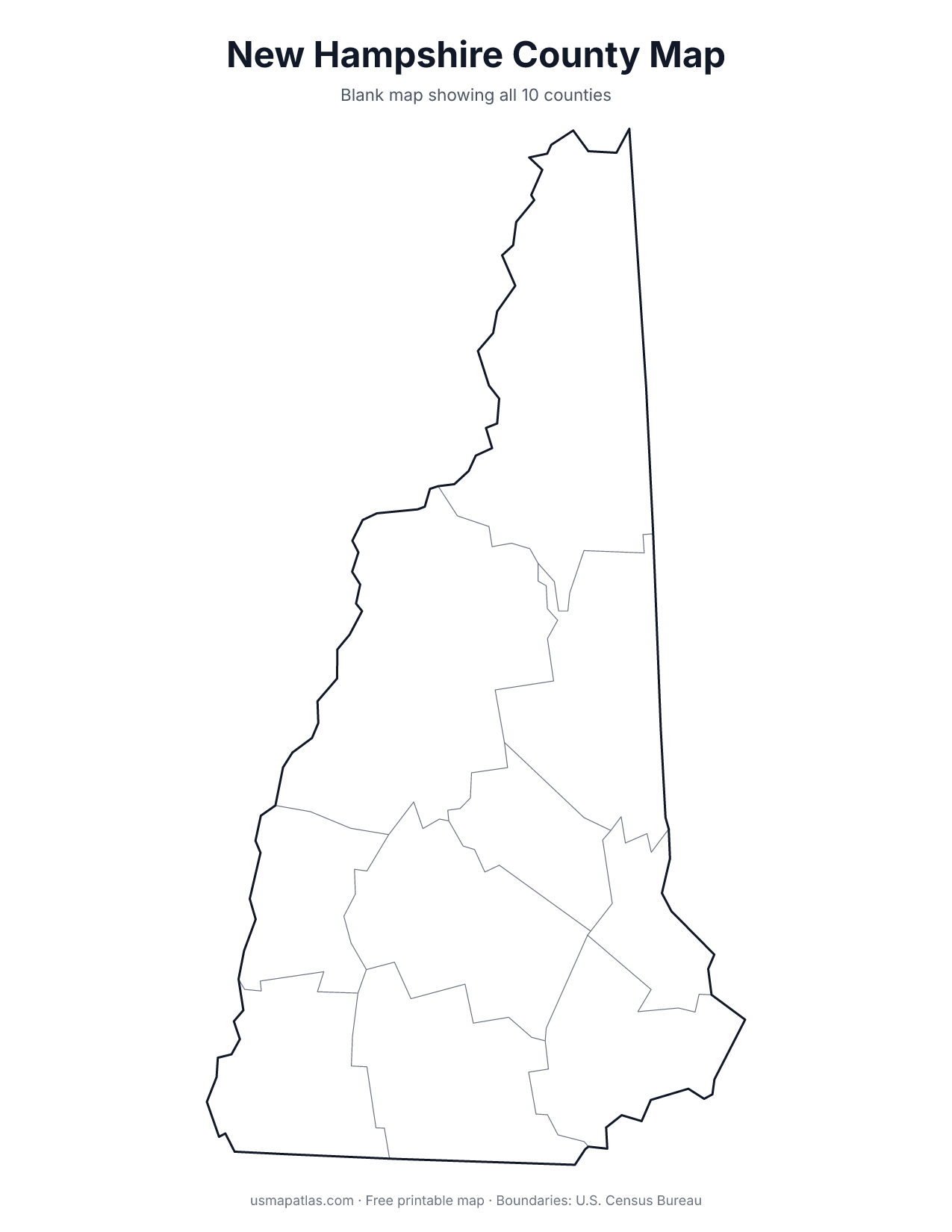
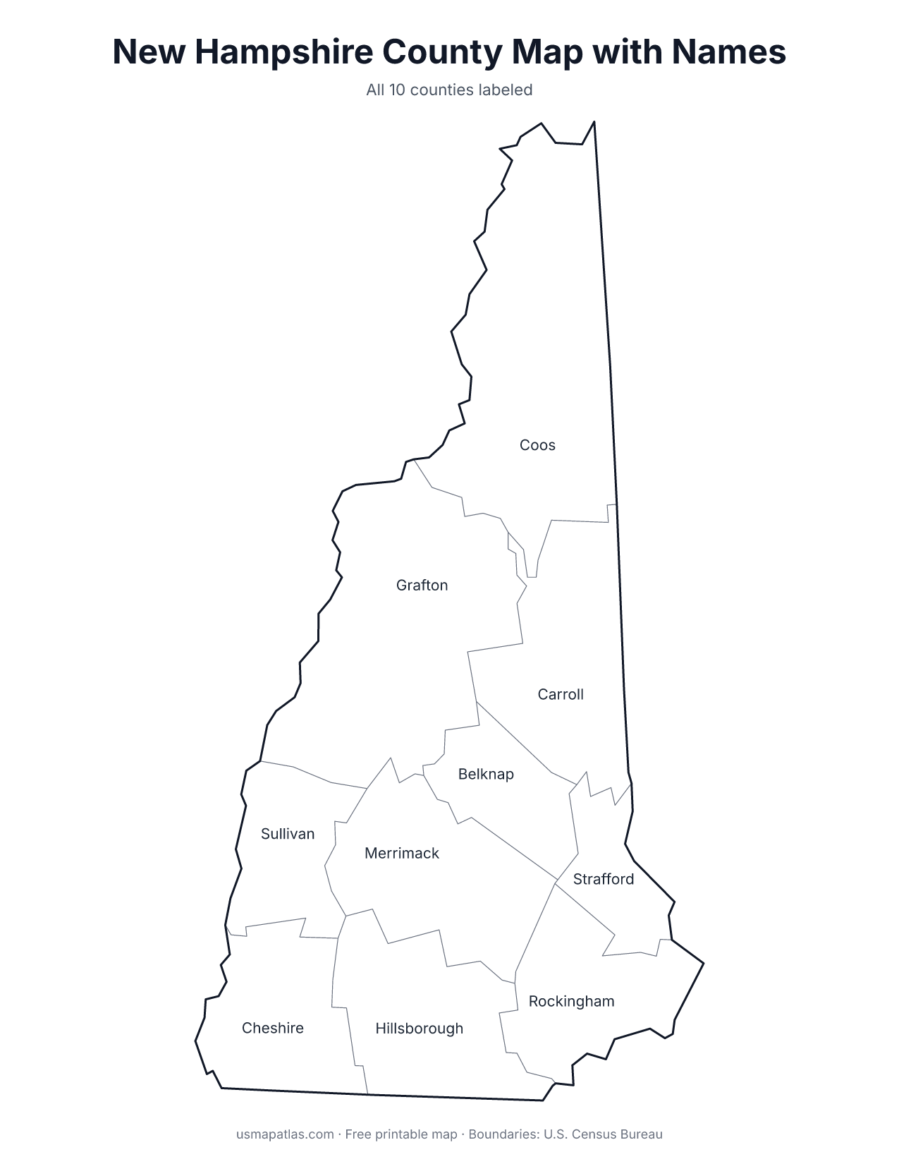
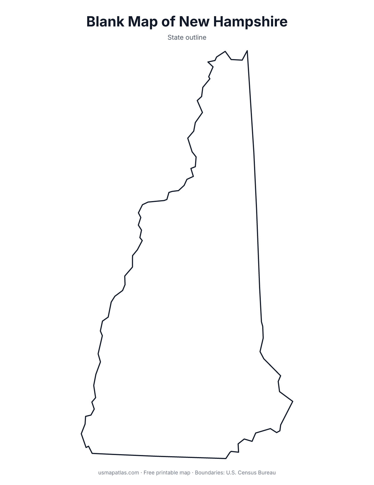
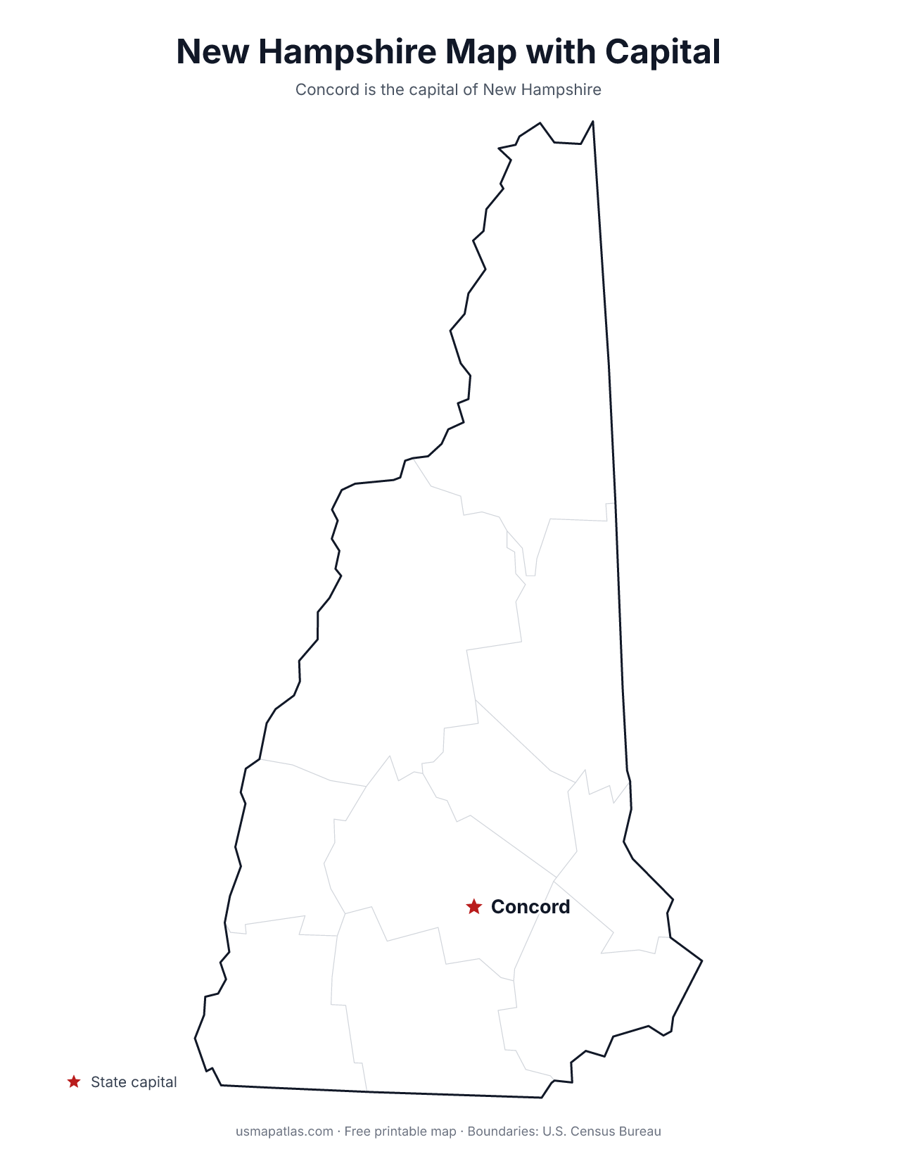
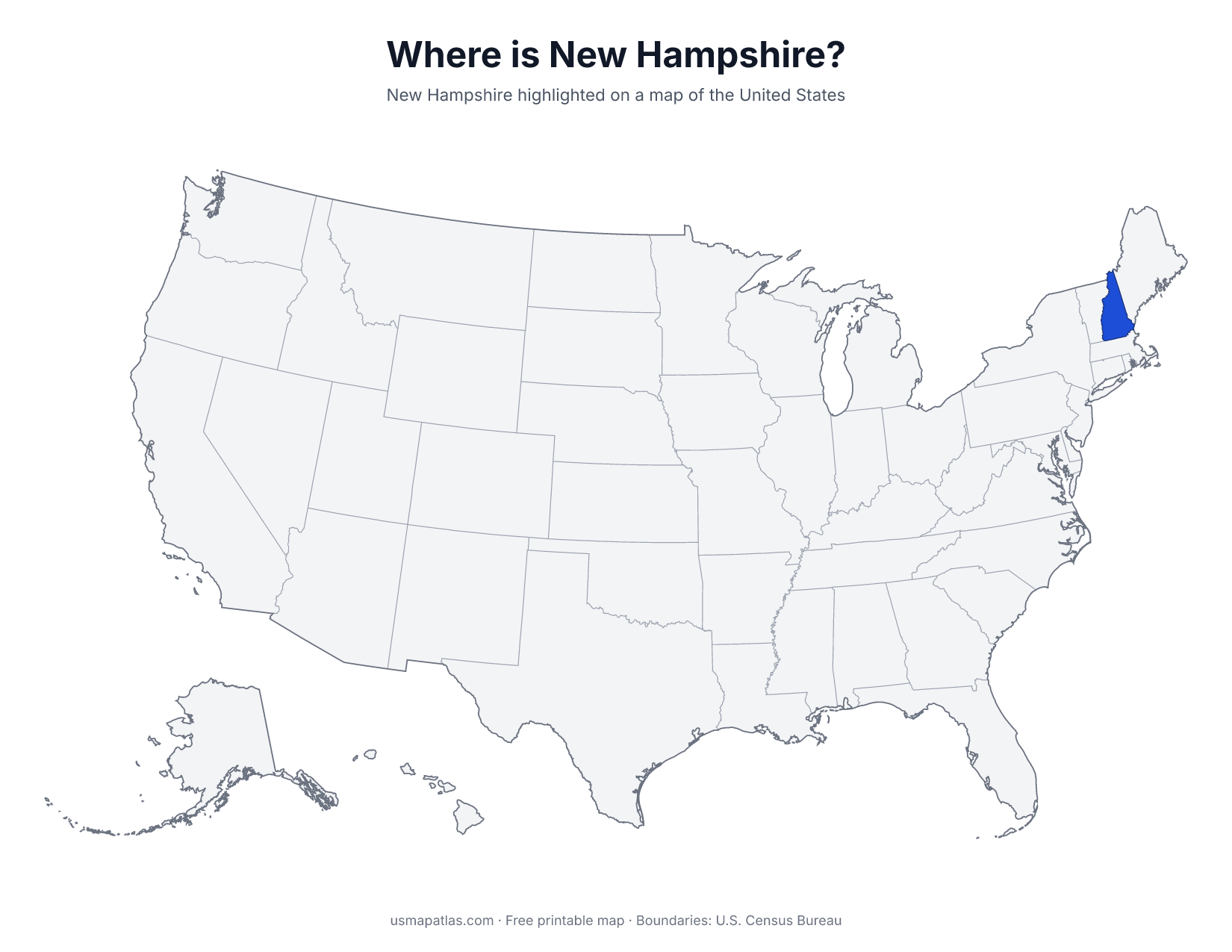
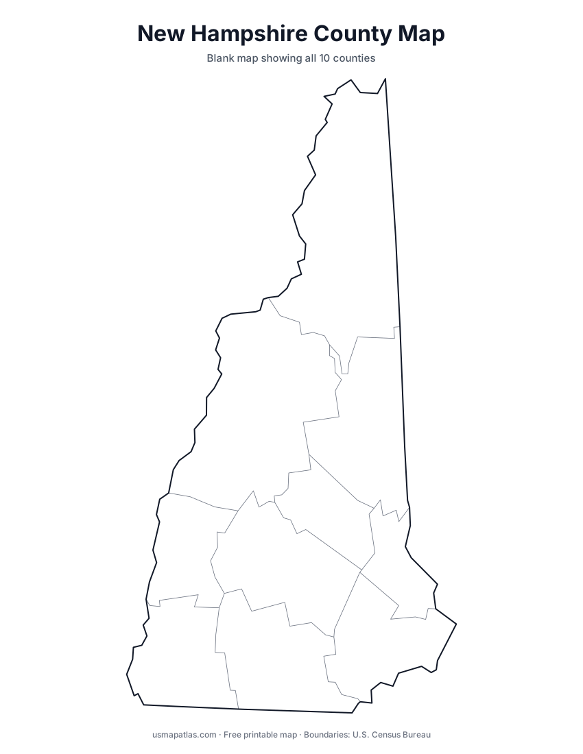
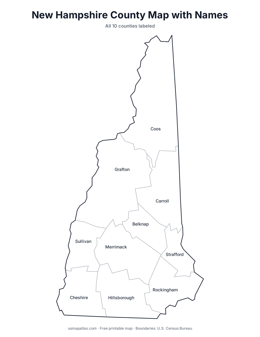
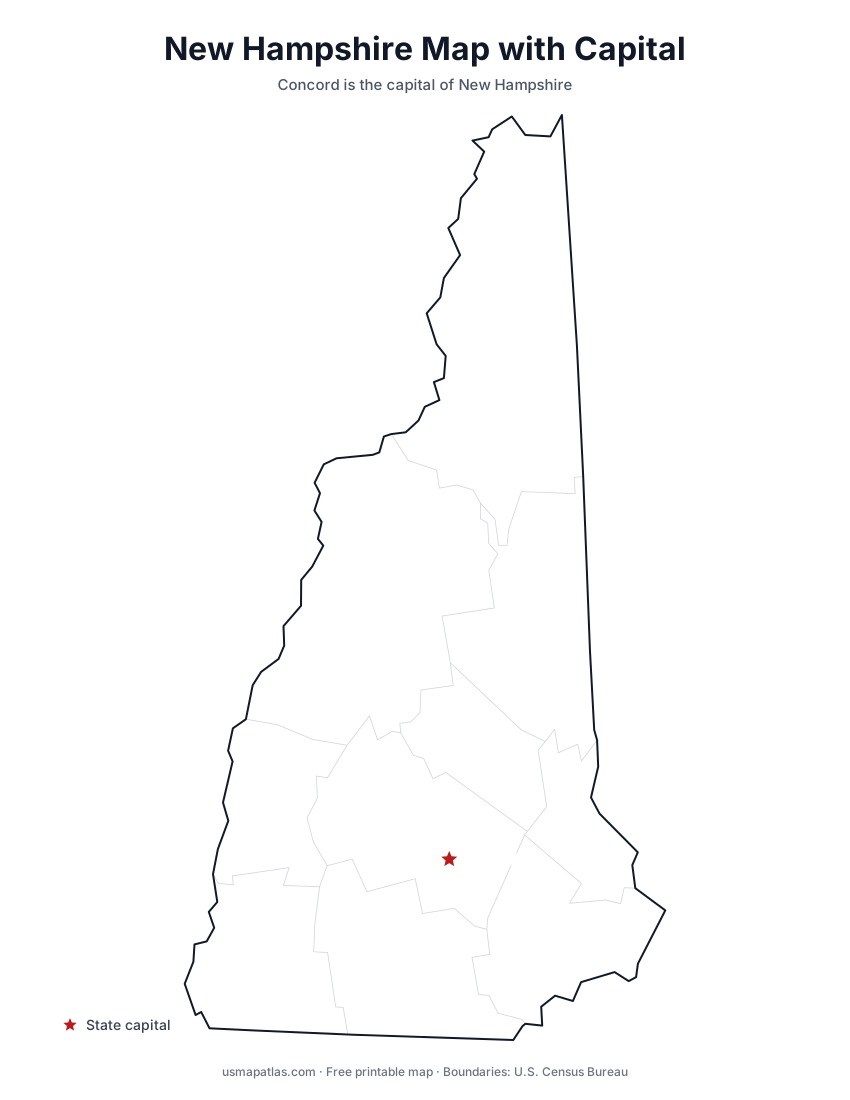
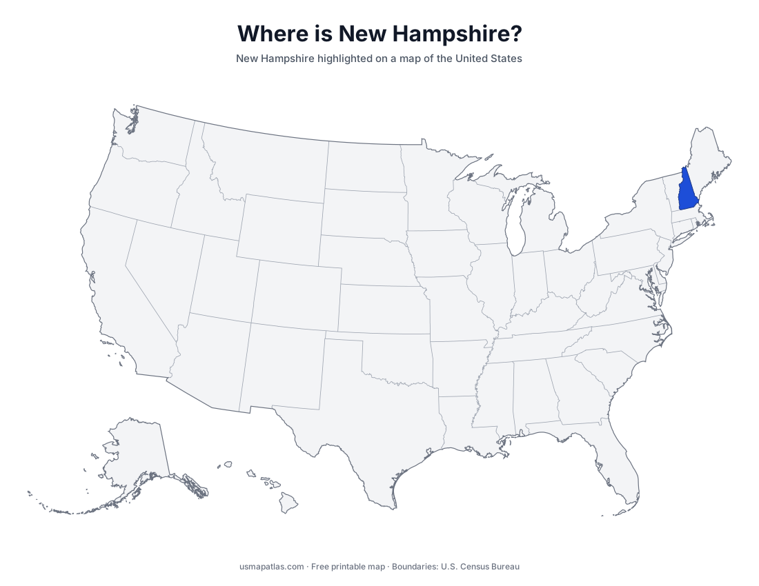
Free printable maps of New Hampshire: a county map with all 10 counties, the same map with every name labeled, a blank outline, a map with the capital and a location map. Download any of them as PDF, PNG or SVG, along with free New Hampshire worksheets.
About New Hampshire
New Hampshire has the shortest ocean coastline of any coastal state, less than 20 miles long. The White Mountains cover the north and include Mount Washington, the highest peak in the Northeast at 6,288 feet. The Connecticut River forms the entire western border with Vermont, and lakes such as Winnipesaukee fill the central region. Concord is the capital, and Manchester is the largest city.
More printable maps of New Hampshire
New Hampshire worksheets
Free printable worksheets for learning about New Hampshire. Each PDF has the worksheet on page 1 and the answer key on page 2.
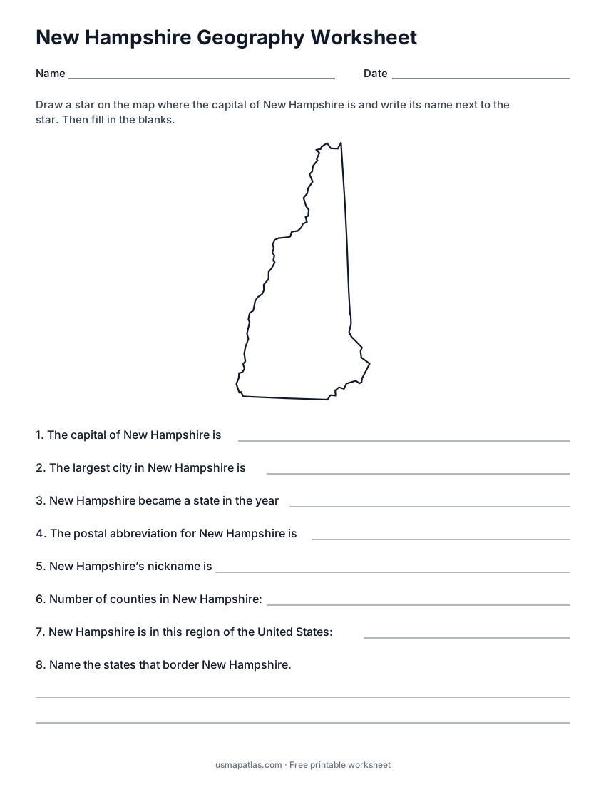
New Hampshire Geography Worksheet
2-page PDF: worksheet and answer key
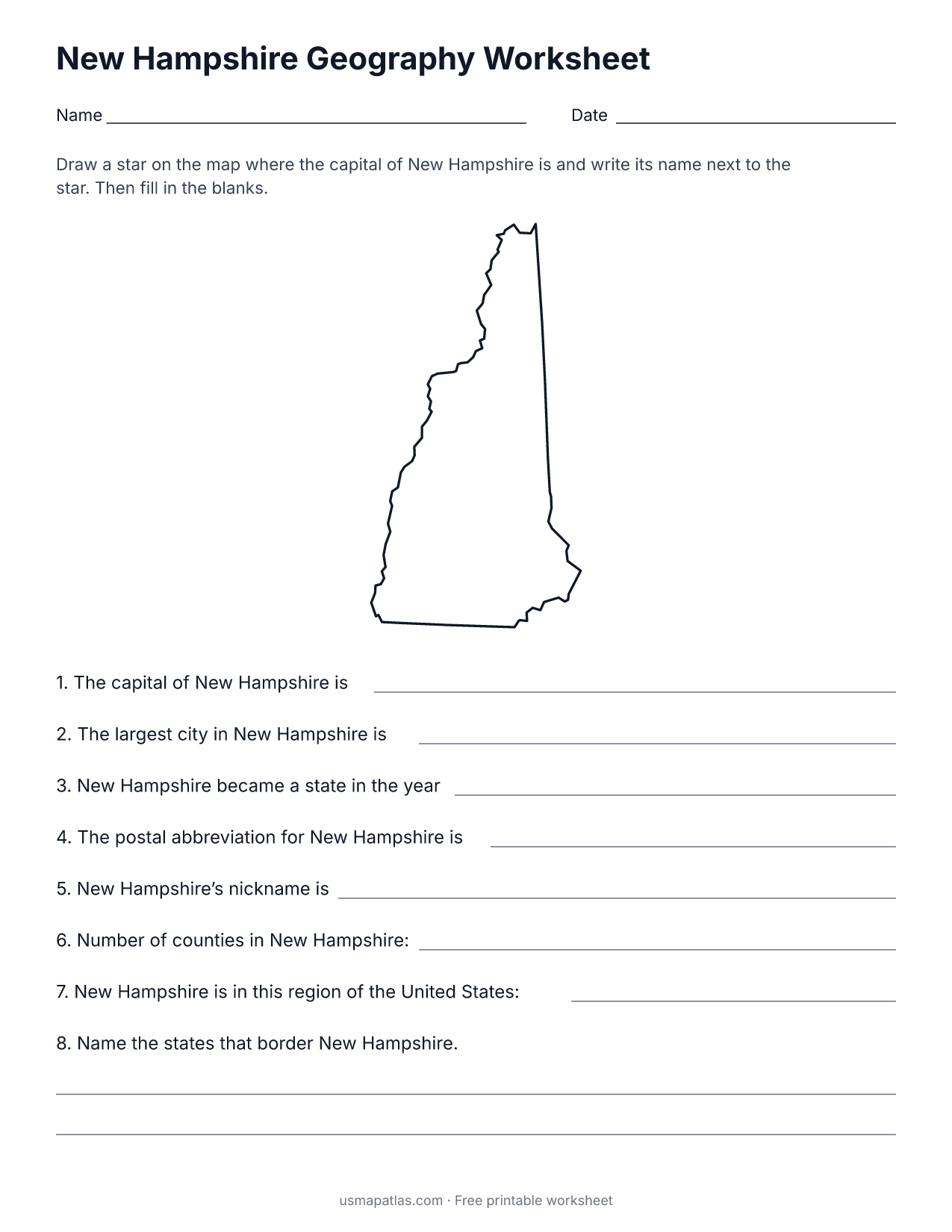
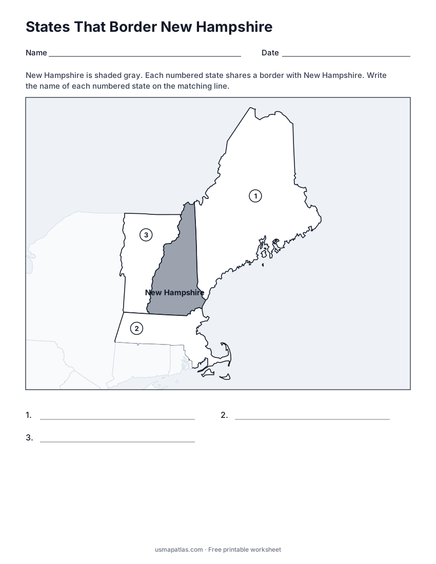
States That Border New Hampshire
2-page PDF: worksheet and answer key
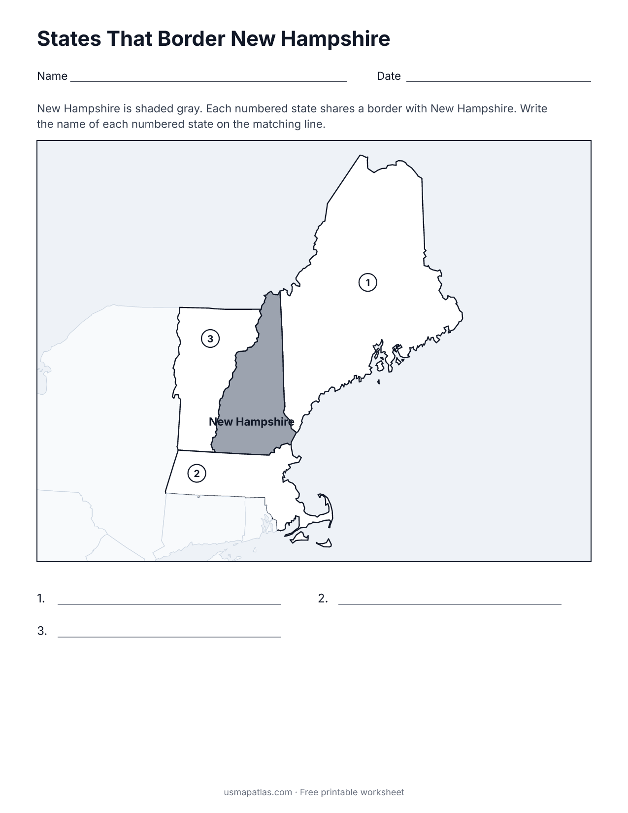
List of New Hampshire counties
All 10 counties of New Hampshire, in alphabetical order.
- Belknap
- Carroll
- Cheshire
- Coos
- Grafton
- Hillsborough
- Merrimack
- Rockingham
- Strafford
- Sullivan
Frequently asked questions
What is the capital of New Hampshire?
Concord is the capital of New Hampshire. The largest city is Manchester.
How many counties are in New Hampshire?
New Hampshire has 10 counties.
What states border New Hampshire?
New Hampshire shares a land border with 3 states: Maine, Massachusetts and Vermont.
When did New Hampshire become a state?
New Hampshire became a state on June 21, 1788, as the 9th state.