Minnesota Maps
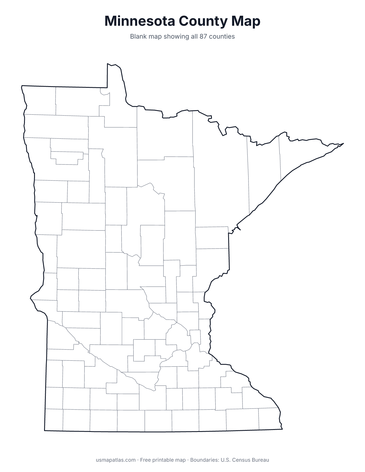
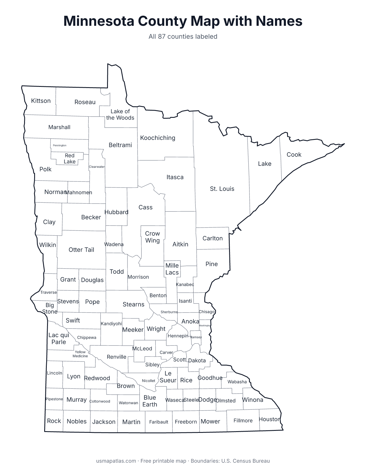
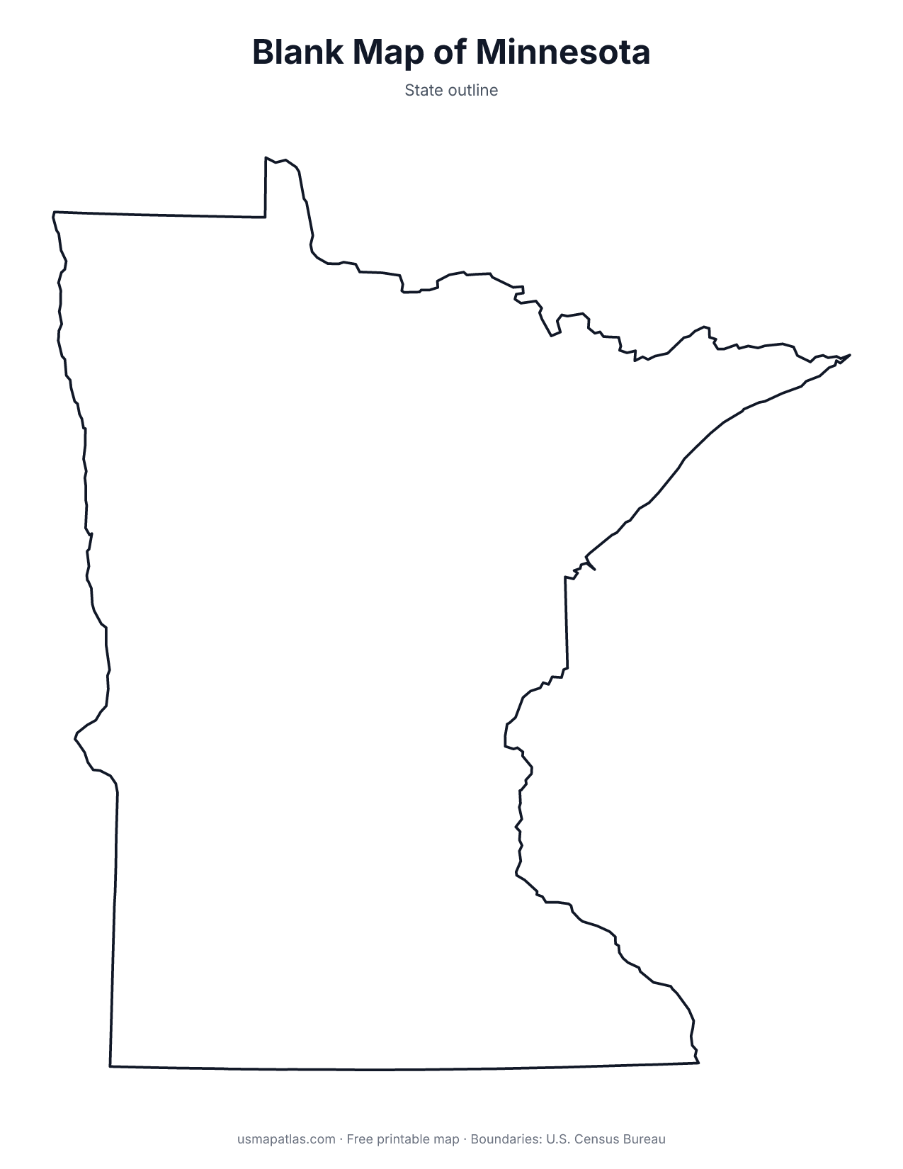
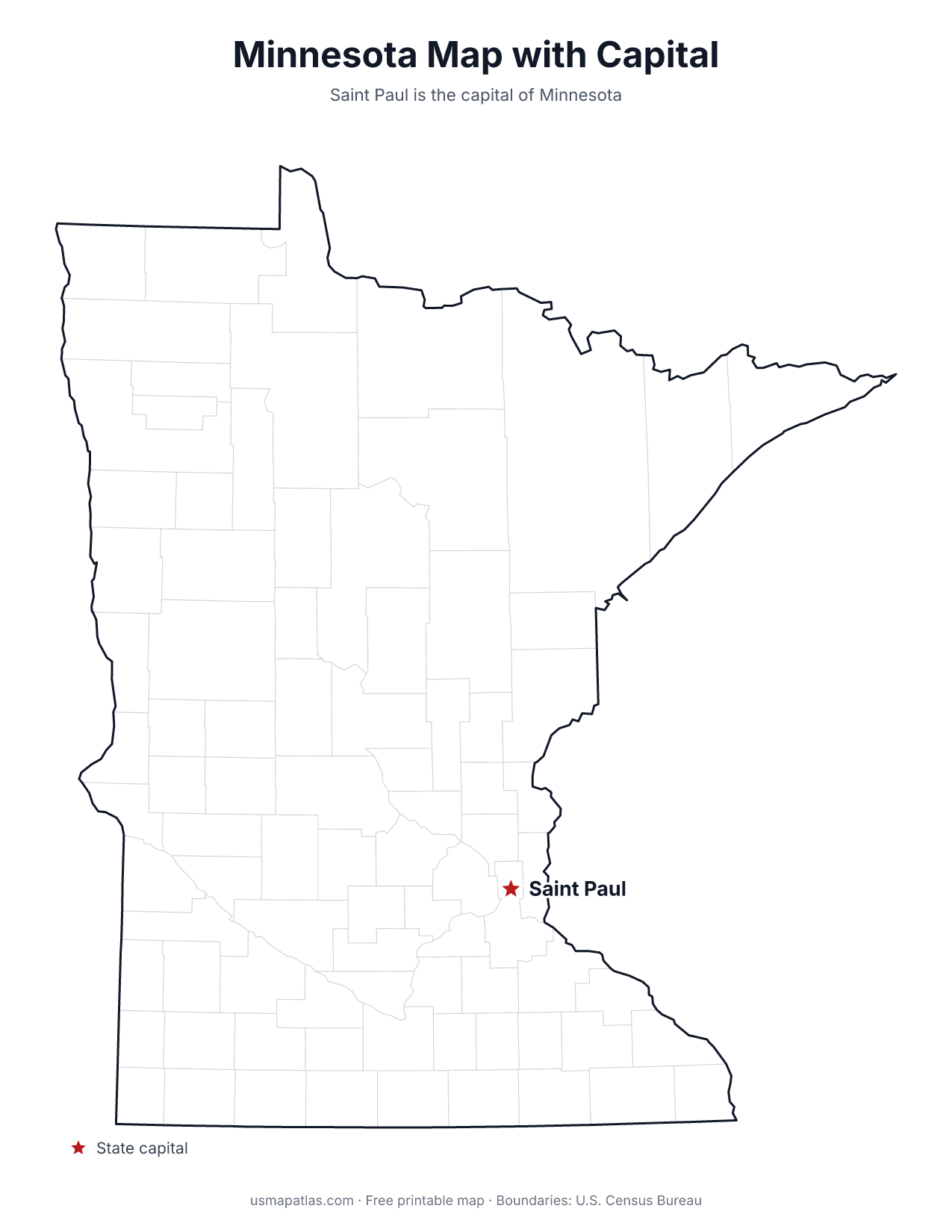
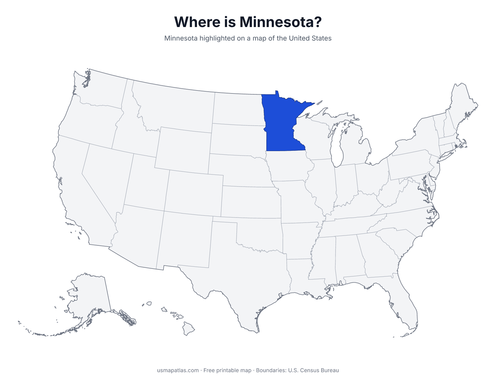
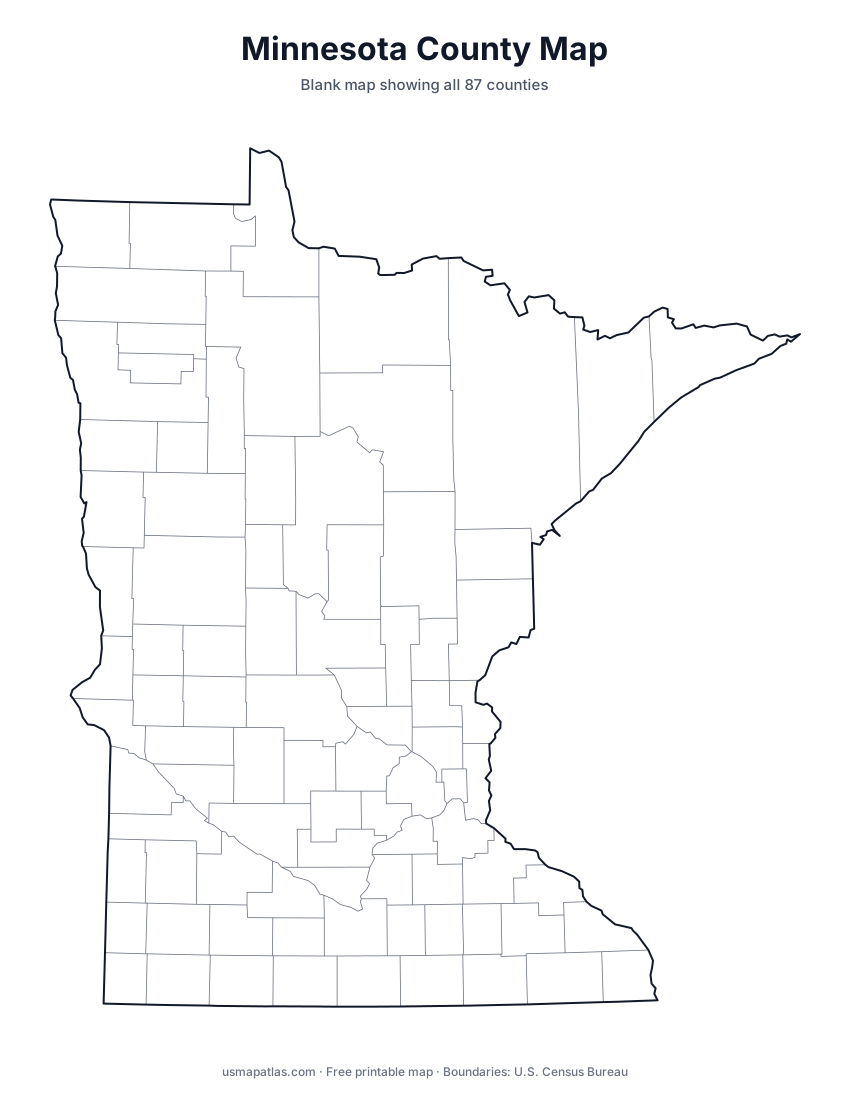
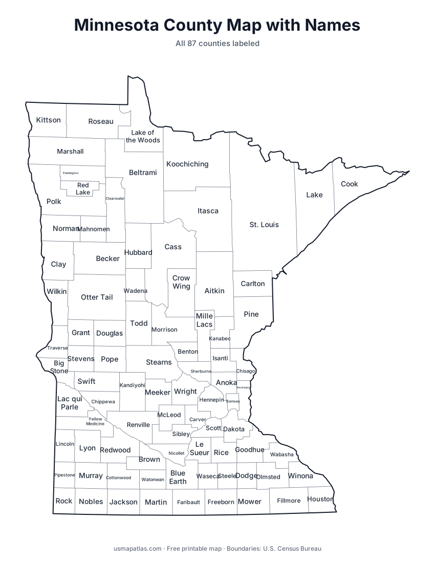
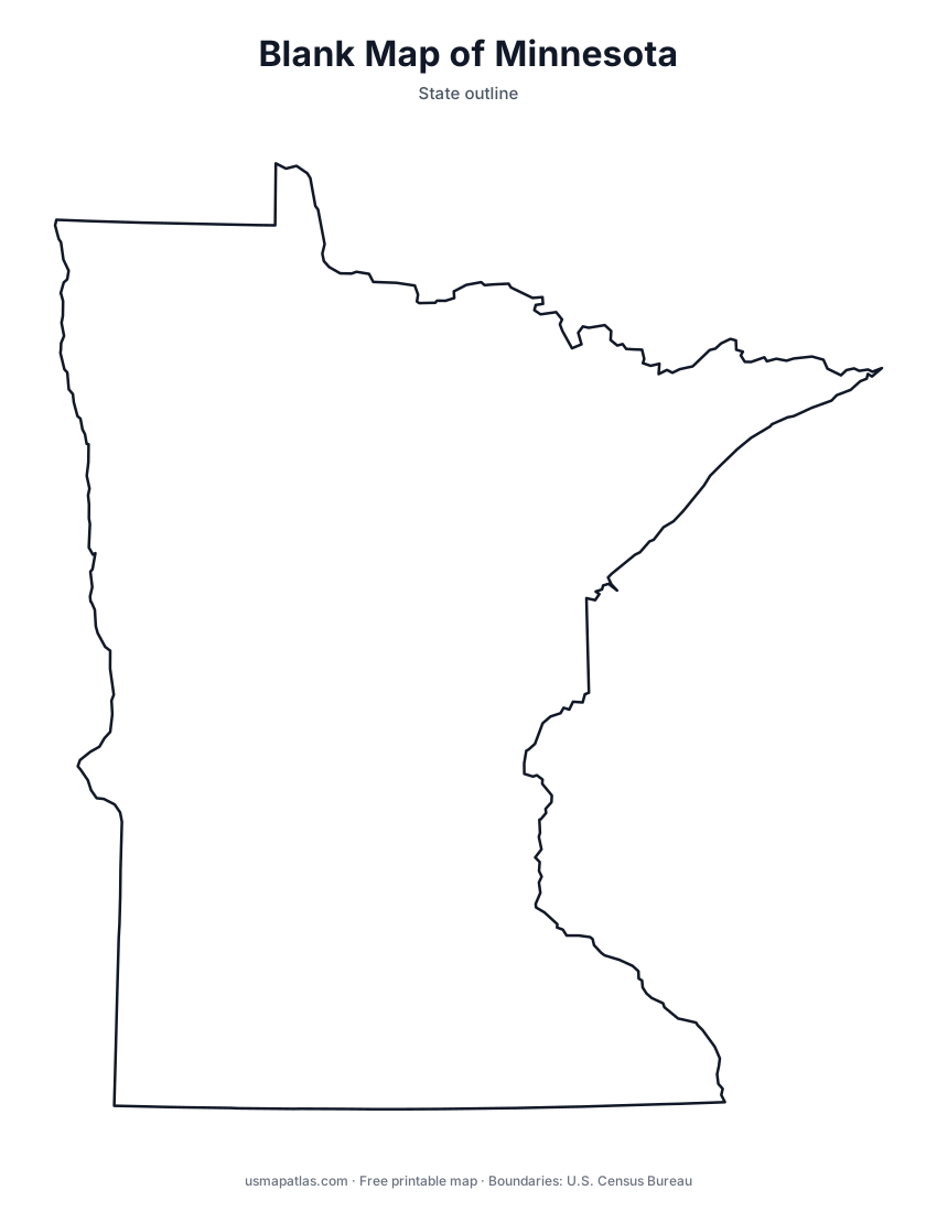
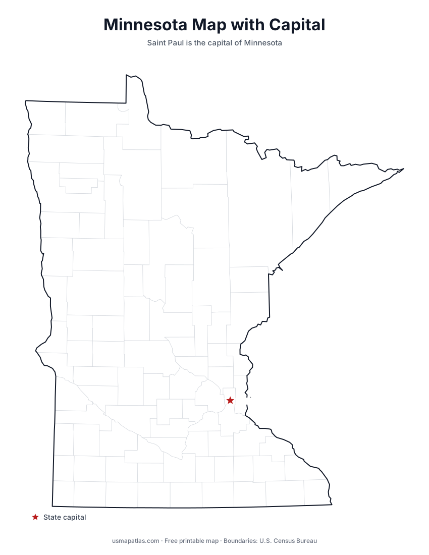
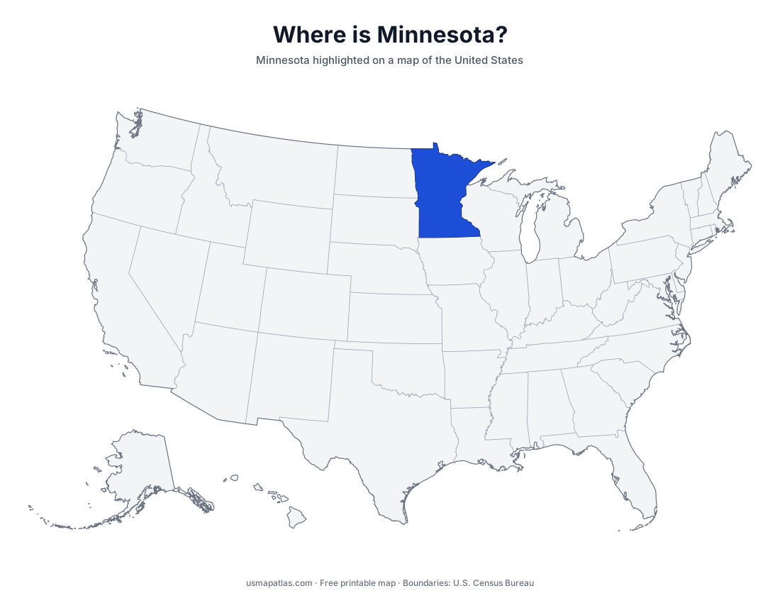
Free printable maps of Minnesota: a county map with all 87 counties, the same map with every name labeled, a blank outline, a map with the capital and a location map. Download any of them as PDF, PNG or SVG, along with free Minnesota worksheets.
About Minnesota
Minnesota reaches farther north than any other state in the lower 48: its Northwest Angle juts above the 49th parallel into Lake of the Woods. Glaciers left the state covered in lakes, and the Mississippi River begins at Lake Itasca in the north. The northeast holds the Iron Range and the North Shore of Lake Superior, while the south and west are prairie and farmland. Saint Paul is the capital, and neighboring Minneapolis is the largest city.
More printable maps of Minnesota
Minnesota worksheets
Free printable worksheets for learning about Minnesota. Each PDF has the worksheet on page 1 and the answer key on page 2.
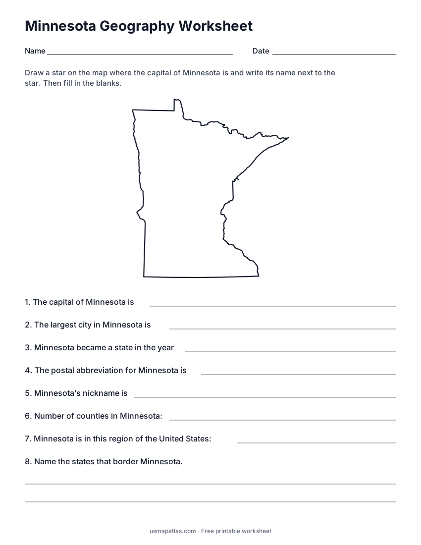
Minnesota Geography Worksheet
2-page PDF: worksheet and answer key
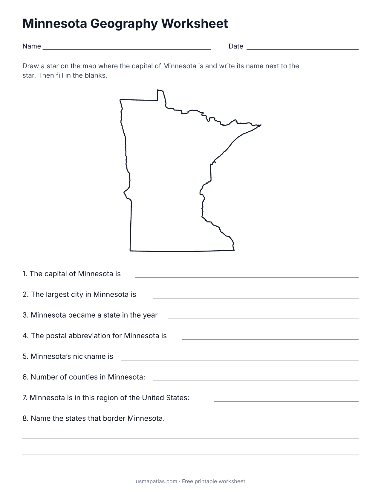
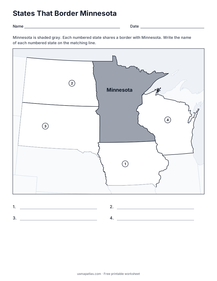
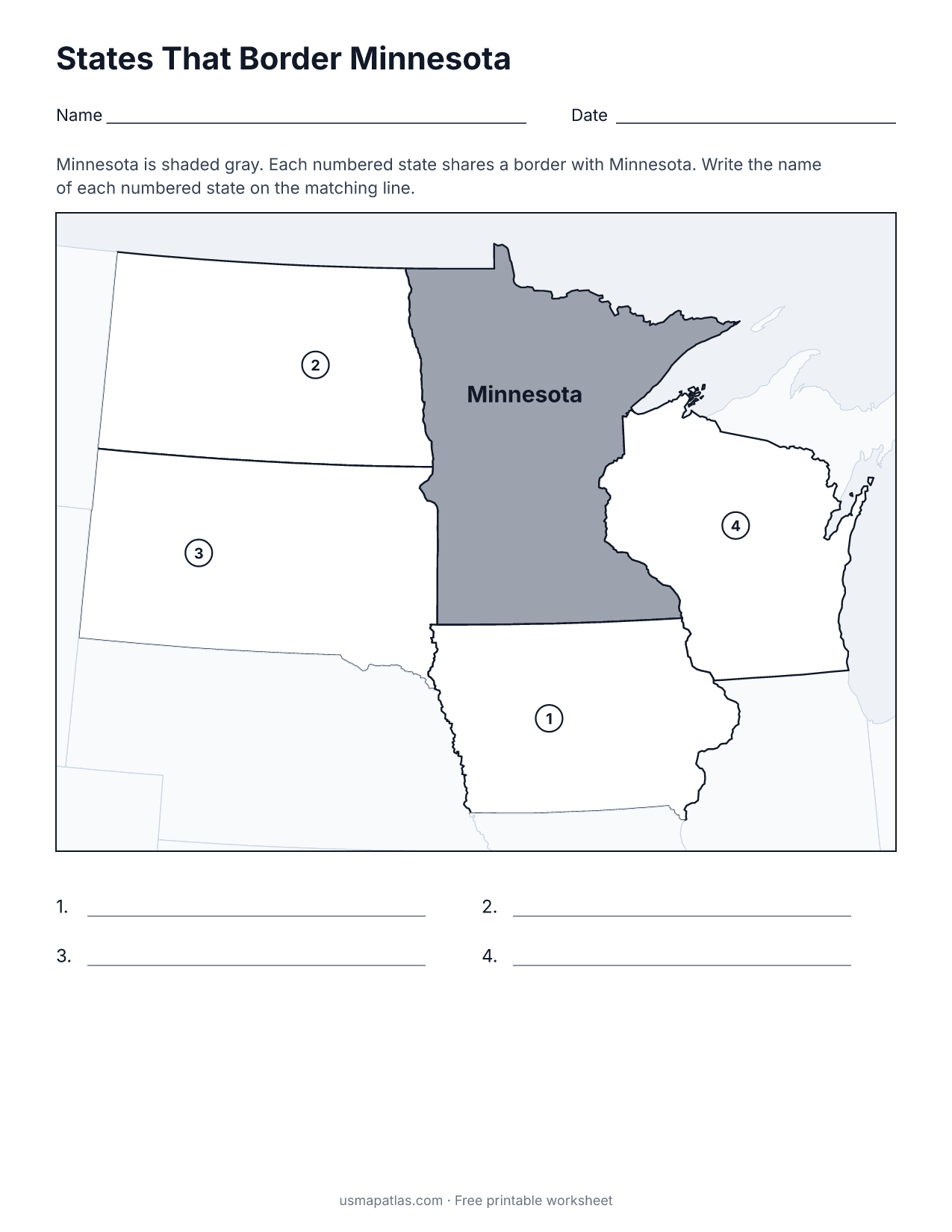
States That Border Minnesota
2-page PDF: worksheet and answer key
List of Minnesota counties
All 87 counties of Minnesota, in alphabetical order.
- Aitkin
- Anoka
- Becker
- Beltrami
- Benton
- Big Stone
- Blue Earth
- Brown
- Carlton
- Carver
- Cass
- Chippewa
- Chisago
- Clay
- Clearwater
- Cook
- Cottonwood
- Crow Wing
- Dakota
- Dodge
- Douglas
- Faribault
- Fillmore
- Freeborn
- Goodhue
- Grant
- Hennepin
- Houston
- Hubbard
- Isanti
- Itasca
- Jackson
- Kanabec
- Kandiyohi
- Kittson
- Koochiching
- Lac qui Parle
- Lake
- Lake of the Woods
- Le Sueur
- Lincoln
- Lyon
- Mahnomen
- Marshall
- Martin
- McLeod
- Meeker
- Mille Lacs
- Morrison
- Mower
- Murray
- Nicollet
- Nobles
- Norman
- Olmsted
- Otter Tail
- Pennington
- Pine
- Pipestone
- Polk
- Pope
- Ramsey
- Red Lake
- Redwood
- Renville
- Rice
- Rock
- Roseau
- Scott
- Sherburne
- Sibley
- St. Louis
- Stearns
- Steele
- Stevens
- Swift
- Todd
- Traverse
- Wabasha
- Wadena
- Waseca
- Washington
- Watonwan
- Wilkin
- Winona
- Wright
- Yellow Medicine
Frequently asked questions
What is the capital of Minnesota?
Saint Paul is the capital of Minnesota. The largest city is Minneapolis.
How many counties are in Minnesota?
Minnesota has 87 counties.
What states border Minnesota?
Minnesota shares a land border with 4 states: Iowa, North Dakota, South Dakota and Wisconsin.
When did Minnesota become a state?
Minnesota became a state on May 11, 1858, as the 32nd state.