Nebraska Maps
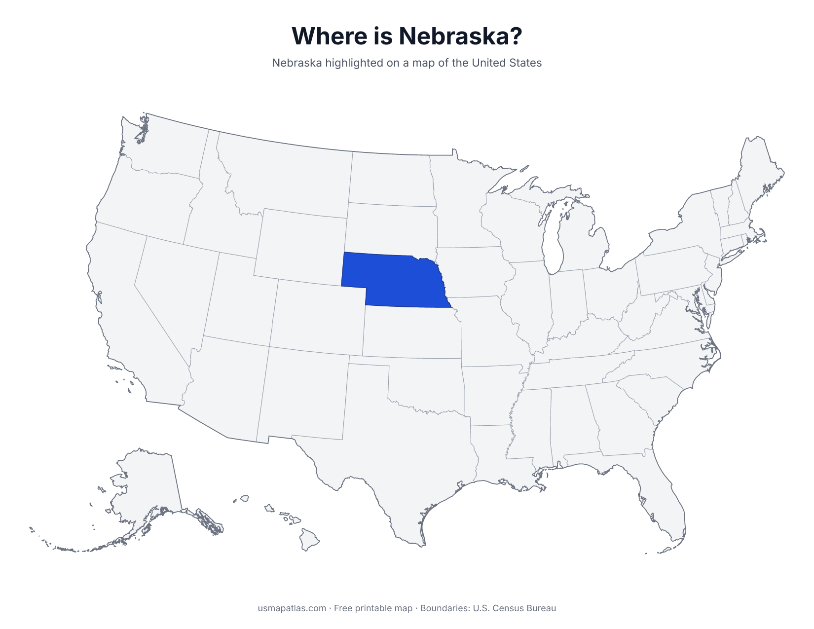
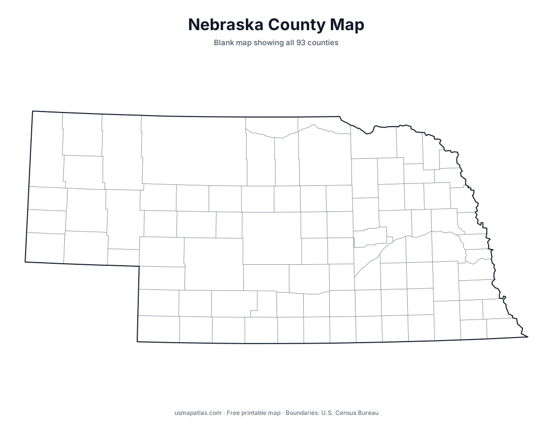
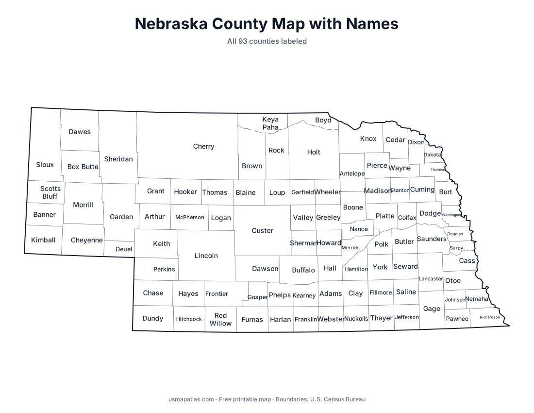
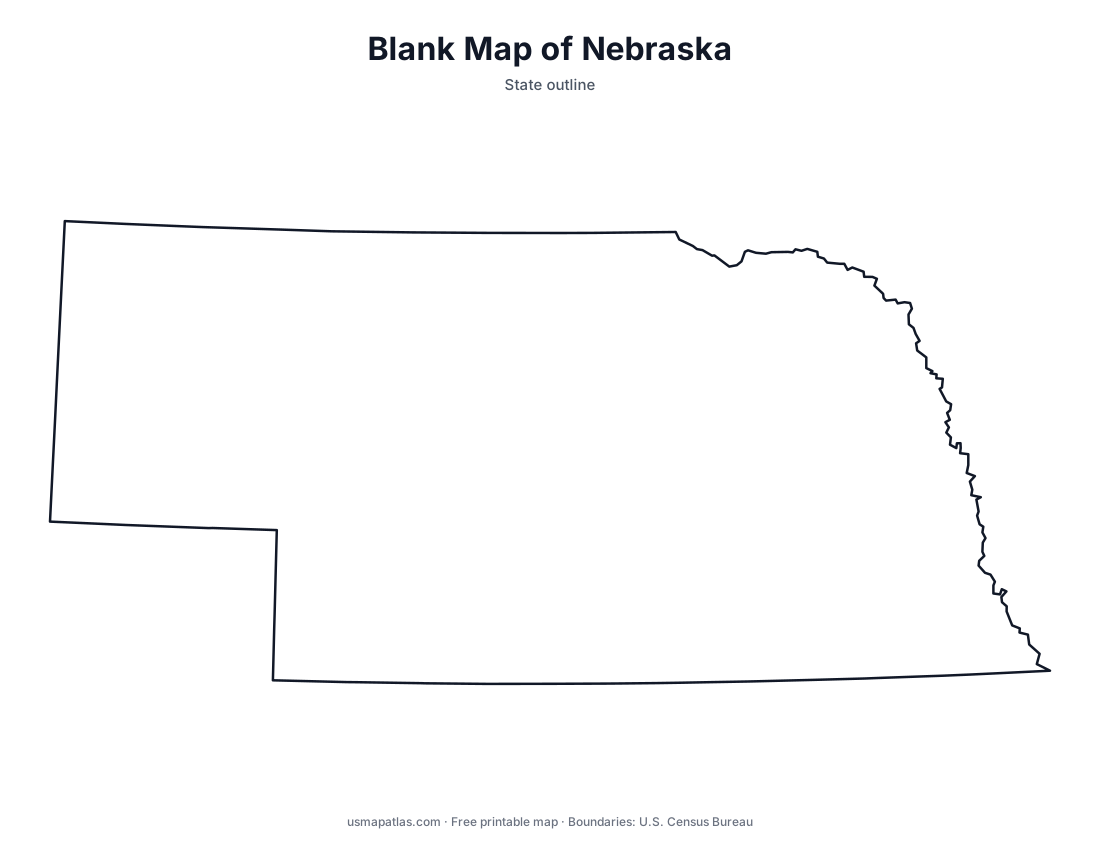
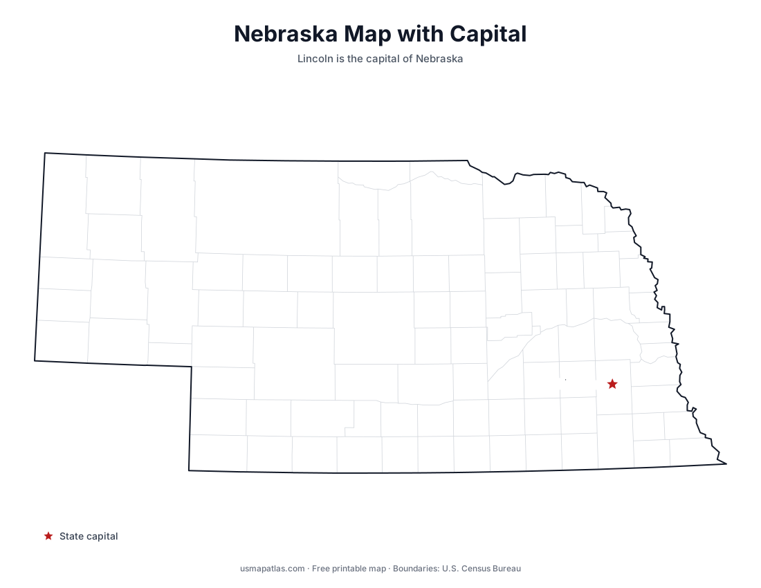
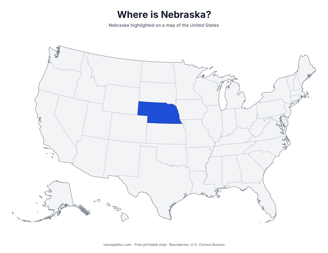
Free printable maps of Nebraska: a county map with all 93 counties, the same map with every name labeled, a blank outline, a map with the capital and a location map. Download any of them as PDF, PNG or SVG, along with free Nebraska worksheets.
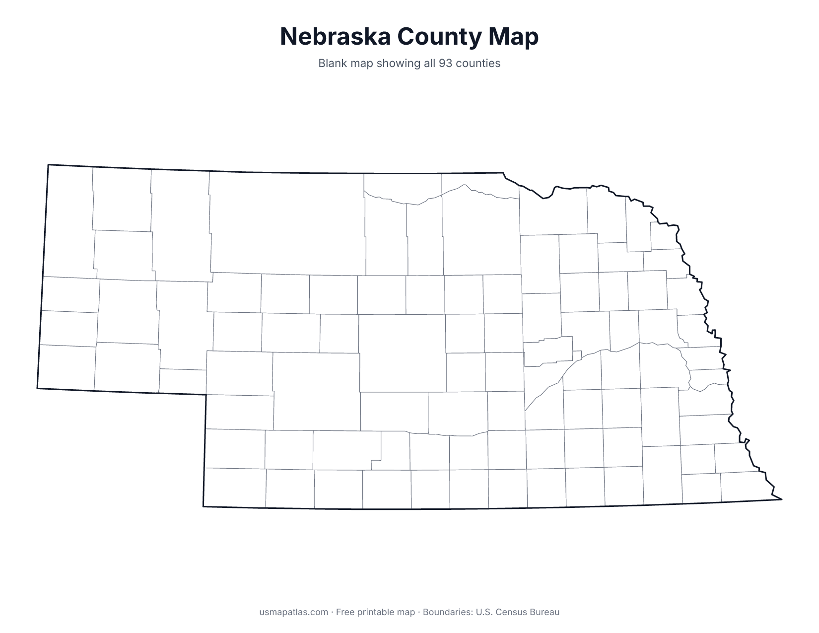
About Nebraska
Nebraska lies in the Great Plains, with the Missouri River forming its eastern border. The Platte River crosses the state from west to east and was the route of the Oregon Trail. The Sandhills in the north-central part of the state are the largest area of sand dunes in the Western Hemisphere, now covered in grass. The land rises toward the west, where the Panhandle reaches Wyoming and Colorado. Lincoln is the capital, and Omaha is the largest city.
More printable maps of Nebraska
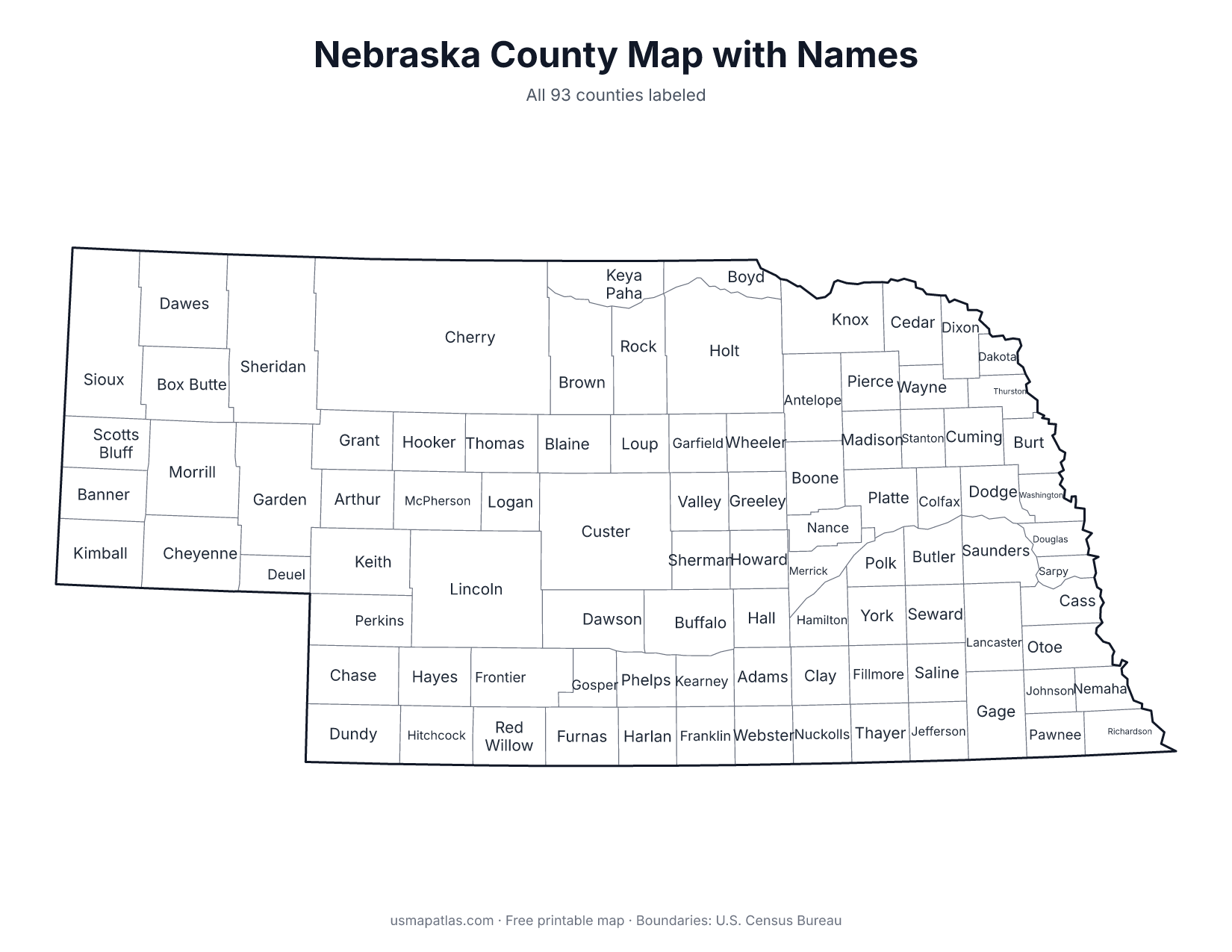
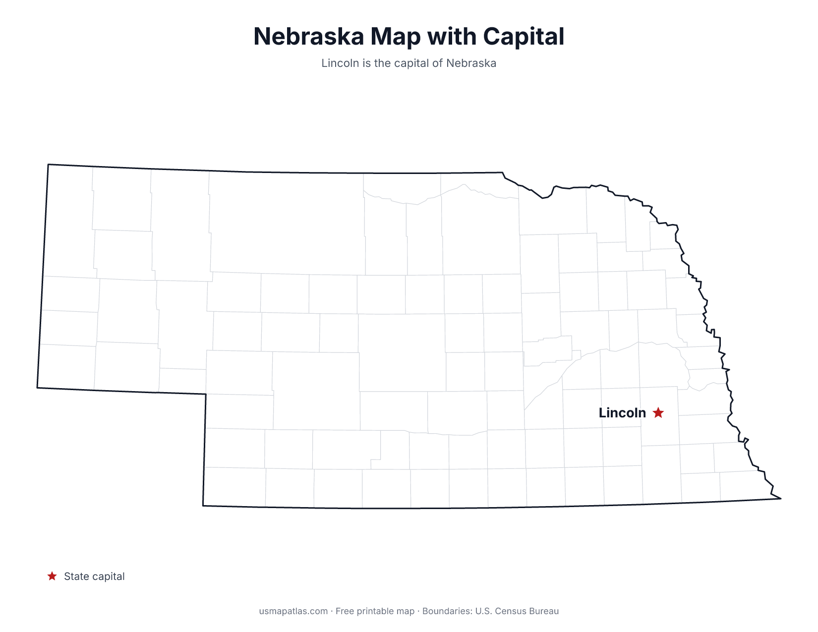
Nebraska worksheets
Free printable worksheets for learning about Nebraska. Each PDF has the worksheet on page 1 and the answer key on page 2.
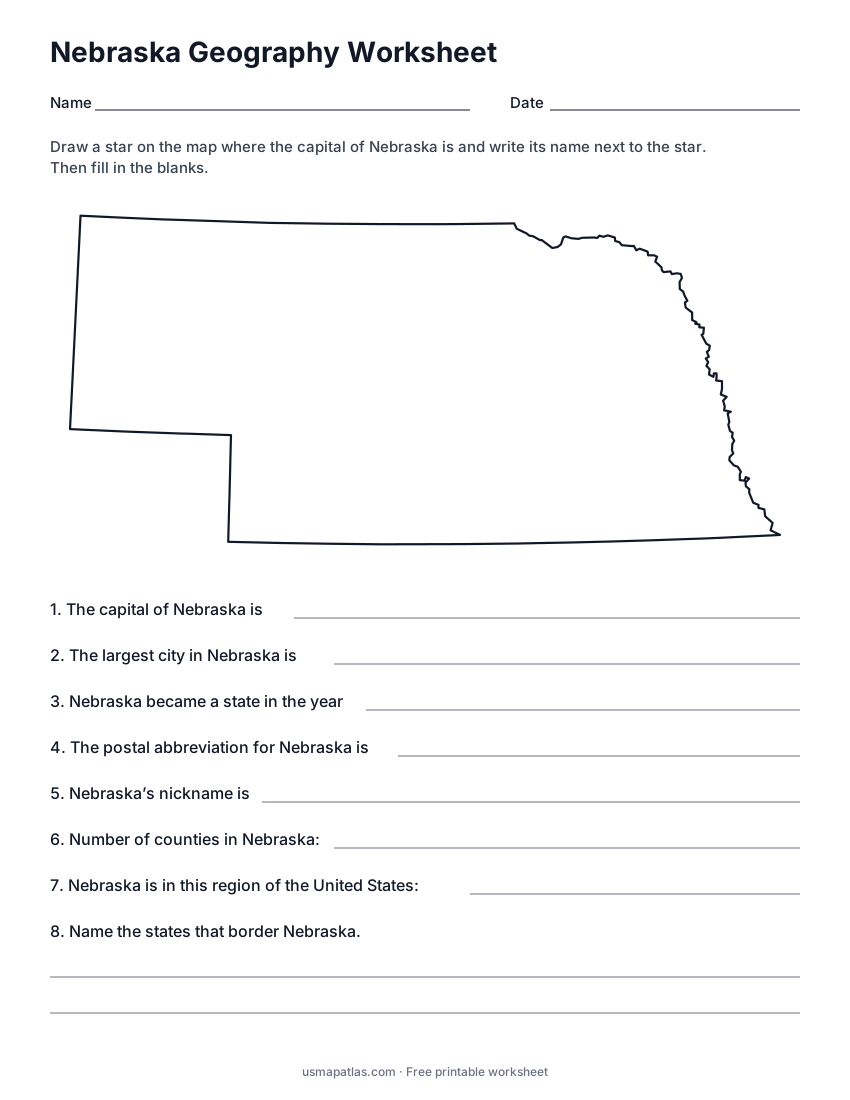
Nebraska Geography Worksheet
2-page PDF: worksheet and answer key
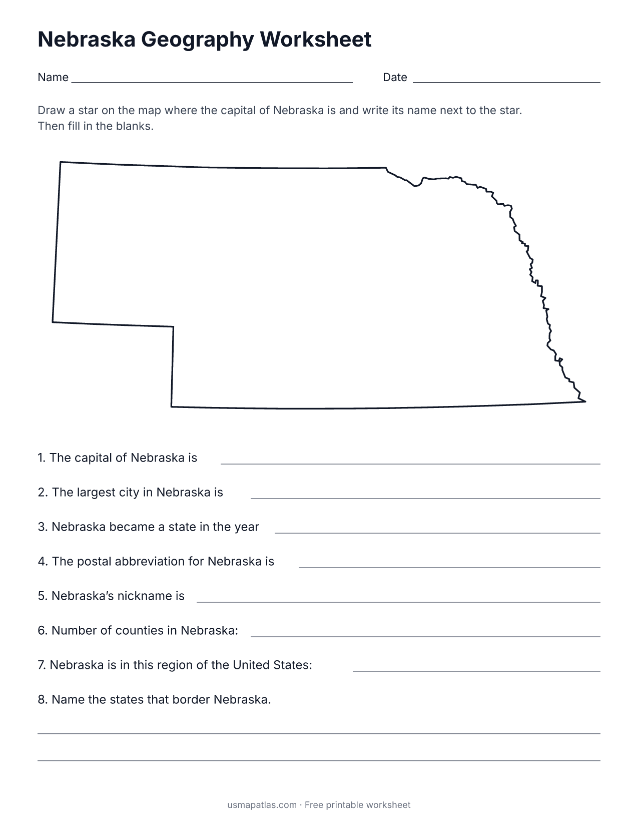
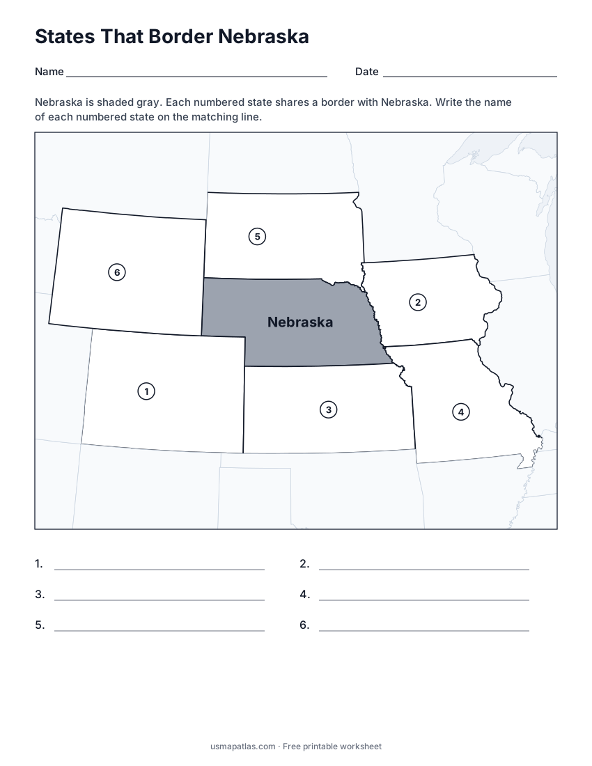
States That Border Nebraska
2-page PDF: worksheet and answer key
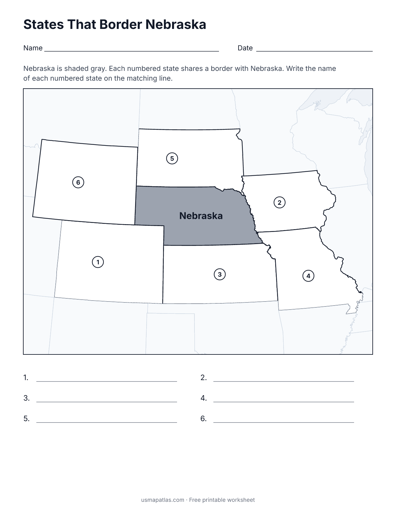
List of Nebraska counties
All 93 counties of Nebraska, in alphabetical order.
- Adams
- Antelope
- Arthur
- Banner
- Blaine
- Boone
- Box Butte
- Boyd
- Brown
- Buffalo
- Burt
- Butler
- Cass
- Cedar
- Chase
- Cherry
- Cheyenne
- Clay
- Colfax
- Cuming
- Custer
- Dakota
- Dawes
- Dawson
- Deuel
- Dixon
- Dodge
- Douglas
- Dundy
- Fillmore
- Franklin
- Frontier
- Furnas
- Gage
- Garden
- Garfield
- Gosper
- Grant
- Greeley
- Hall
- Hamilton
- Harlan
- Hayes
- Hitchcock
- Holt
- Hooker
- Howard
- Jefferson
- Johnson
- Kearney
- Keith
- Keya Paha
- Kimball
- Knox
- Lancaster
- Lincoln
- Logan
- Loup
- Madison
- McPherson
- Merrick
- Morrill
- Nance
- Nemaha
- Nuckolls
- Otoe
- Pawnee
- Perkins
- Phelps
- Pierce
- Platte
- Polk
- Red Willow
- Richardson
- Rock
- Saline
- Sarpy
- Saunders
- Scotts Bluff
- Seward
- Sheridan
- Sherman
- Sioux
- Stanton
- Thayer
- Thomas
- Thurston
- Valley
- Washington
- Wayne
- Webster
- Wheeler
- York
Frequently asked questions
What is the capital of Nebraska?
Lincoln is the capital of Nebraska. The largest city is Omaha.
How many counties are in Nebraska?
Nebraska has 93 counties.
What states border Nebraska?
Nebraska shares a land border with 6 states: Colorado, Iowa, Kansas, Missouri, South Dakota and Wyoming.
When did Nebraska become a state?
Nebraska became a state on March 1, 1867, as the 37th state.