US Regions Coloring Worksheet
Free printable US regions worksheet: color the Northeast, Midwest, South and West on a map, then answer six questions. PDF includes a colored answer key.
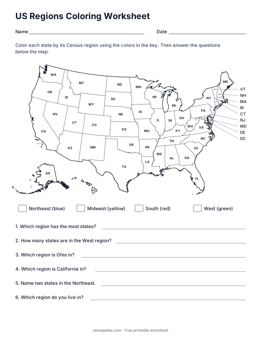
US Regions Coloring Worksheet
2-page PDF: worksheet and answer key
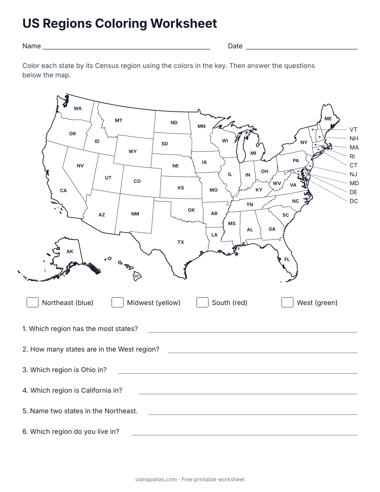
Students color each state by its U.S. Census Bureau region using four colors: blue for the Northeast, yellow for the Midwest, red for the South and green for the West. Every state is labeled with its abbreviation so students can find it.
Six questions under the map check what they learned, from counting the states in a region to naming the region they live in.
Teaching tips
- Have colored pencils ready in the four key colors.
- Use the US regions map as a reference, or hide it for a challenge.
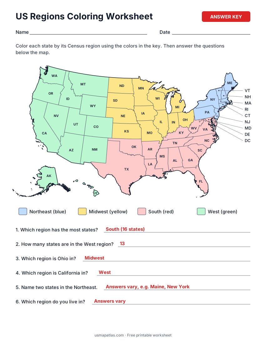
- Page 2 of the PDF has the fully colored map and the answers.
Reference map: US Regions Map
Answer key preview
More worksheets
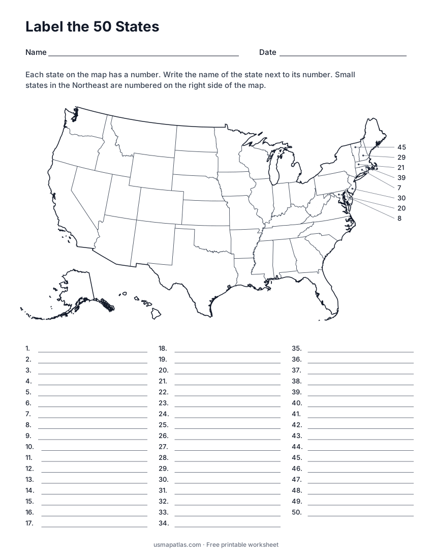
Label the 50 States
2-page PDF: worksheet and answer key
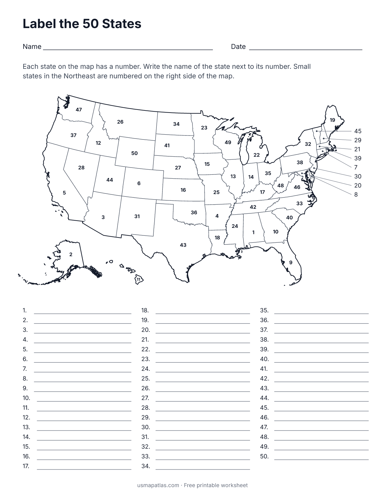
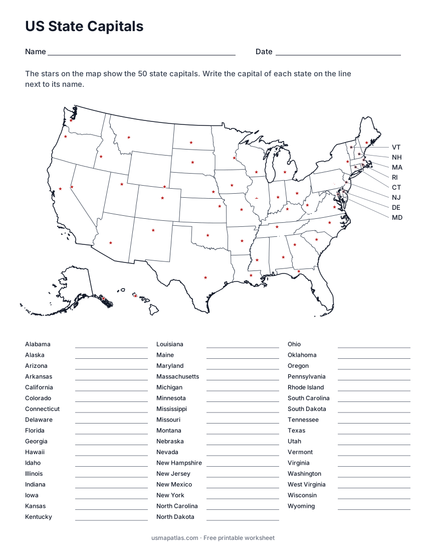
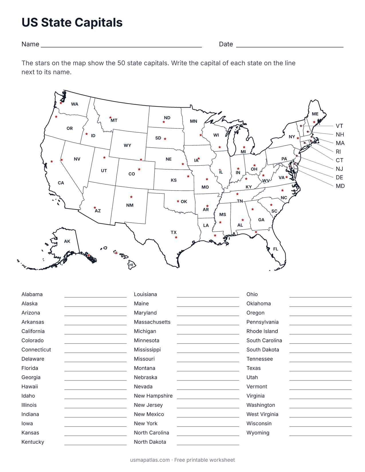
US State Capitals
2-page PDF: worksheet and answer key