US Regions Map
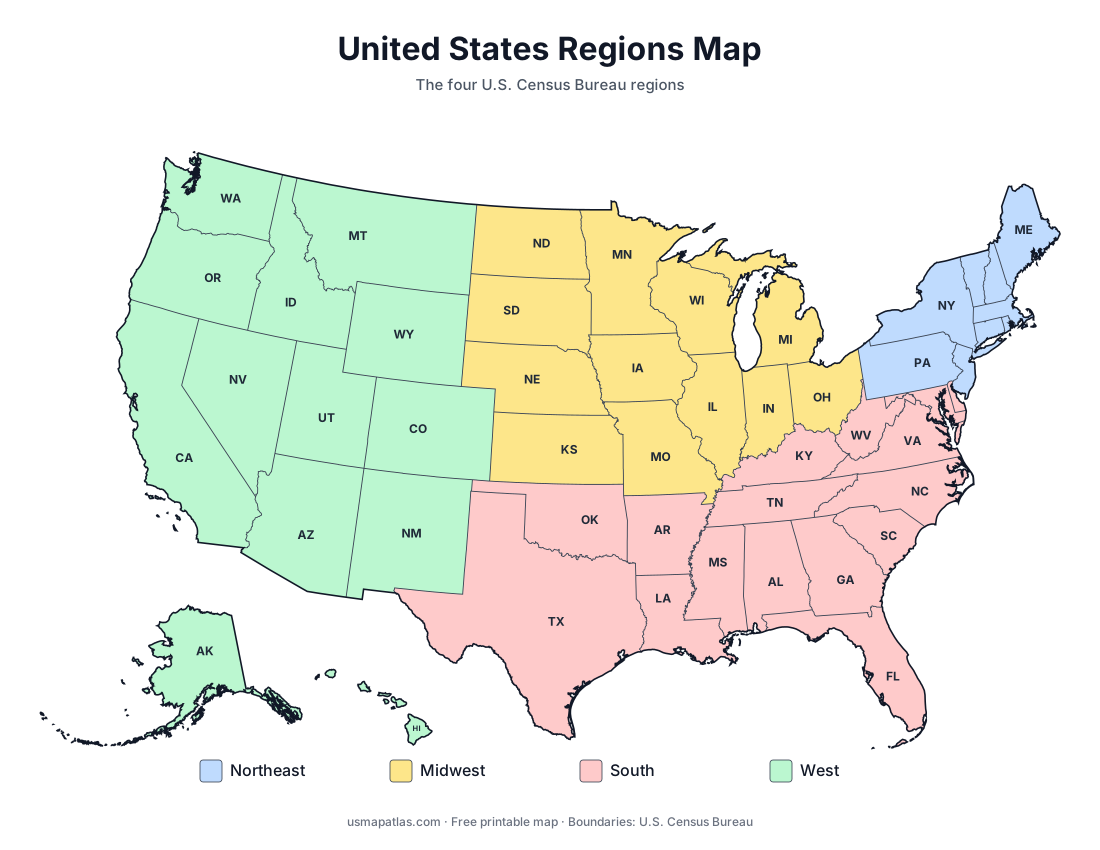
Printable map of the four US Census Bureau regions: Northeast, Midwest, South and West. Free PDF, PNG and SVG, with every state in each region and division.
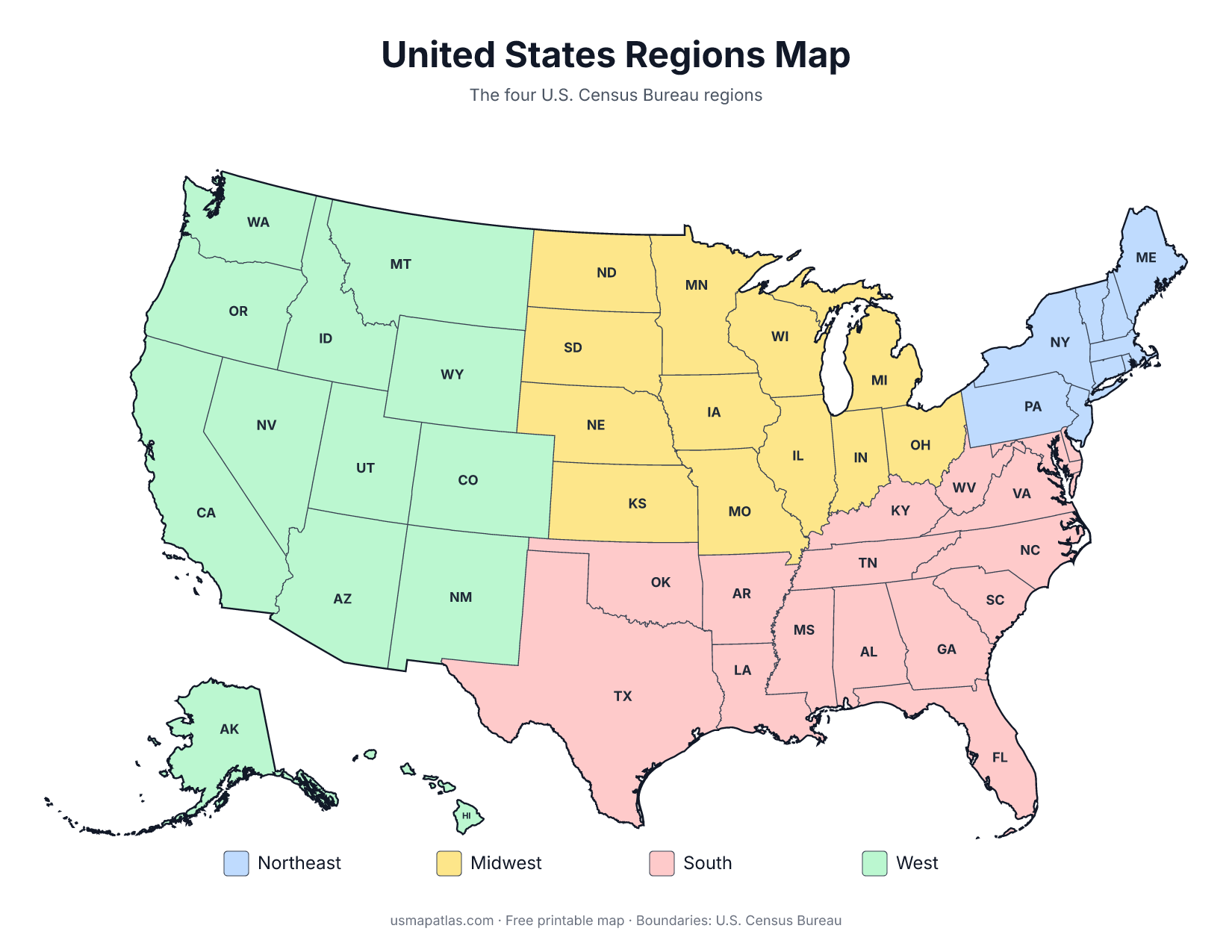
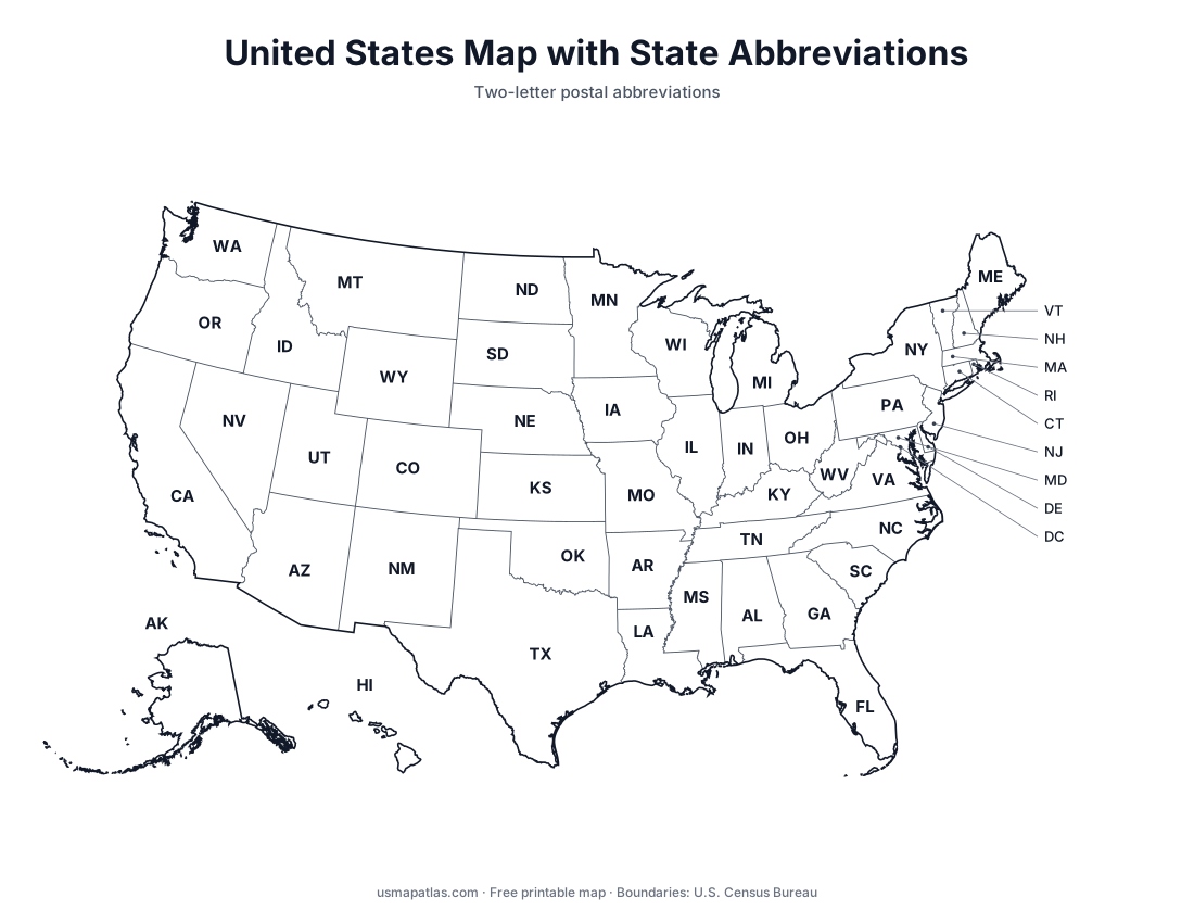
The U.S. Census Bureau groups the states into four regions: the Northeast, the Midwest, the South and the West. Each region is split into smaller divisions, nine in total. This color-coded map shows the four regions, with each state labeled by its abbreviation.
These are the regions most often used in government statistics and in school geography lessons. The lists below show which states belong to each region and division.
Northeast (9 states)
New England
Connecticut, Maine, Massachusetts, New Hampshire, Rhode Island, Vermont
Middle Atlantic
Midwest (12 states)
West North Central
Iowa, Kansas, Minnesota, Missouri, Nebraska, North Dakota, South Dakota
South (16 states)
East South Central
South Atlantic
Delaware, Florida, Georgia, Maryland, North Carolina, South Carolina, Virginia, West Virginia, and Washington, D.C.