Montana Maps
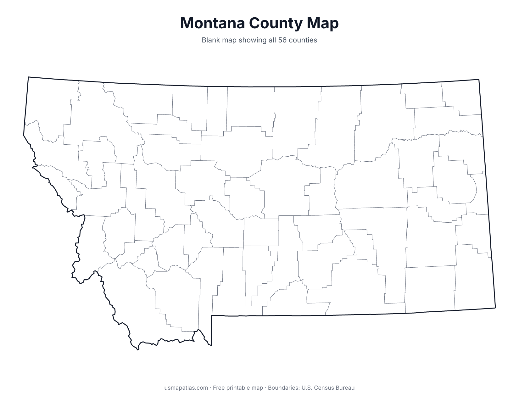
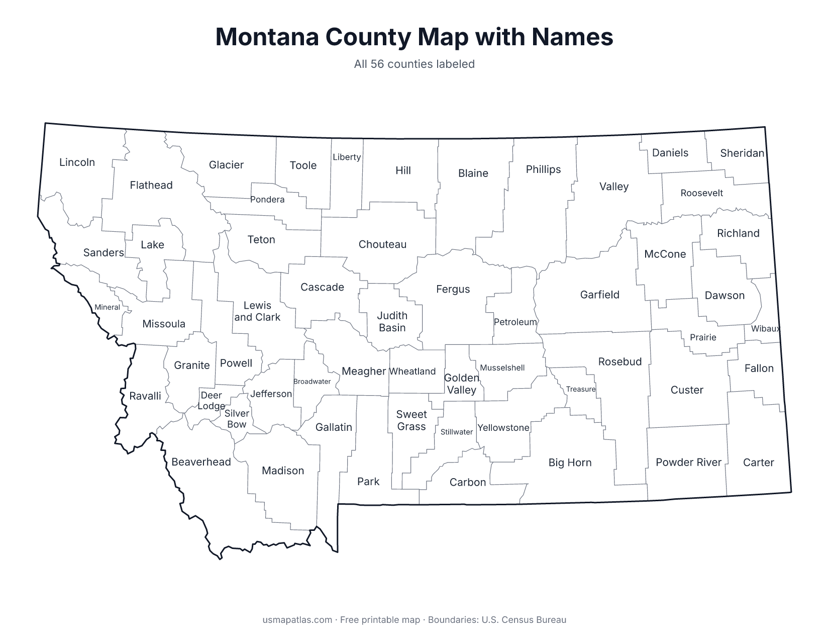
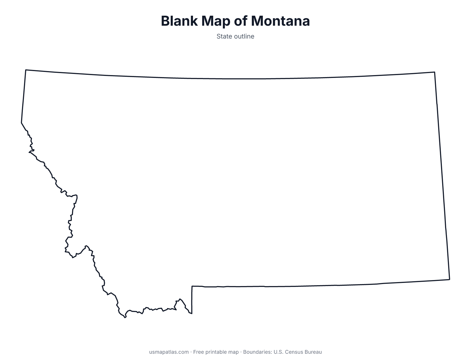
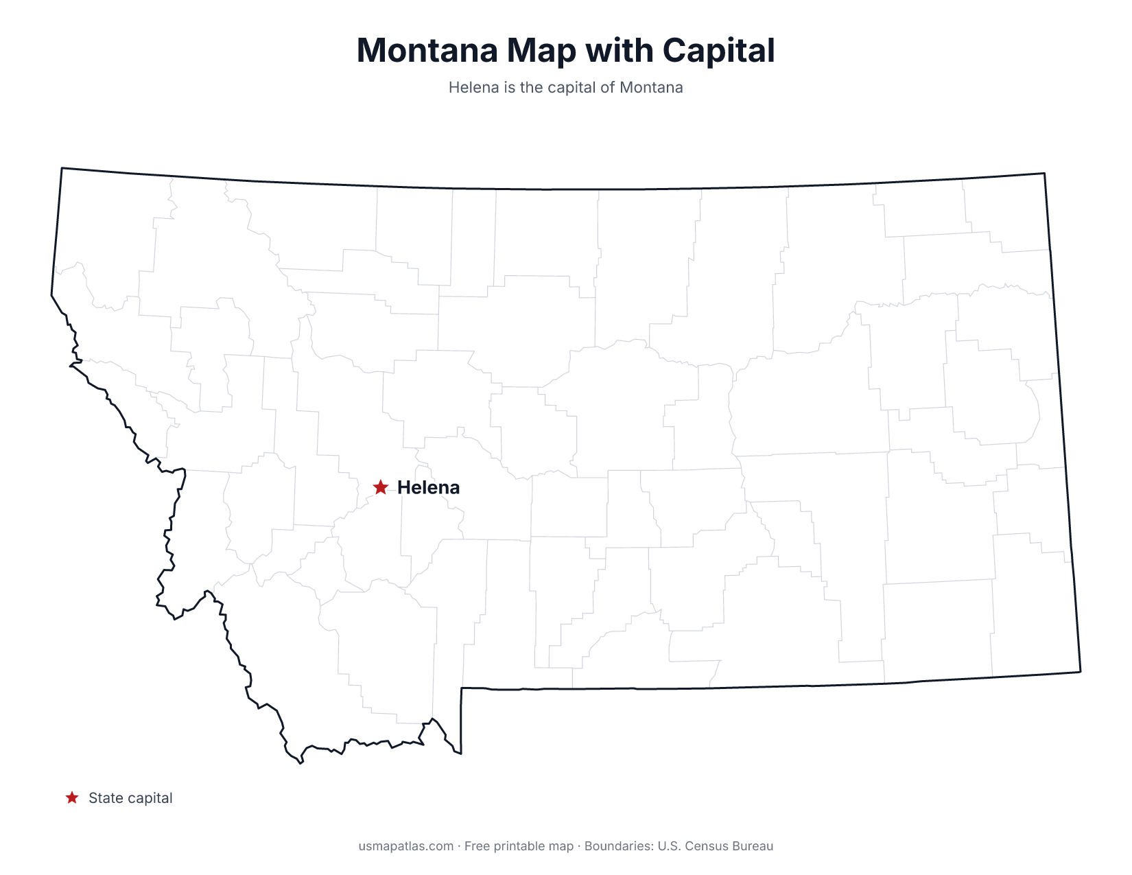
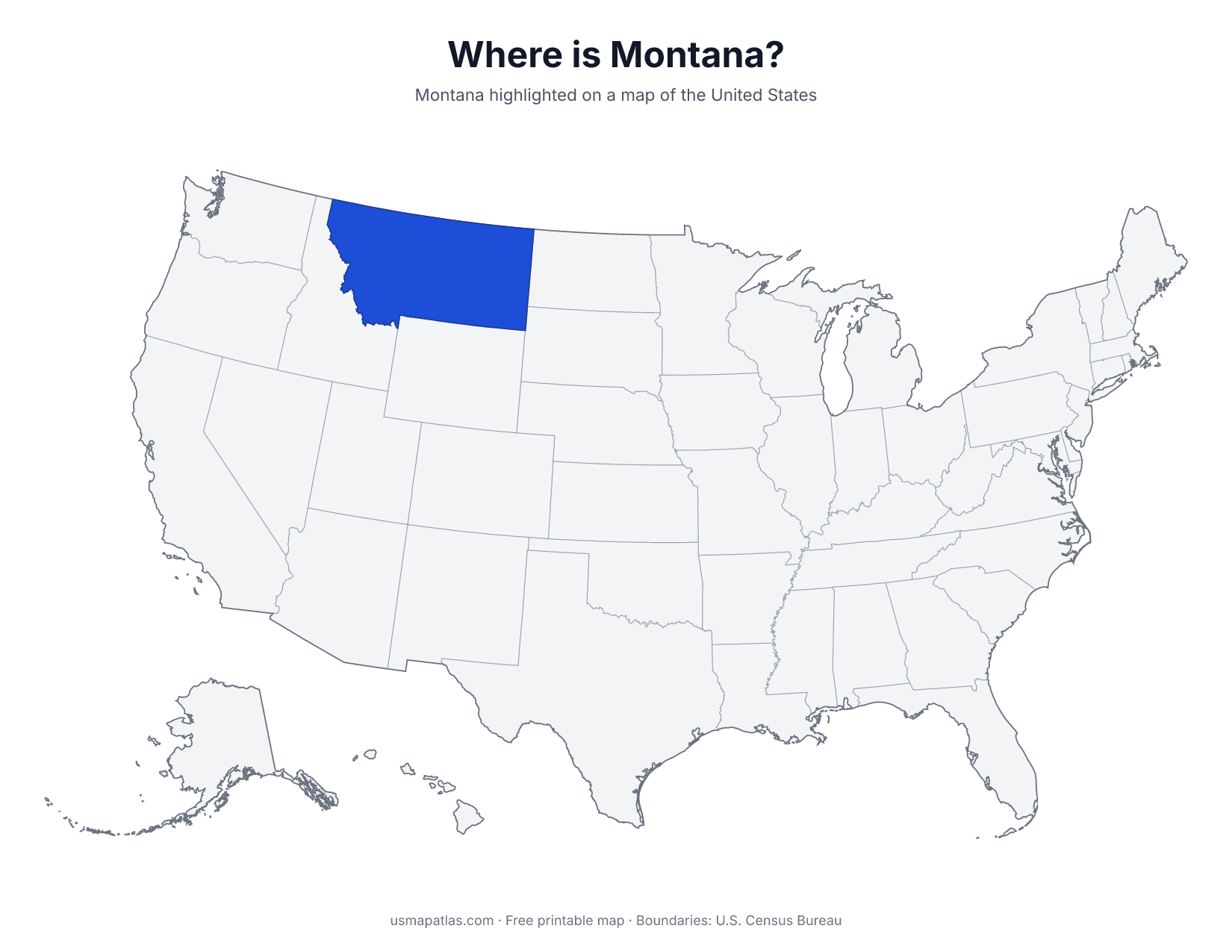
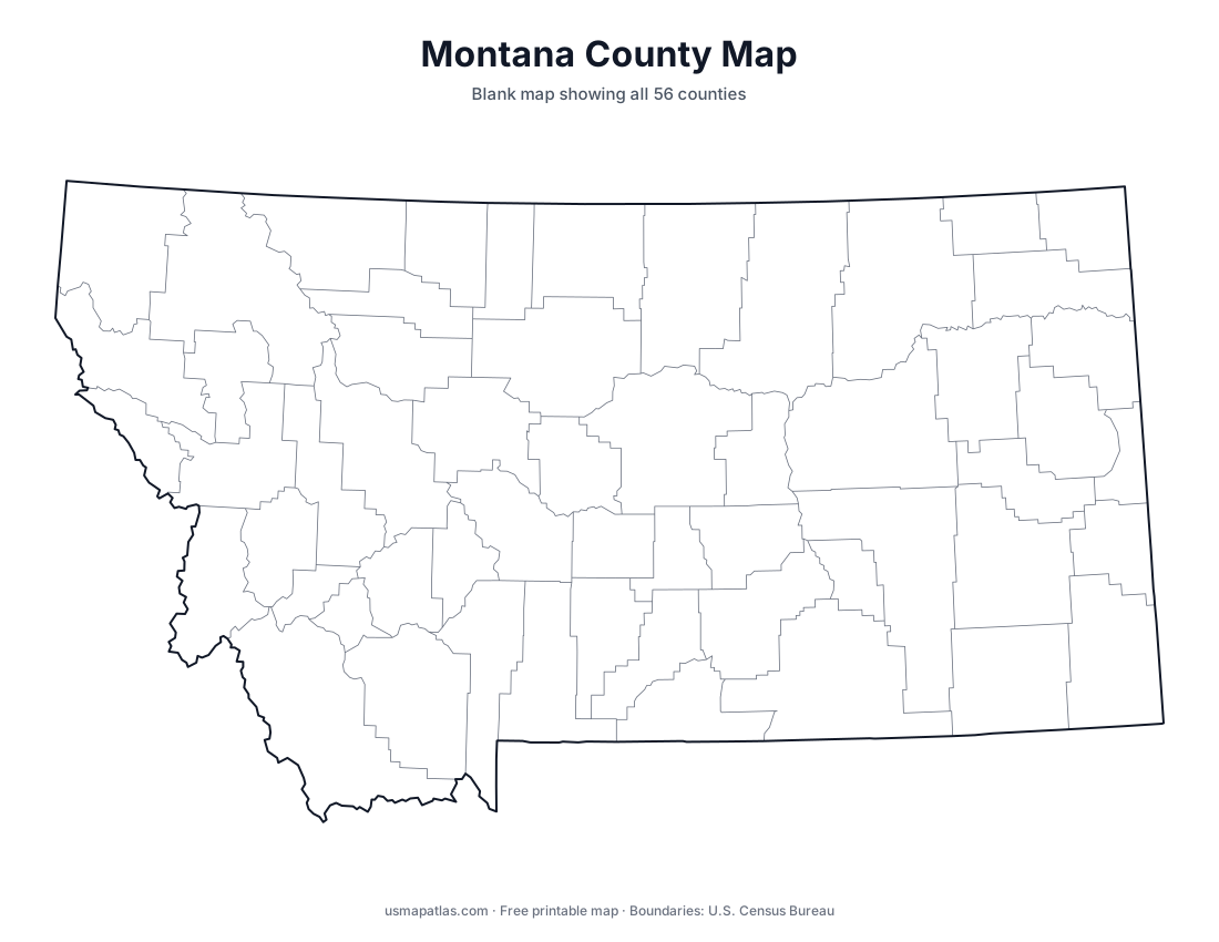
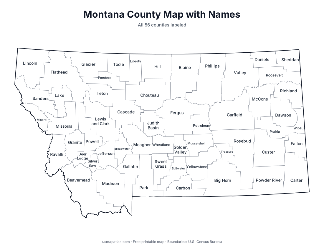
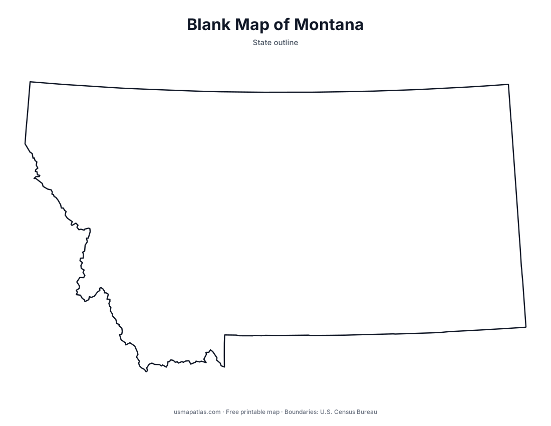
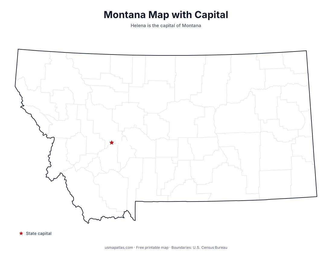
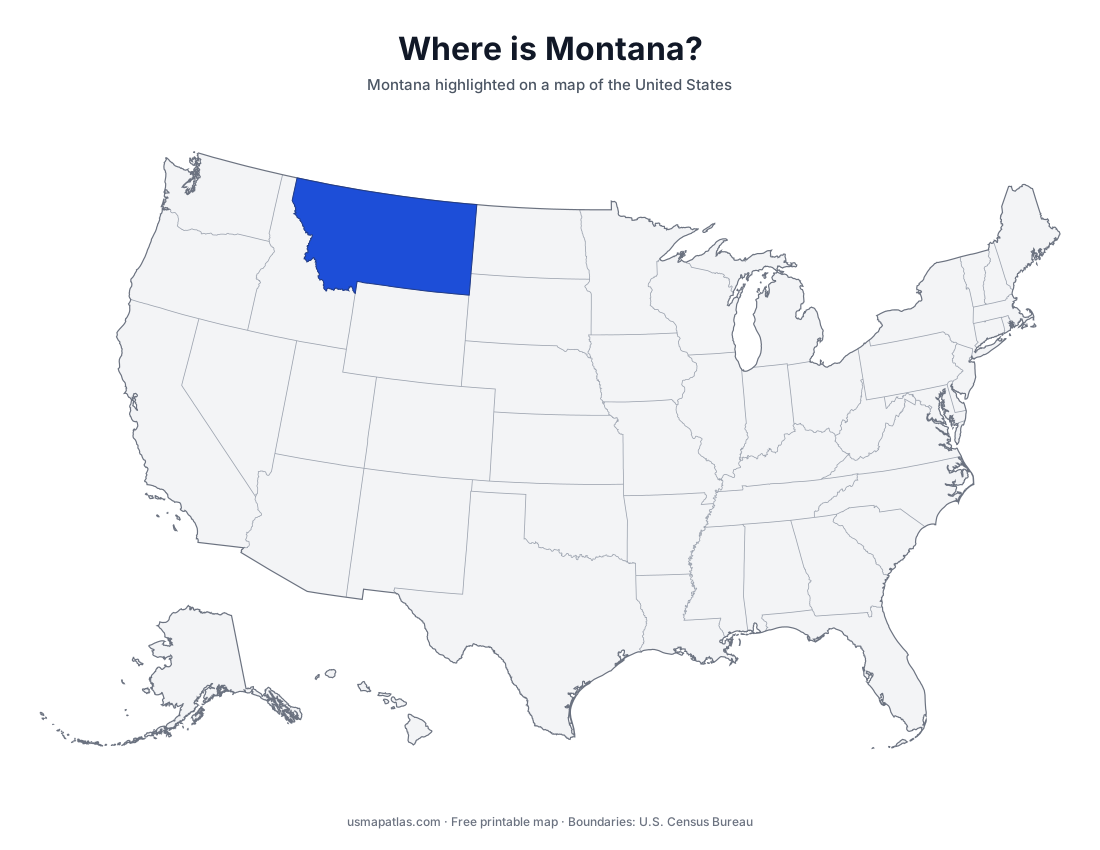
Free printable maps of Montana: a county map with all 56 counties, the same map with every name labeled, a blank outline, a map with the capital and a location map. Download any of them as PDF, PNG or SVG, along with free Montana worksheets.
About Montana
Montana is the fourth-largest state by area. The Rocky Mountains fill its western third, including Glacier National Park on the Canadian border, while the eastern two-thirds belong to the Great Plains. The Continental Divide runs through the west, and the Missouri River forms near Three Forks. A small part of Yellowstone National Park lies in Montana. Helena is the capital, and Billings is the largest city.
More printable maps of Montana
Montana worksheets
Free printable worksheets for learning about Montana. Each PDF has the worksheet on page 1 and the answer key on page 2.
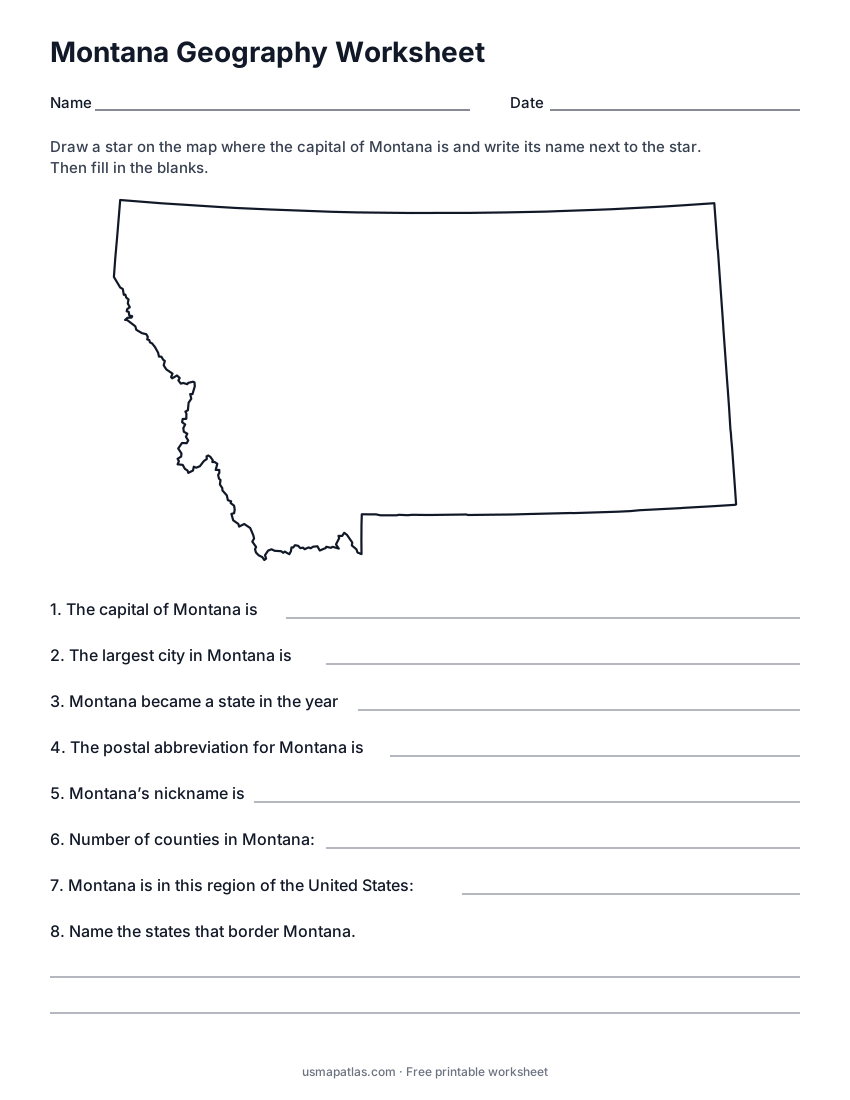
Montana Geography Worksheet
2-page PDF: worksheet and answer key
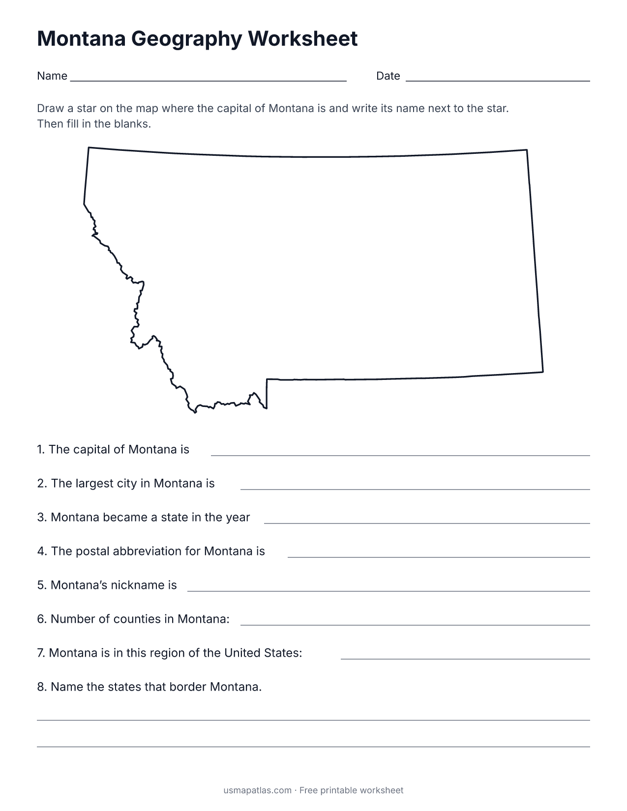
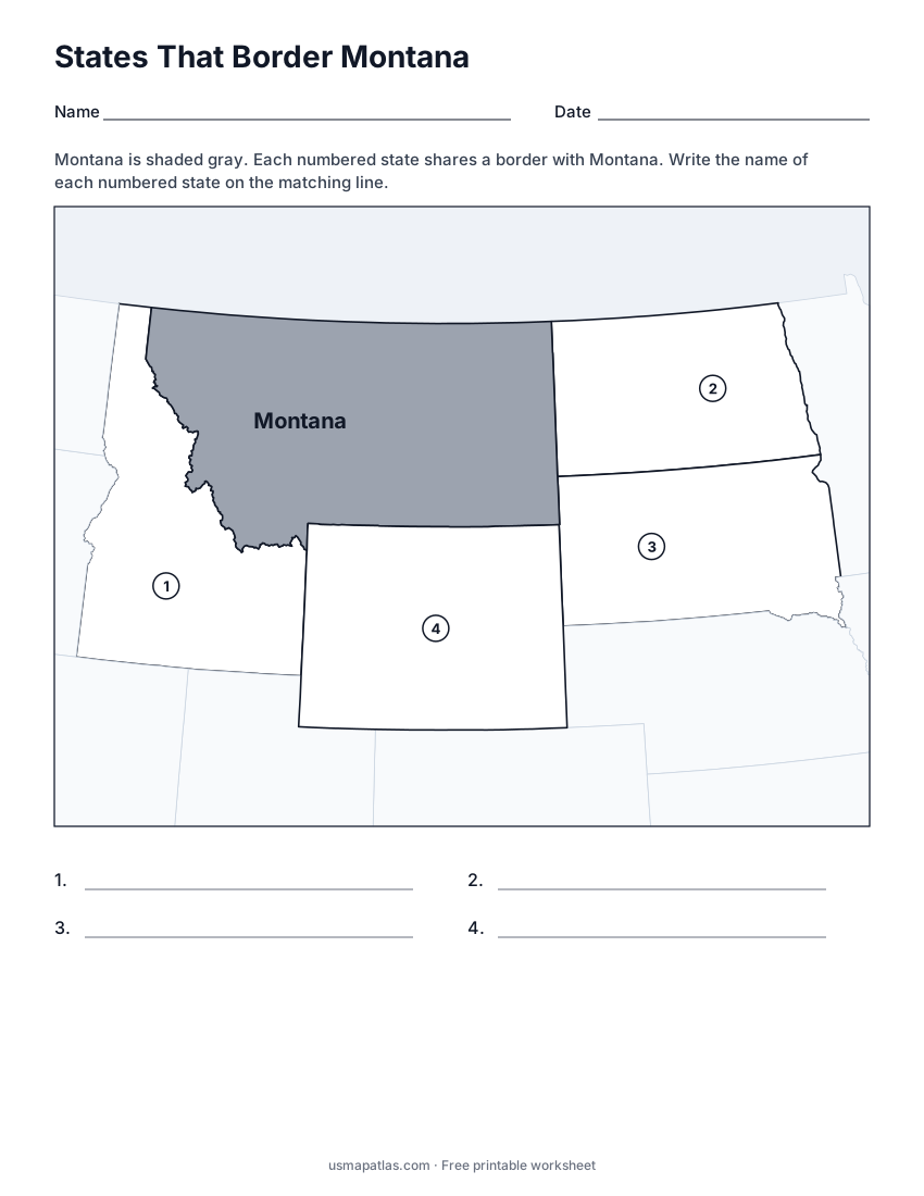
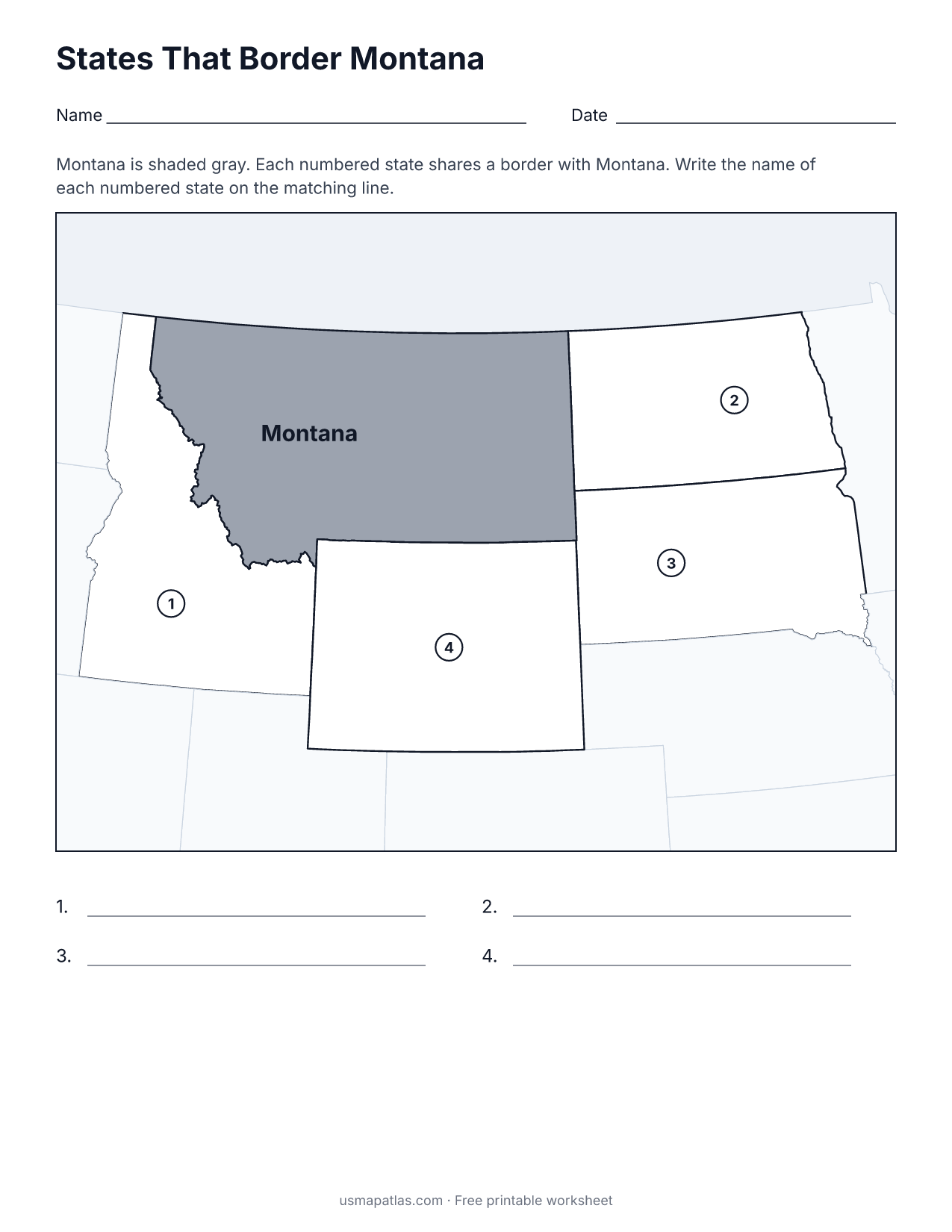
States That Border Montana
2-page PDF: worksheet and answer key
List of Montana counties
All 56 counties of Montana, in alphabetical order.
- Beaverhead
- Big Horn
- Blaine
- Broadwater
- Carbon
- Carter
- Cascade
- Chouteau
- Custer
- Daniels
- Dawson
- Deer Lodge
- Fallon
- Fergus
- Flathead
- Gallatin
- Garfield
- Glacier
- Golden Valley
- Granite
- Hill
- Jefferson
- Judith Basin
- Lake
- Lewis and Clark
- Liberty
- Lincoln
- Madison
- McCone
- Meagher
- Mineral
- Missoula
- Musselshell
- Park
- Petroleum
- Phillips
- Pondera
- Powder River
- Powell
- Prairie
- Ravalli
- Richland
- Roosevelt
- Rosebud
- Sanders
- Sheridan
- Silver Bow
- Stillwater
- Sweet Grass
- Teton
- Toole
- Treasure
- Valley
- Wheatland
- Wibaux
- Yellowstone
Frequently asked questions
What is the capital of Montana?
Helena is the capital of Montana. The largest city is Billings.
How many counties are in Montana?
Montana has 56 counties.
What states border Montana?
Montana shares a land border with 4 states: Idaho, North Dakota, South Dakota and Wyoming.
When did Montana become a state?
Montana became a state on November 8, 1889, as the 41st state.