Colorado Maps
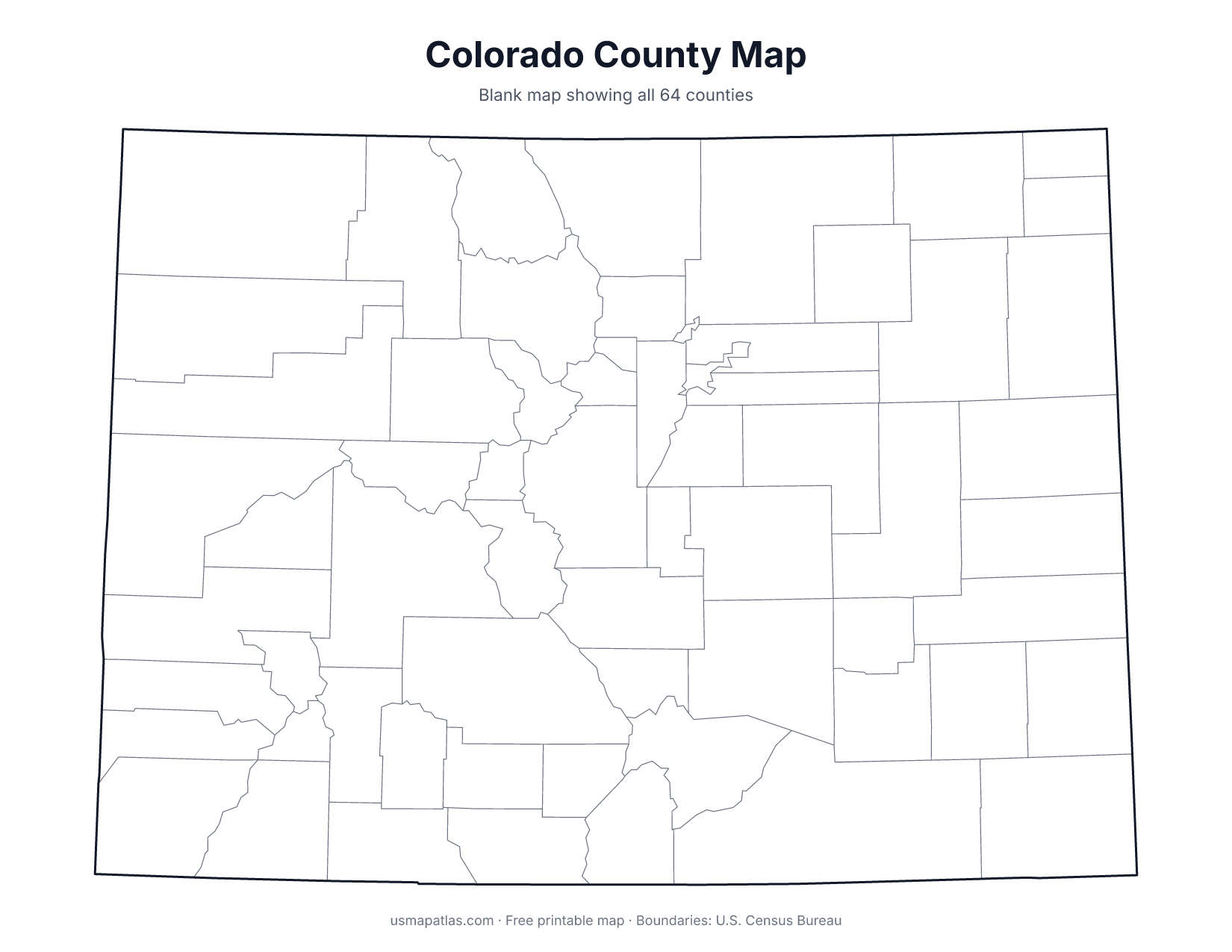
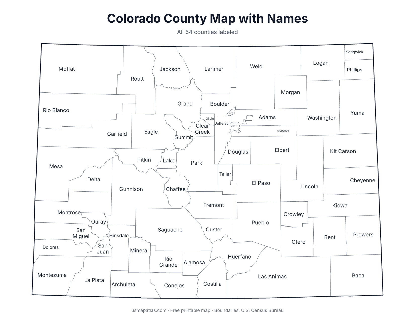
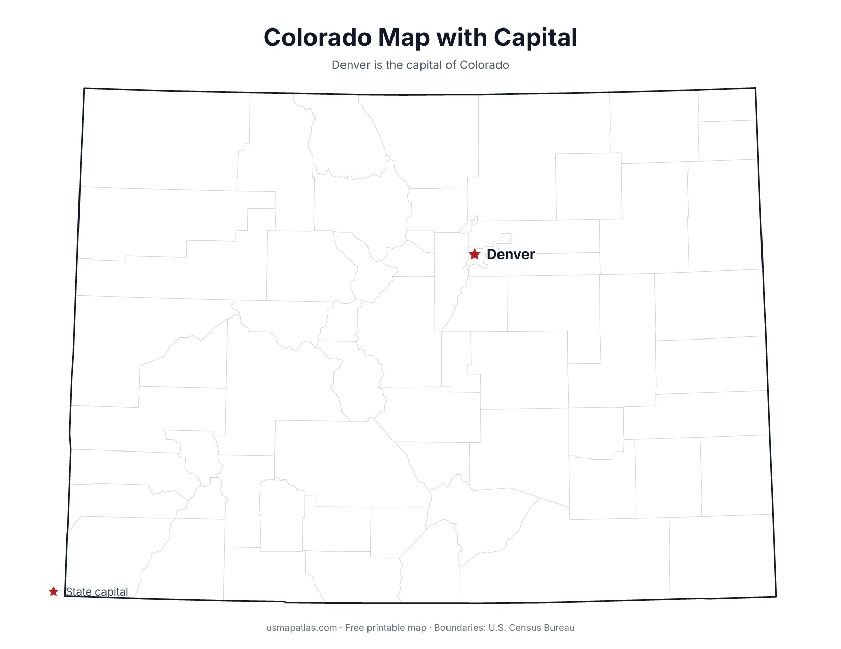
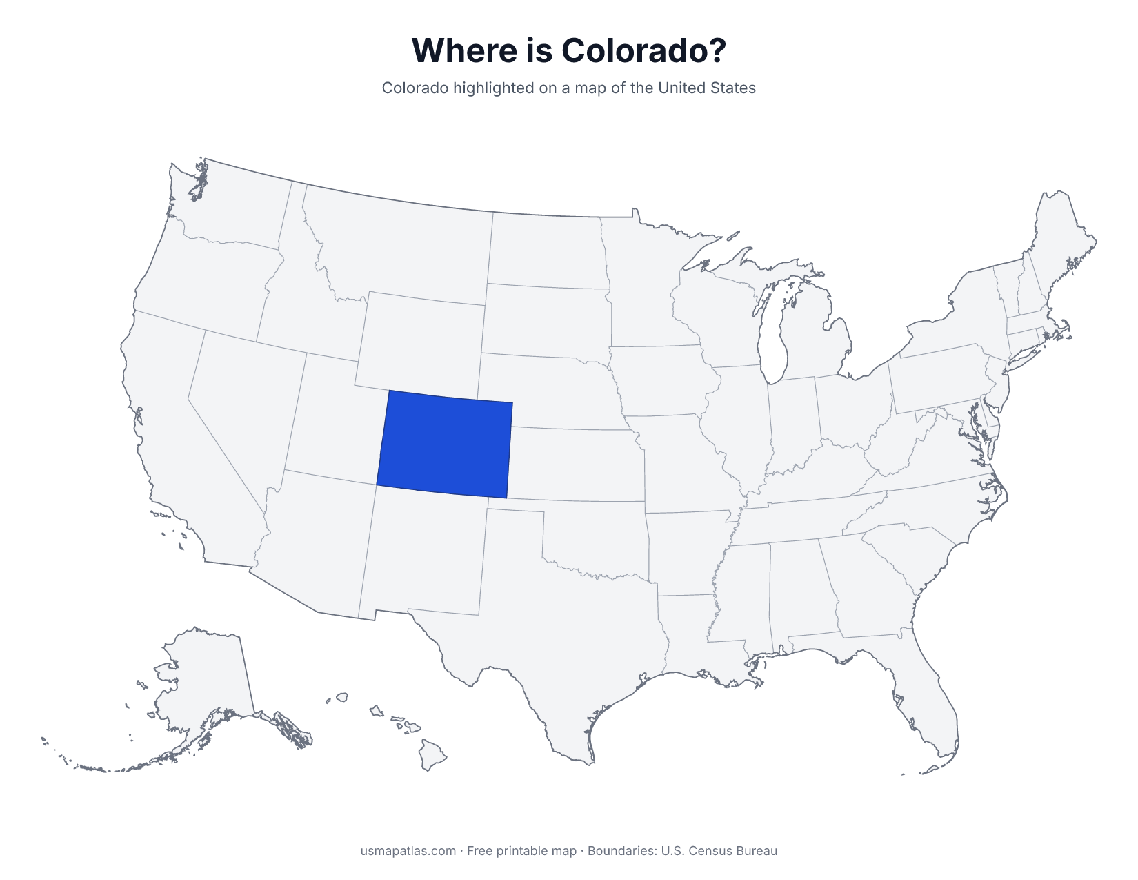
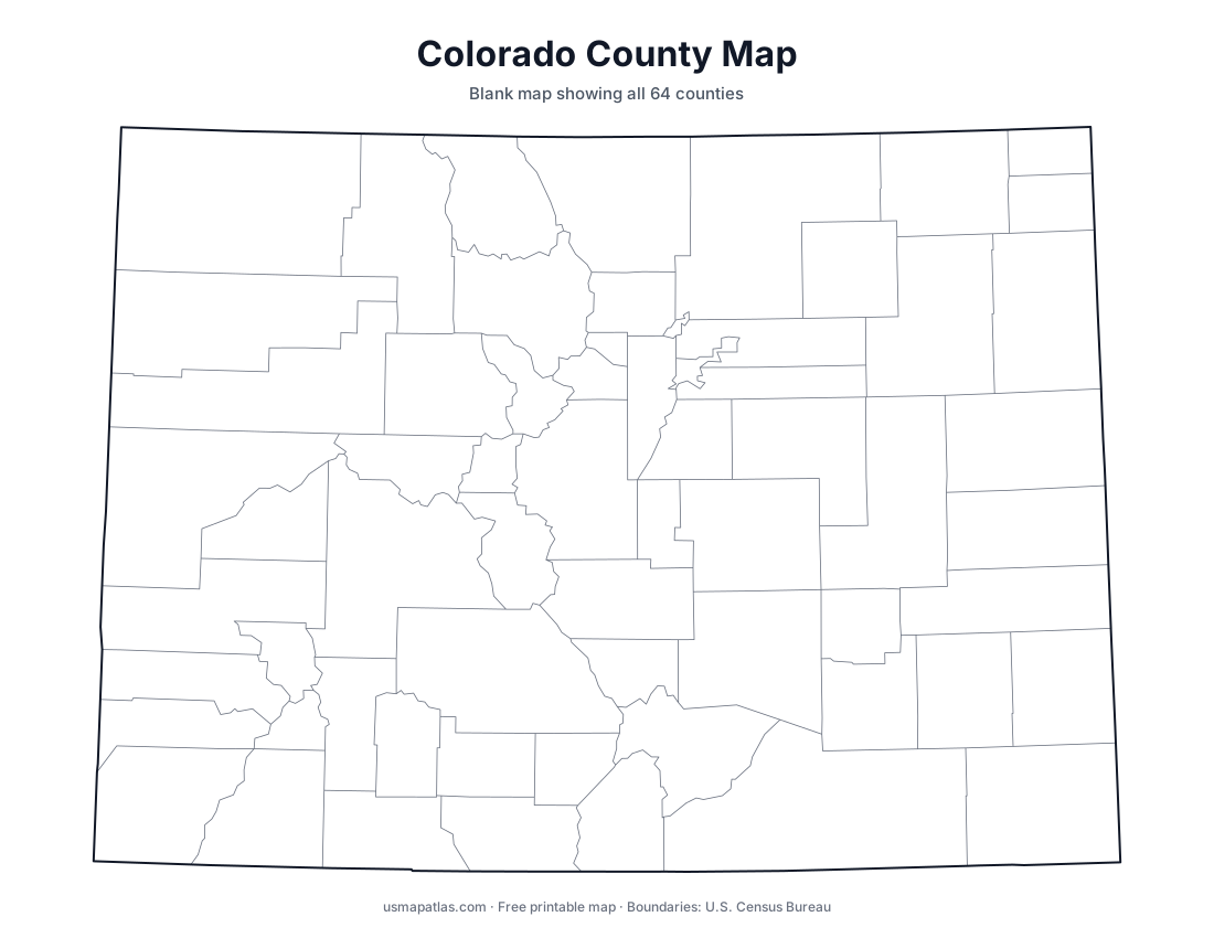
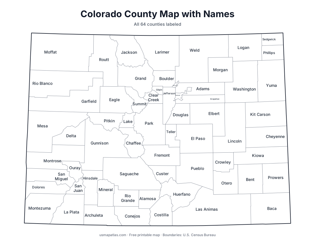
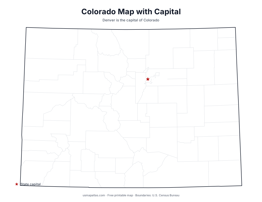
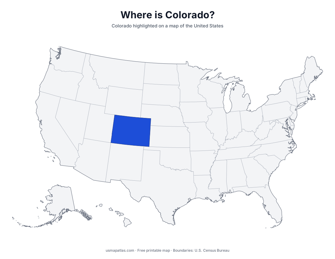
Free printable maps of Colorado: a county map with all 64 counties, the same map with every name labeled, a blank outline, a map with the capital and a location map. Download any of them as PDF, PNG or SVG, along with free Colorado worksheets.
About Colorado
Colorado is a nearly rectangular state in the Mountain West. The Rocky Mountains cover its central and western parts, with more than 50 peaks above 14,000 feet; Mount Elbert is the highest at 14,440 feet. East of the mountains the land flattens into the Great Plains. Most people live along the Front Range, the urban strip running from Fort Collins through Denver to Colorado Springs and Pueblo. The Colorado River begins in the state's high country. Denver is the capital and the largest city.
More printable maps of Colorado
Colorado worksheets
Free printable worksheets for learning about Colorado. Each PDF has the worksheet on page 1 and the answer key on page 2.
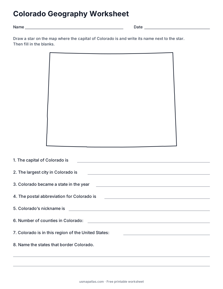
Colorado Geography Worksheet
2-page PDF: worksheet and answer key
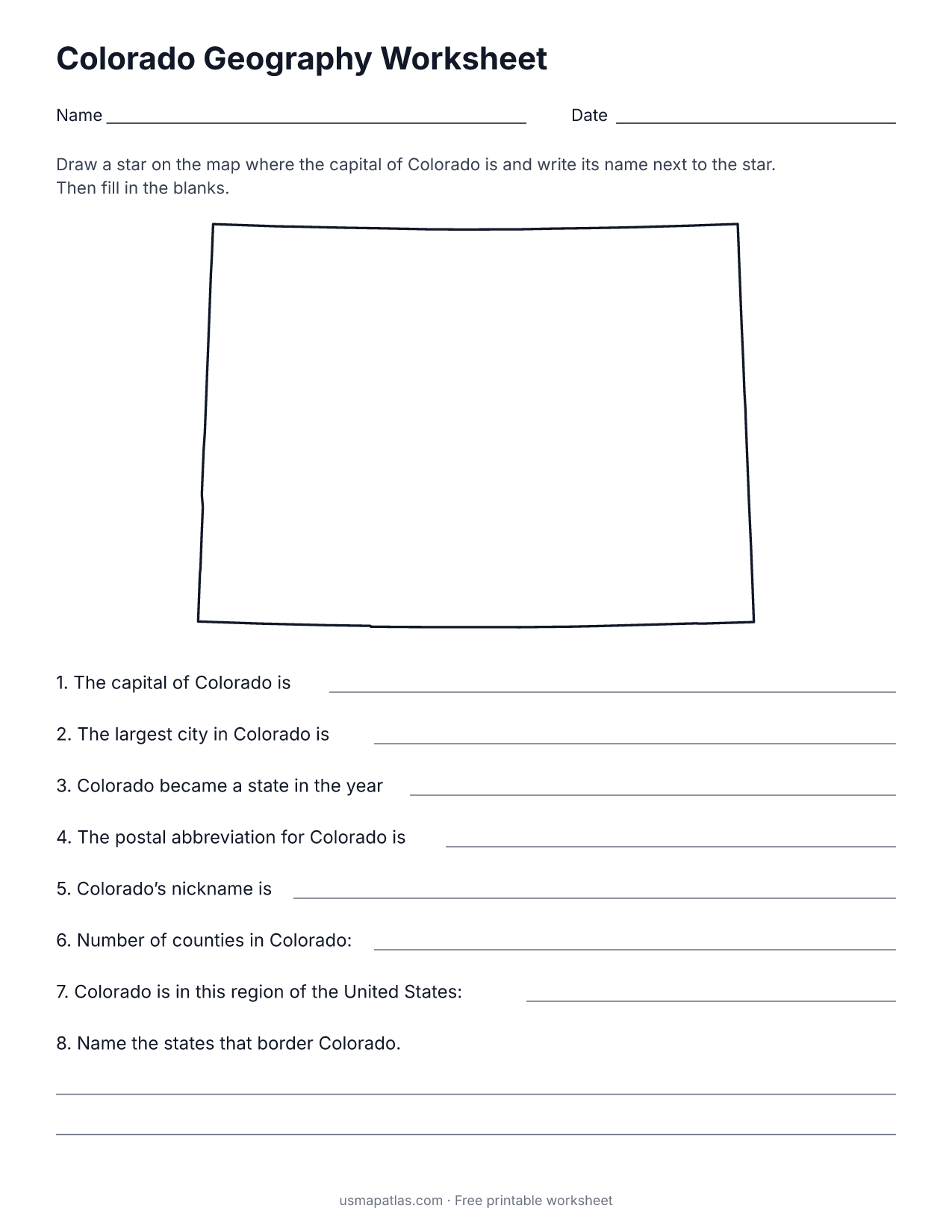
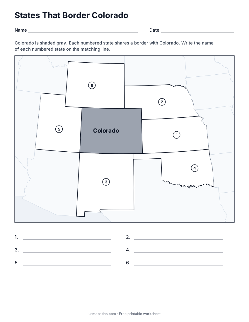
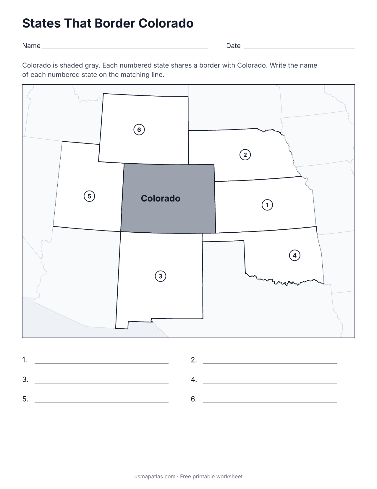
States That Border Colorado
2-page PDF: worksheet and answer key
List of Colorado counties
All 64 counties of Colorado, in alphabetical order.
- Adams
- Alamosa
- Arapahoe
- Archuleta
- Baca
- Bent
- Boulder
- Broomfield
- Chaffee
- Cheyenne
- Clear Creek
- Conejos
- Costilla
- Crowley
- Custer
- Delta
- Denver
- Dolores
- Douglas
- Eagle
- El Paso
- Elbert
- Fremont
- Garfield
- Gilpin
- Grand
- Gunnison
- Hinsdale
- Huerfano
- Jackson
- Jefferson
- Kiowa
- Kit Carson
- La Plata
- Lake
- Larimer
- Las Animas
- Lincoln
- Logan
- Mesa
- Mineral
- Moffat
- Montezuma
- Montrose
- Morgan
- Otero
- Ouray
- Park
- Phillips
- Pitkin
- Prowers
- Pueblo
- Rio Blanco
- Rio Grande
- Routt
- Saguache
- San Juan
- San Miguel
- Sedgwick
- Summit
- Teller
- Washington
- Weld
- Yuma
Frequently asked questions
What is the capital of Colorado?
Denver is the capital of Colorado. It is also the state’s largest city.
How many counties are in Colorado?
Colorado has 64 counties.
What states border Colorado?
Colorado shares a land border with 6 states: Kansas, Nebraska, New Mexico, Oklahoma, Utah and Wyoming.
When did Colorado become a state?
Colorado became a state on August 1, 1876, as the 38th state.