New Mexico Maps
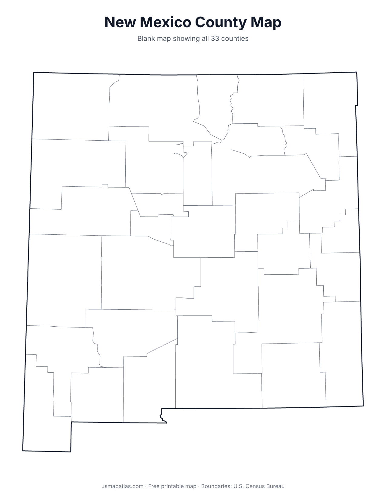
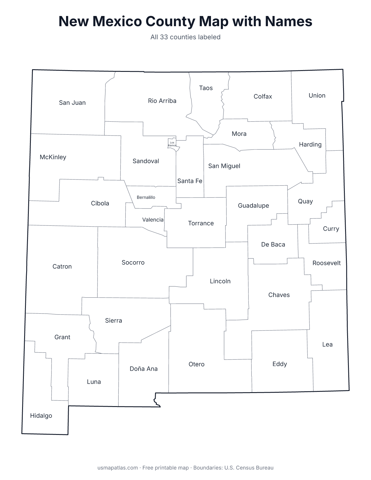
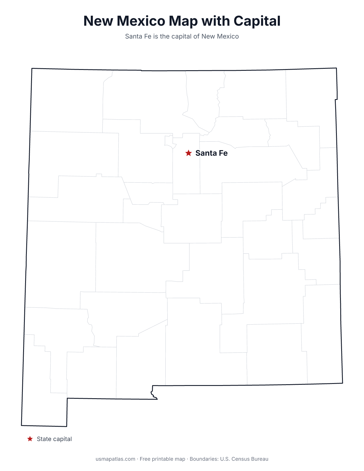
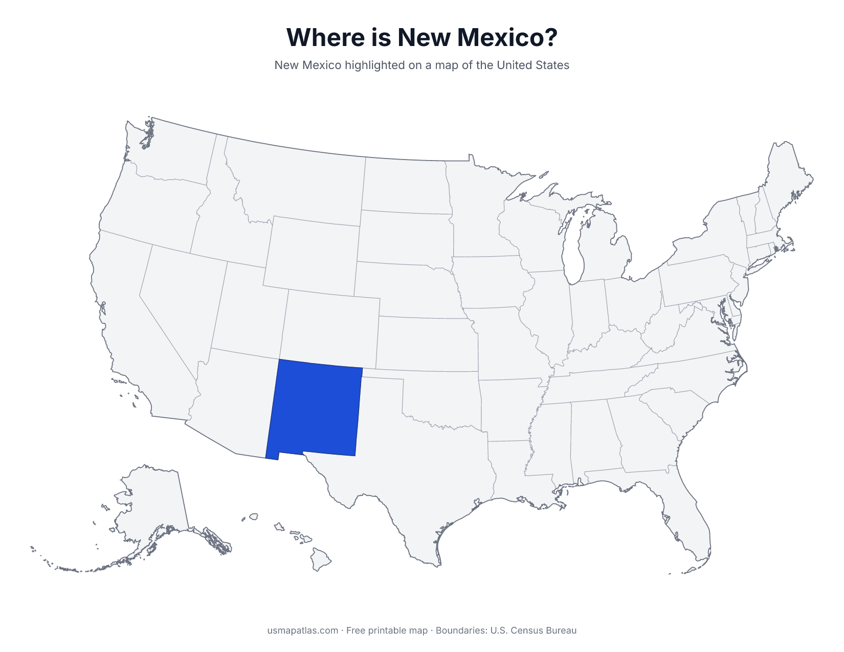
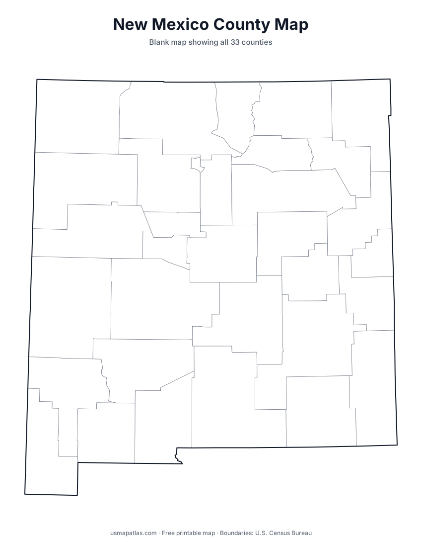
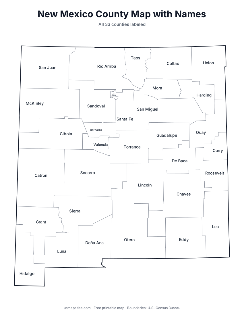
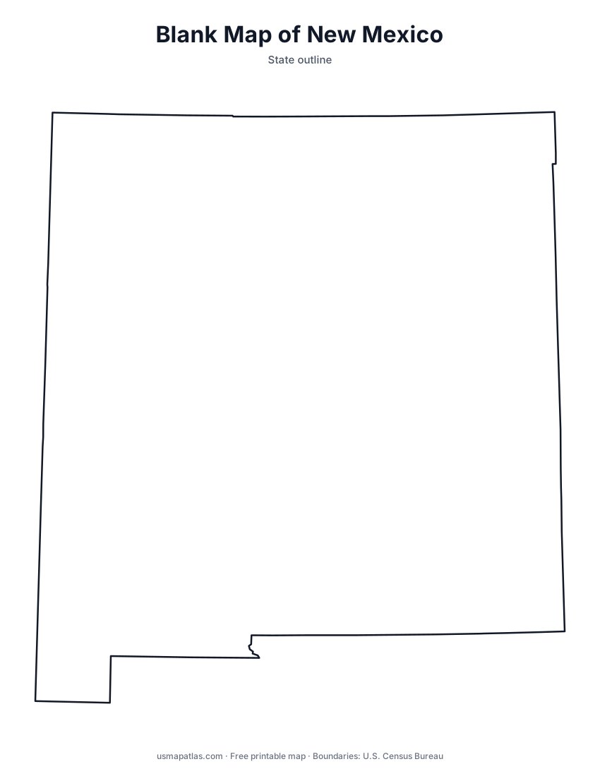
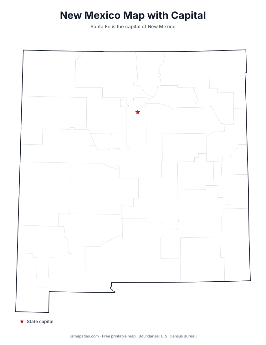
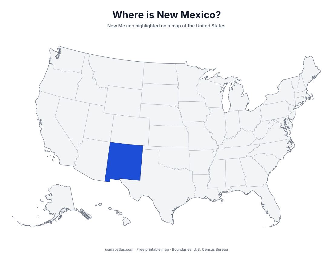
Free printable maps of New Mexico: a county map with all 33 counties, the same map with every name labeled, a blank outline, a map with the capital and a location map. Download any of them as PDF, PNG or SVG, along with free New Mexico worksheets.
About New Mexico
New Mexico is the fifth-largest state by area. The Rio Grande runs through the middle of the state from north to south, past Albuquerque and Las Cruces. The Sangre de Cristo Mountains, the southern end of the Rockies, reach into the north, where Wheeler Peak is the highest point. The east belongs to the Great Plains, and the south includes the Chihuahuan Desert, White Sands and Carlsbad Caverns. Santa Fe is the highest state capital in the country, and Albuquerque is the largest city.
More printable maps of New Mexico
New Mexico worksheets
Free printable worksheets for learning about New Mexico. Each PDF has the worksheet on page 1 and the answer key on page 2.
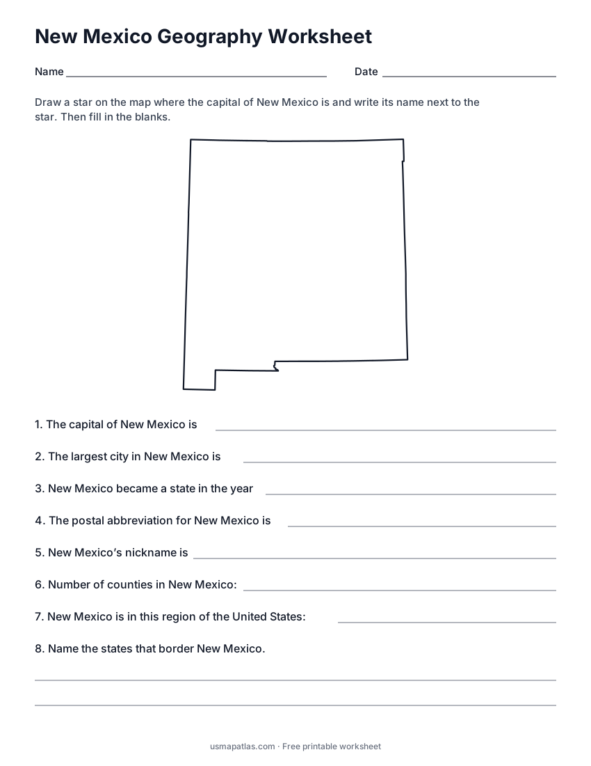
New Mexico Geography Worksheet
2-page PDF: worksheet and answer key
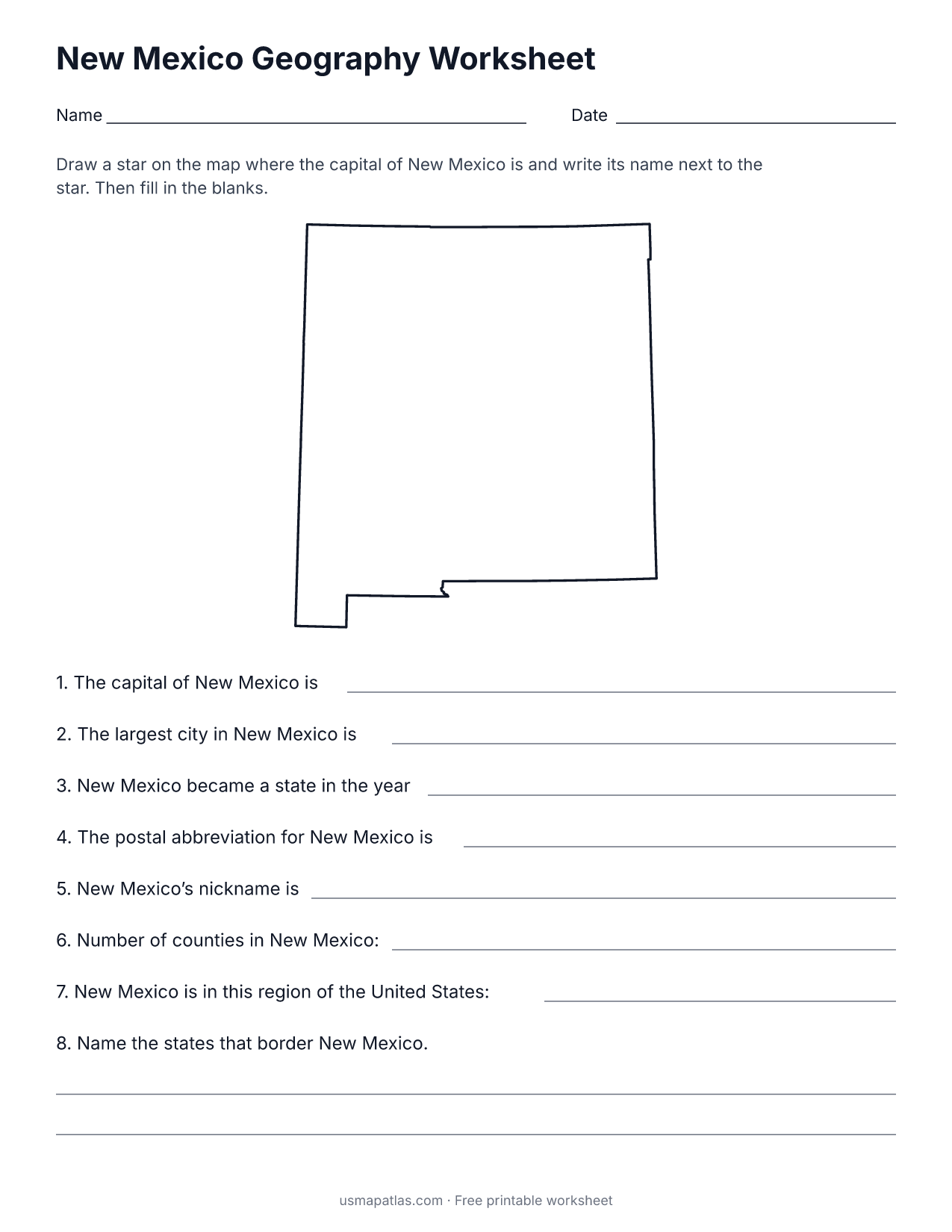
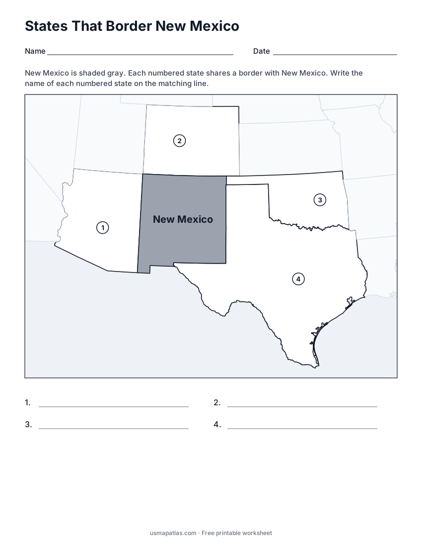
States That Border New Mexico
2-page PDF: worksheet and answer key
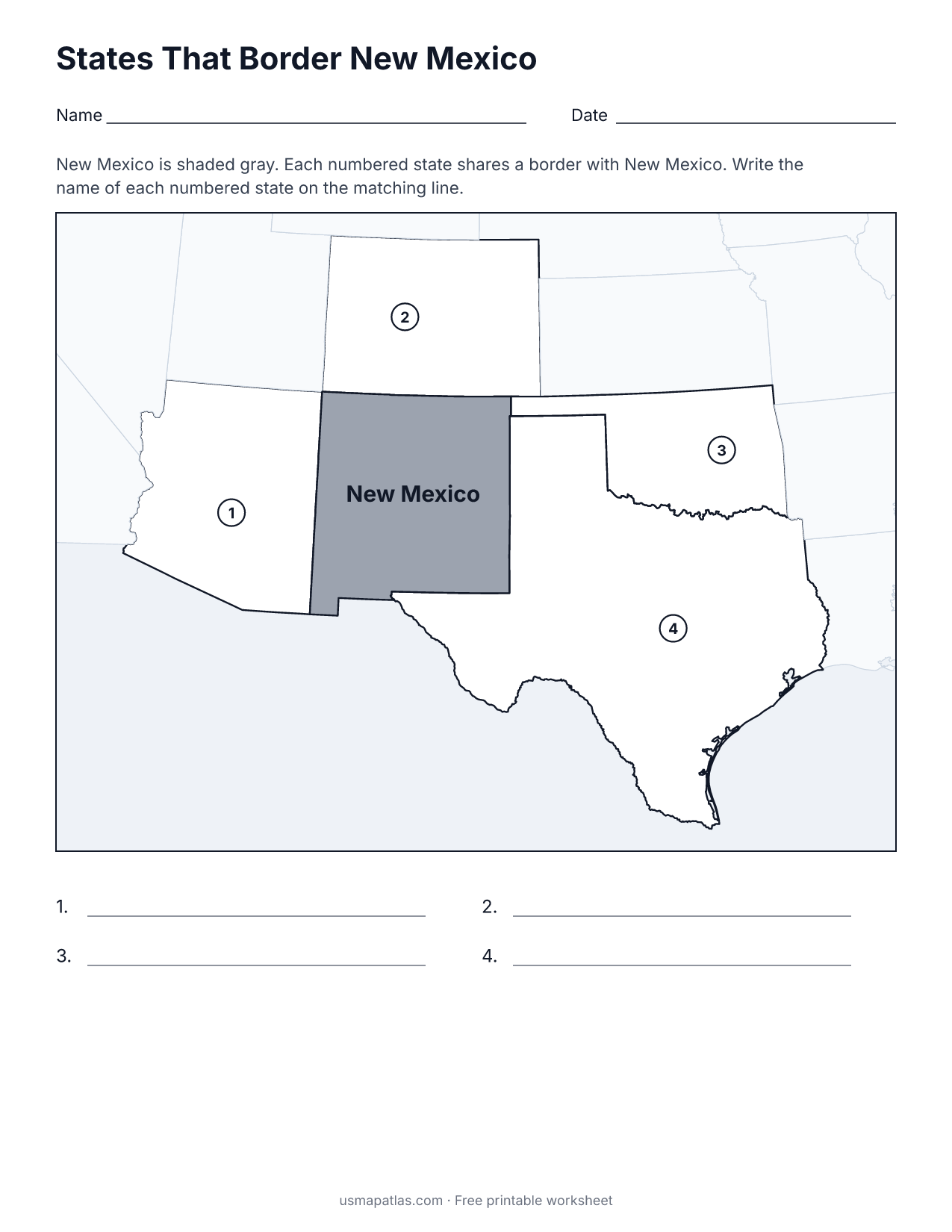
List of New Mexico counties
All 33 counties of New Mexico, in alphabetical order.
- Bernalillo
- Catron
- Chaves
- Cibola
- Colfax
- Curry
- De Baca
- Doña Ana
- Eddy
- Grant
- Guadalupe
- Harding
- Hidalgo
- Lea
- Lincoln
- Los Alamos
- Luna
- McKinley
- Mora
- Otero
- Quay
- Rio Arriba
- Roosevelt
- San Juan
- San Miguel
- Sandoval
- Santa Fe
- Sierra
- Socorro
- Taos
- Torrance
- Union
- Valencia
Frequently asked questions
What is the capital of New Mexico?
Santa Fe is the capital of New Mexico. The largest city is Albuquerque.
How many counties are in New Mexico?
New Mexico has 33 counties.
What states border New Mexico?
New Mexico shares a land border with 4 states: Arizona, Colorado, Oklahoma and Texas.
When did New Mexico become a state?
New Mexico became a state on January 6, 1912, as the 47th state.