Maryland Maps
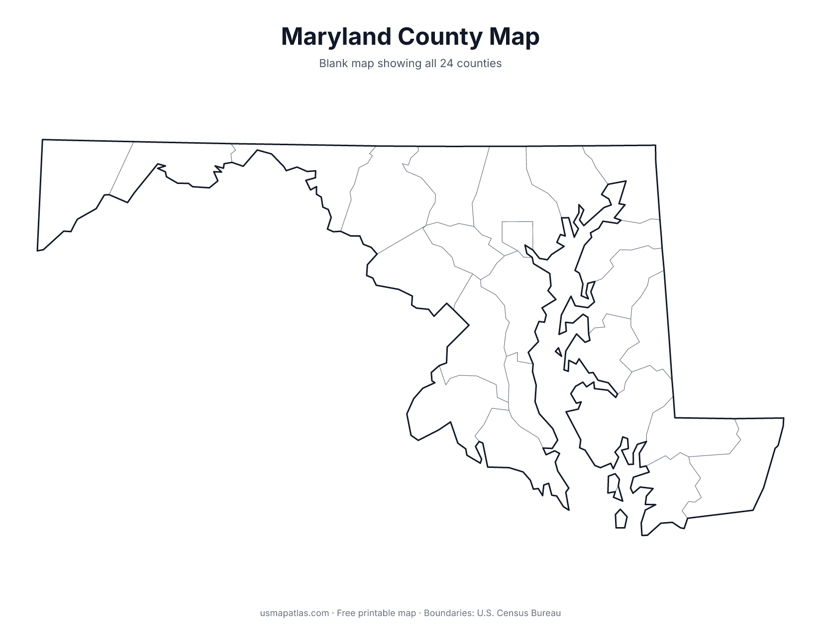
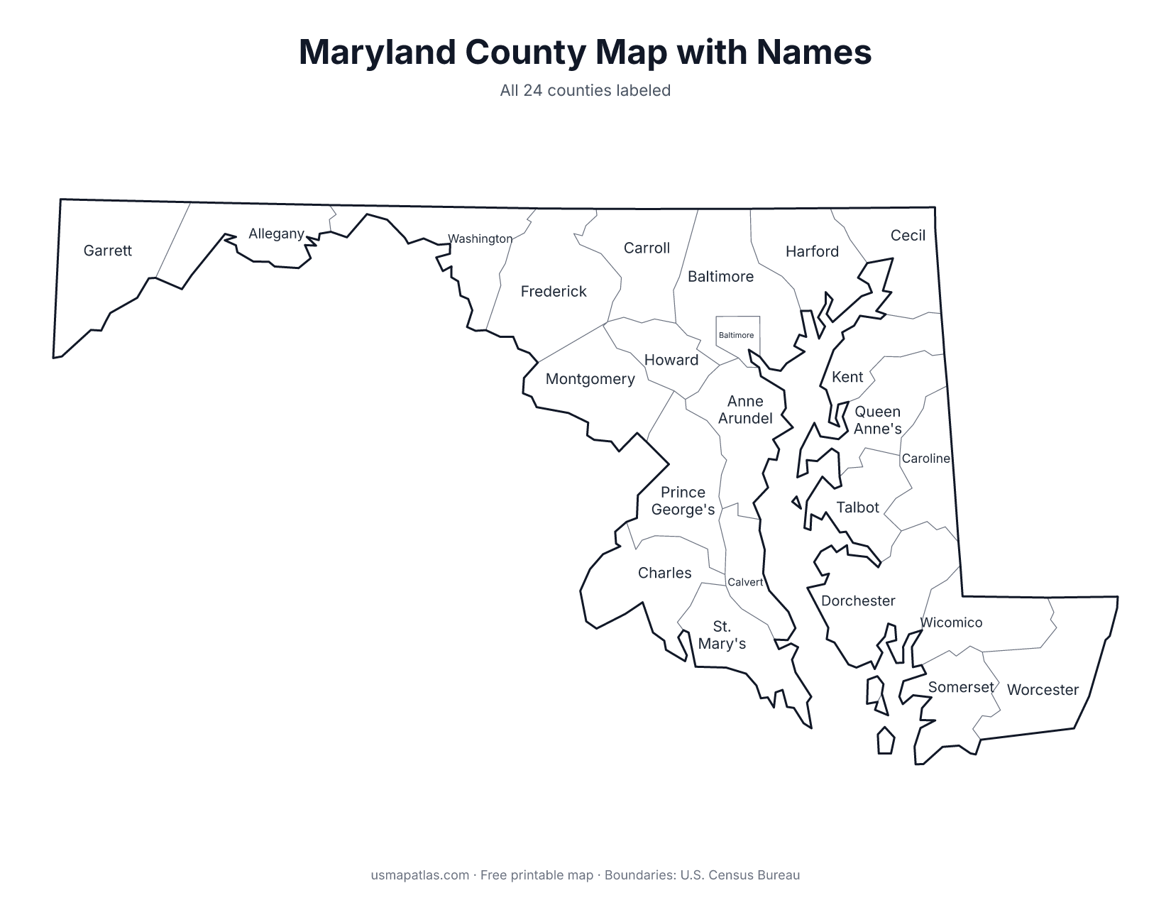
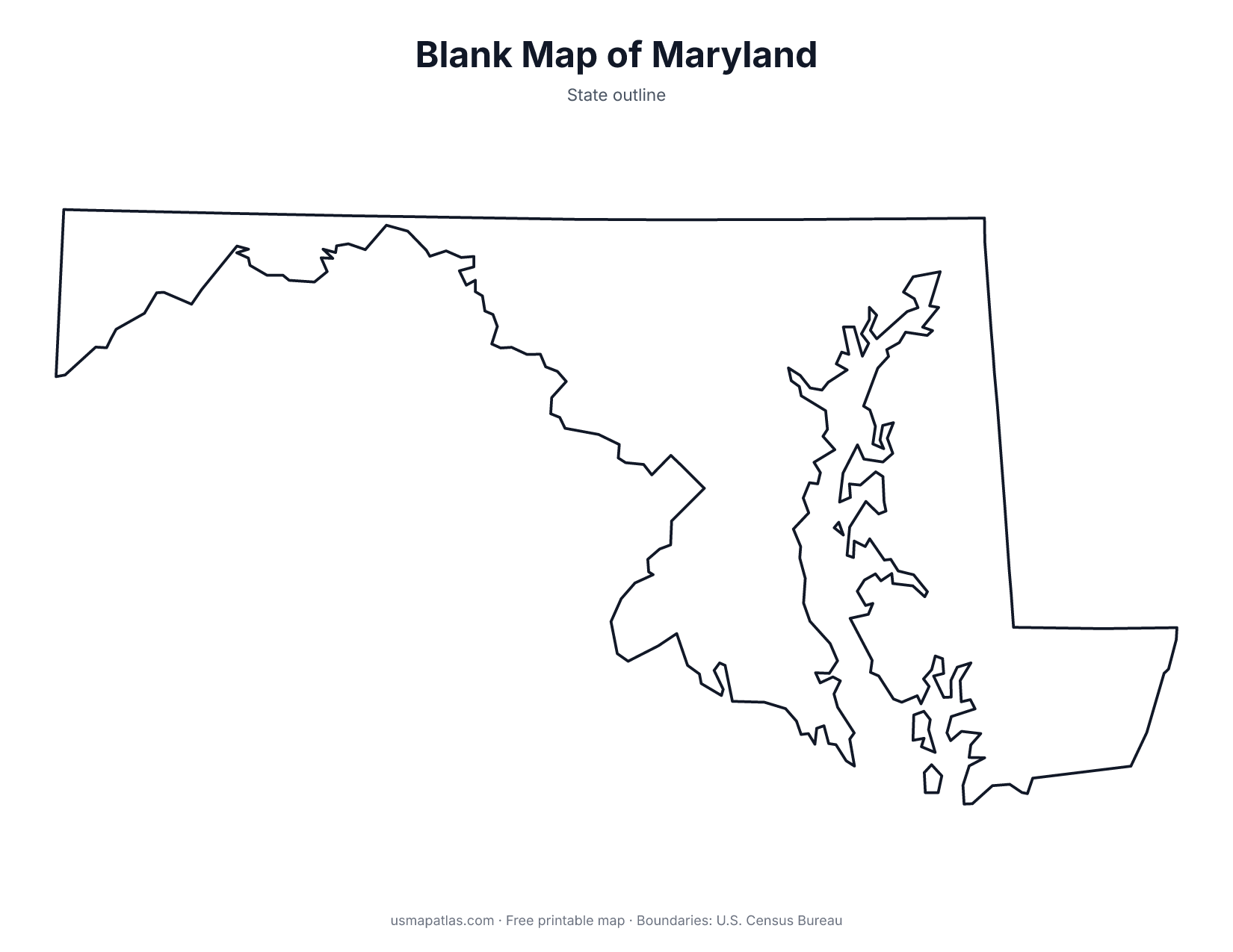
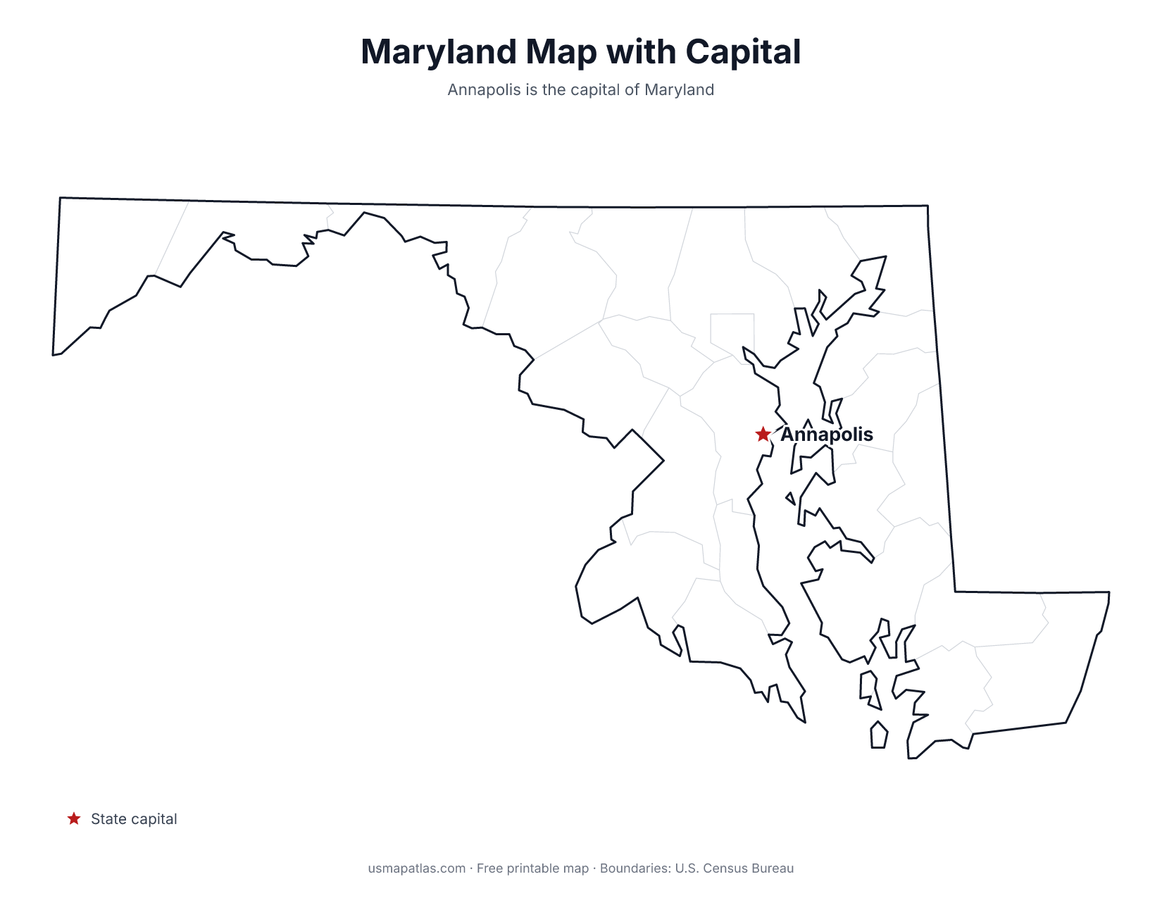
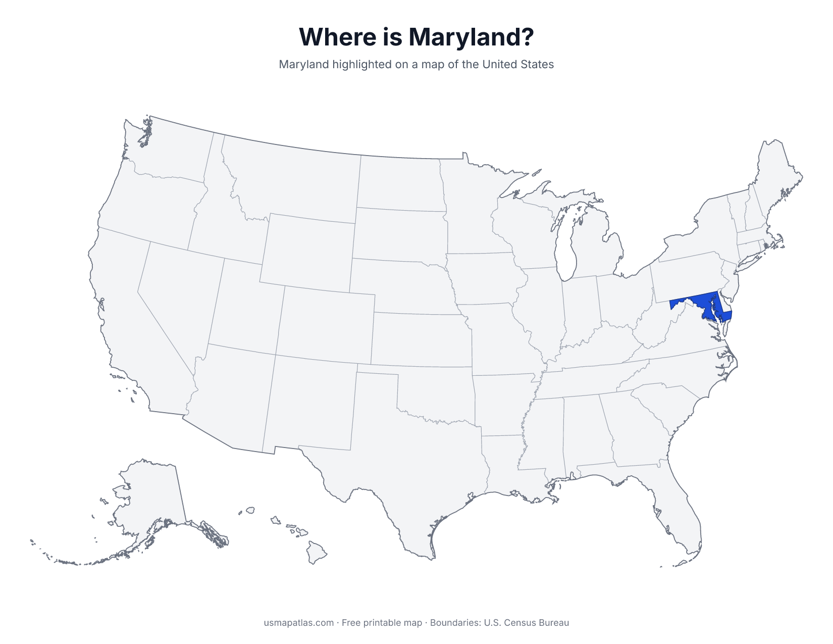
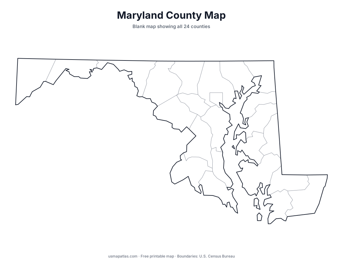
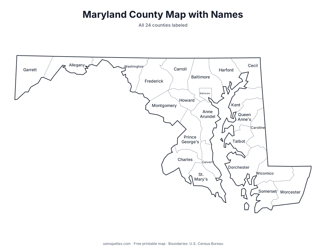
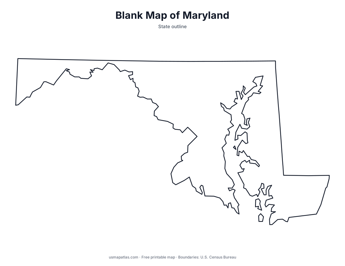
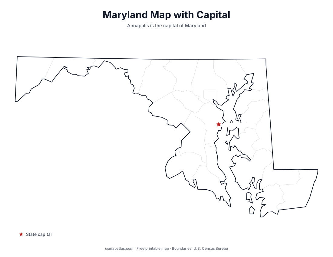
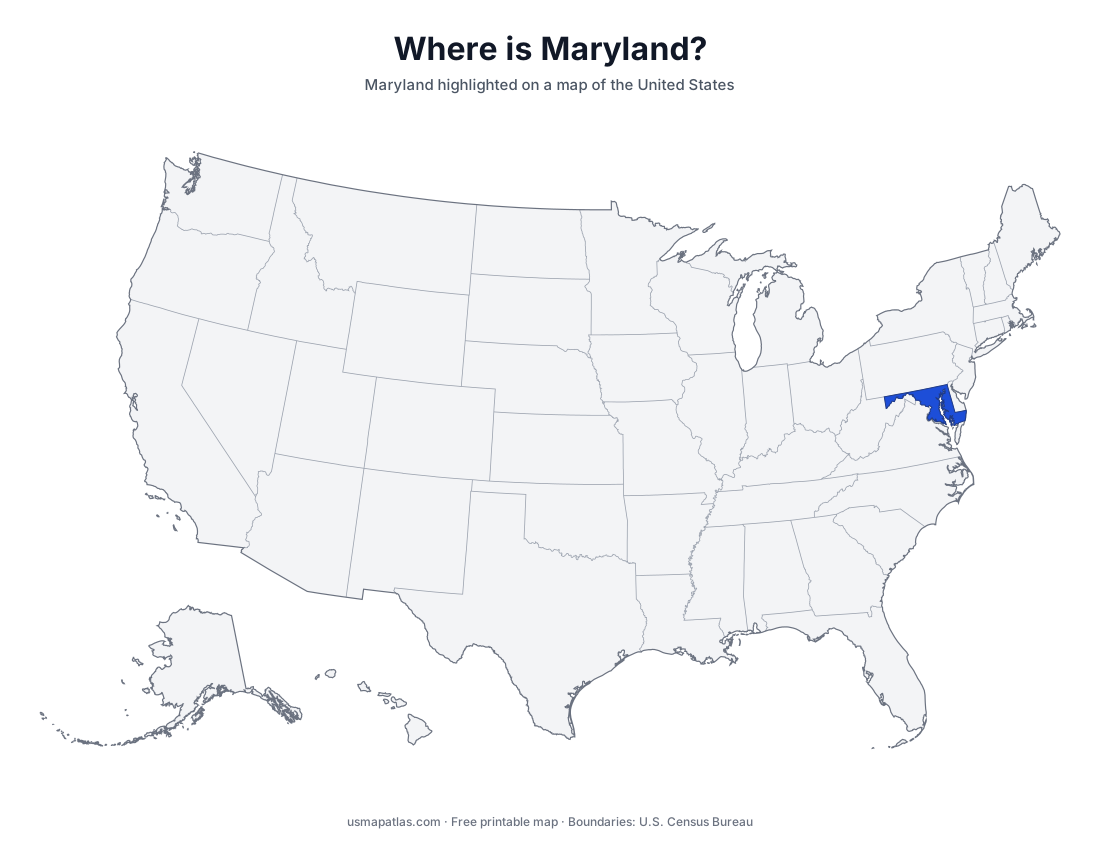
Free printable maps of Maryland: a county map with all 24 counties, the same map with every name labeled, a blank outline, a map with the capital and a location map. Download any of them as PDF, PNG or SVG, along with free Maryland worksheets.
About Maryland
Maryland wraps around the Chesapeake Bay, the largest estuary in the United States, which splits the state into the Western Shore and the Eastern Shore on the Delmarva Peninsula. In the west, Maryland narrows into a thin Appalachian panhandle that is less than two miles wide near Hancock. The Potomac River forms the southern border with Virginia and West Virginia, and the Mason-Dixon Line forms the northern border with Pennsylvania. Annapolis is the capital, and Baltimore is the largest city.
More printable maps of Maryland
Maryland worksheets
Free printable worksheets for learning about Maryland. Each PDF has the worksheet on page 1 and the answer key on page 2.
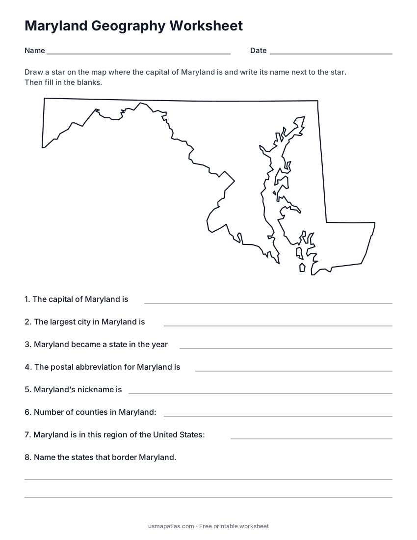
Maryland Geography Worksheet
2-page PDF: worksheet and answer key
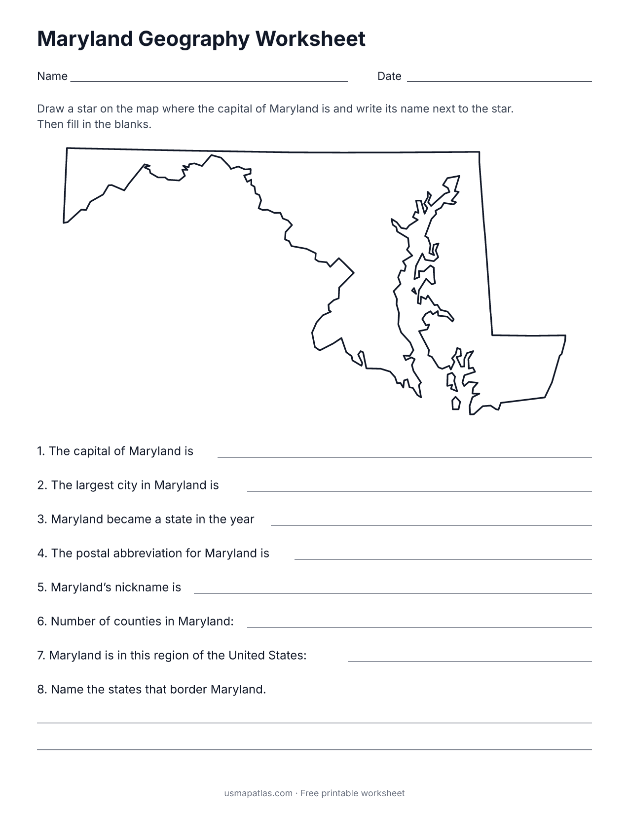
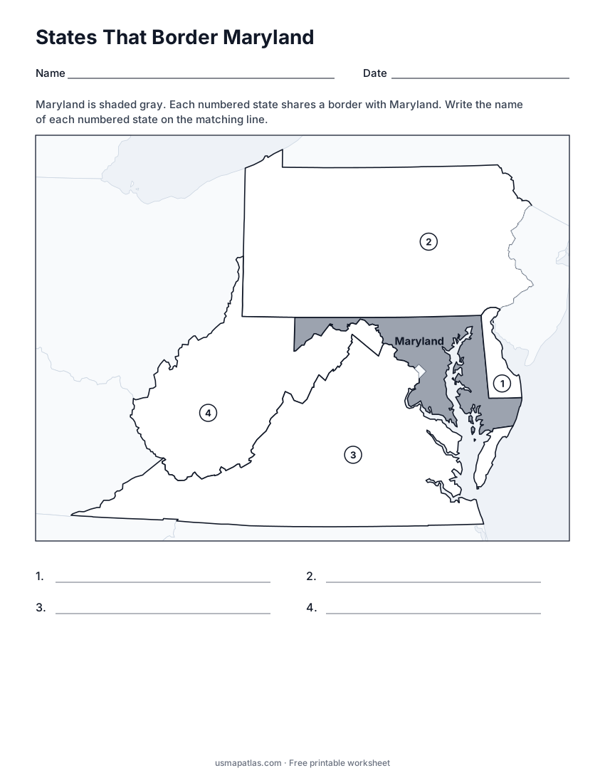
States That Border Maryland
2-page PDF: worksheet and answer key
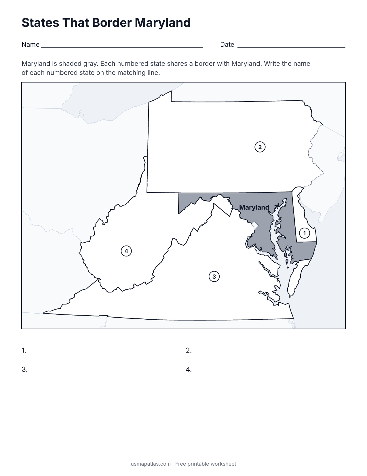
List of Maryland counties
All 24 counties of Maryland, in alphabetical order.
- Allegany
- Anne Arundel
- Baltimore
- Baltimore (city)
- Calvert
- Caroline
- Carroll
- Cecil
- Charles
- Dorchester
- Frederick
- Garrett
- Harford
- Howard
- Kent
- Montgomery
- Prince George's
- Queen Anne's
- Somerset
- St. Mary's
- Talbot
- Washington
- Wicomico
- Worcester
Frequently asked questions
What is the capital of Maryland?
Annapolis is the capital of Maryland. The largest city is Baltimore.
How many counties are in Maryland?
Maryland has 24 counties.
What states border Maryland?
Maryland shares a land border with 4 states: Delaware, Pennsylvania, Virginia and West Virginia.
When did Maryland become a state?
Maryland became a state on April 28, 1788, as the 7th state.