South Carolina Maps
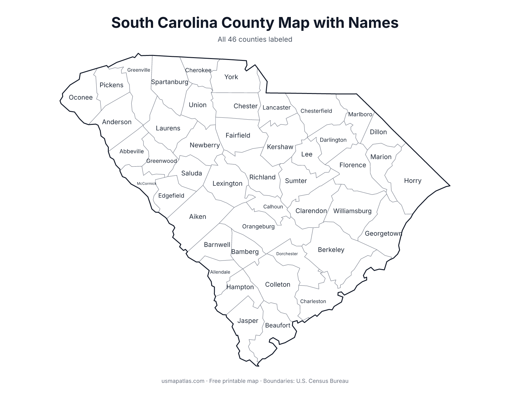
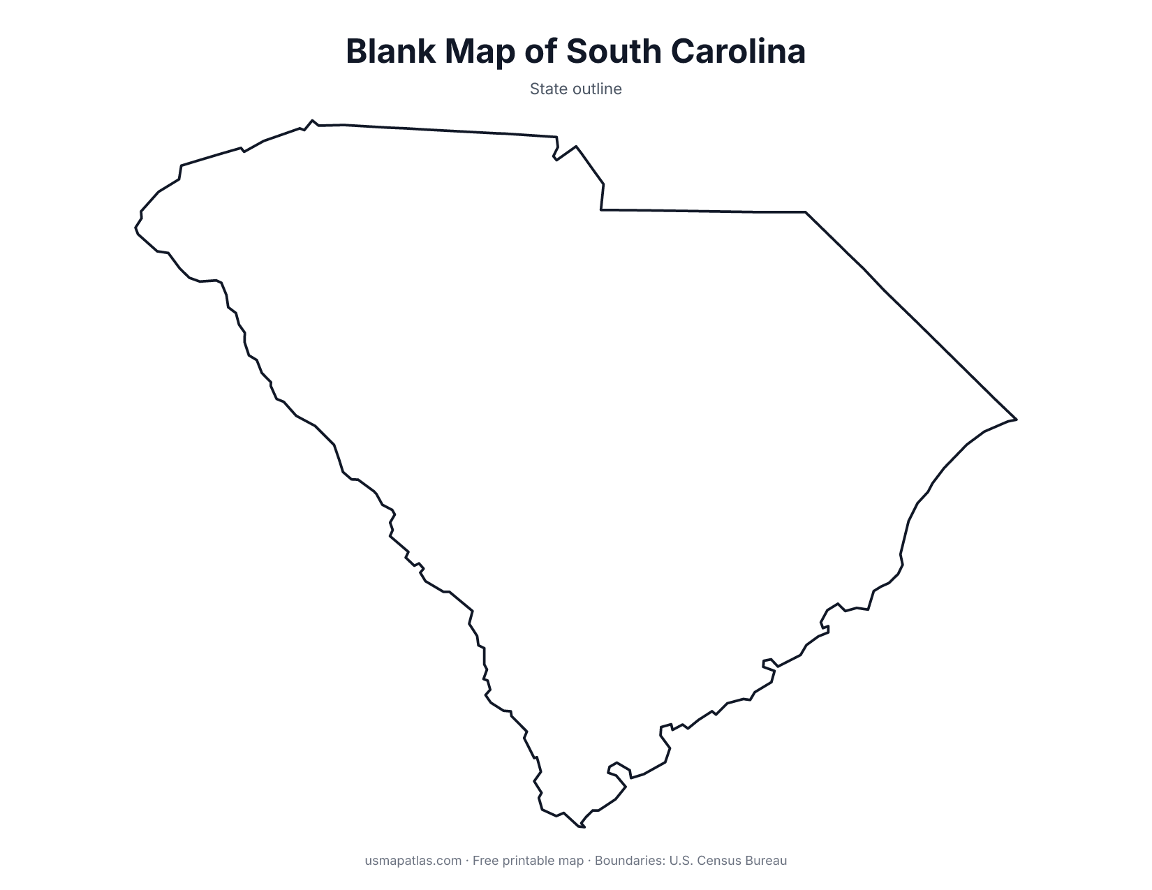
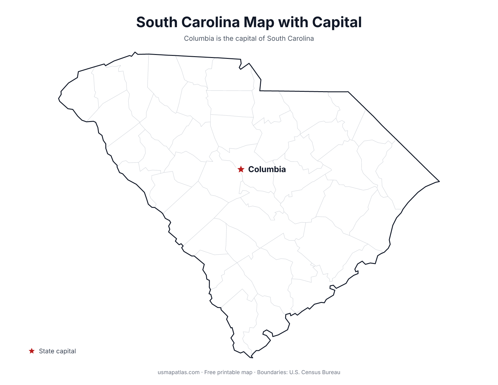
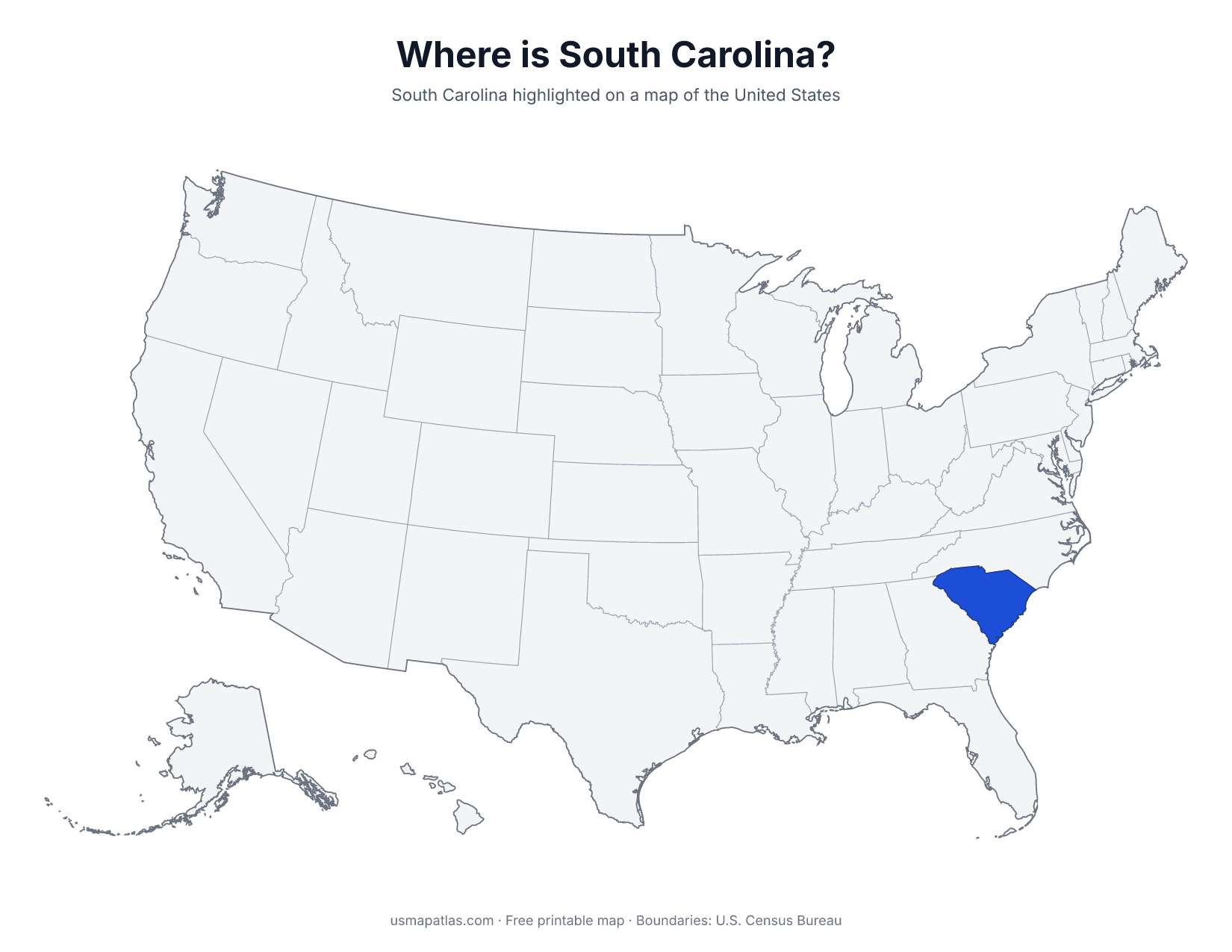
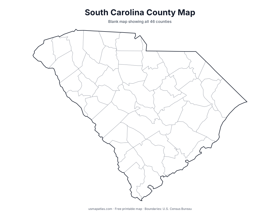
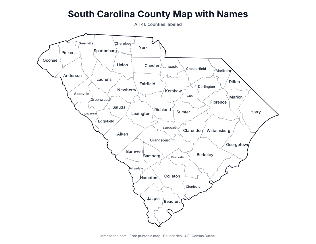
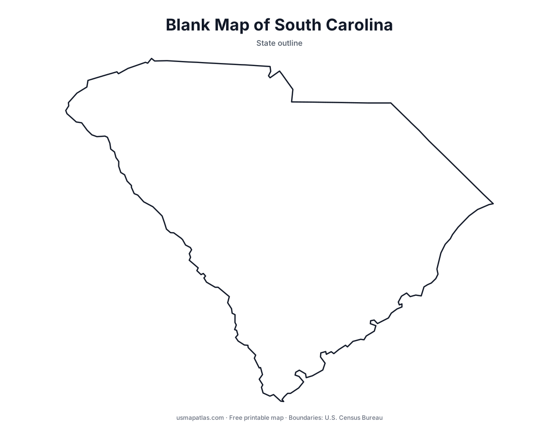
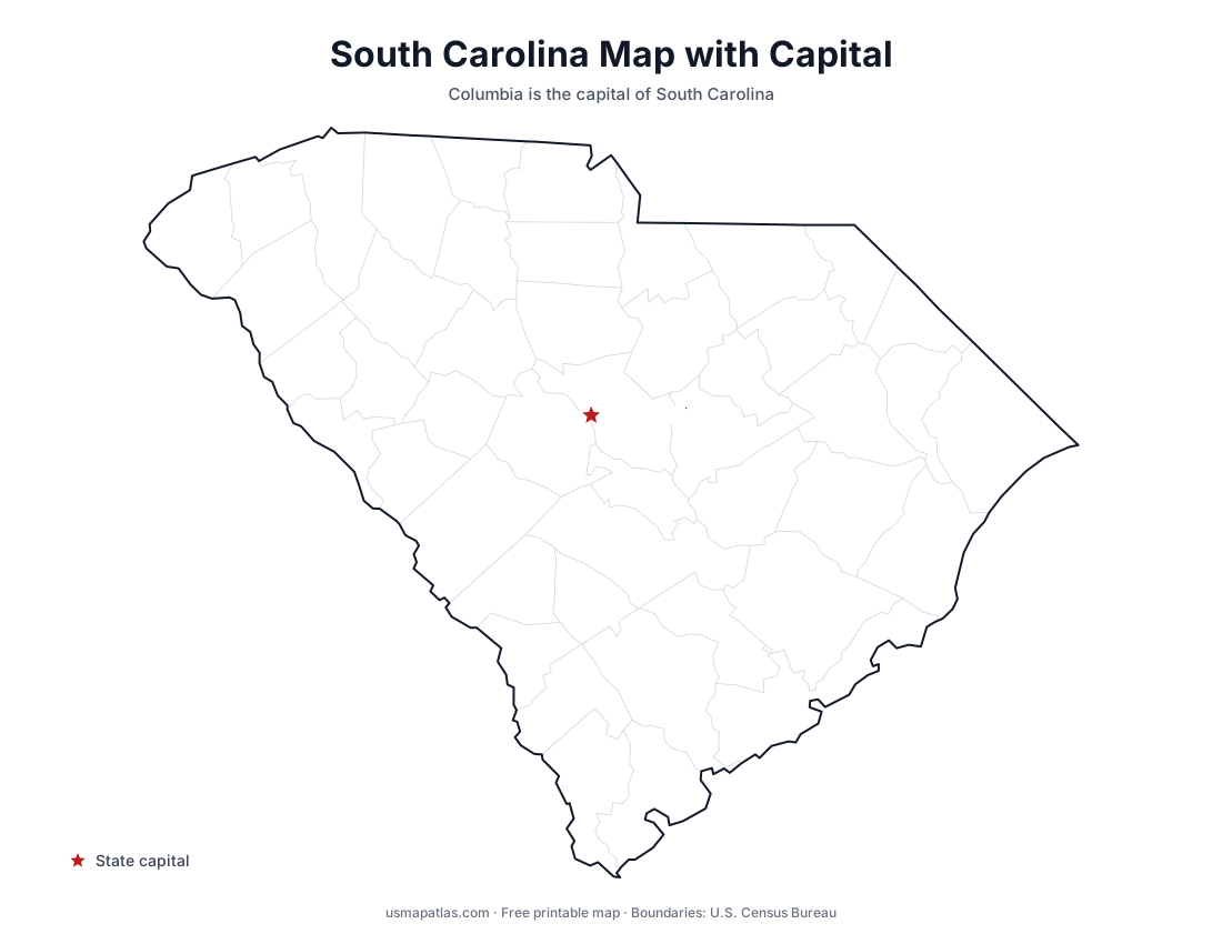
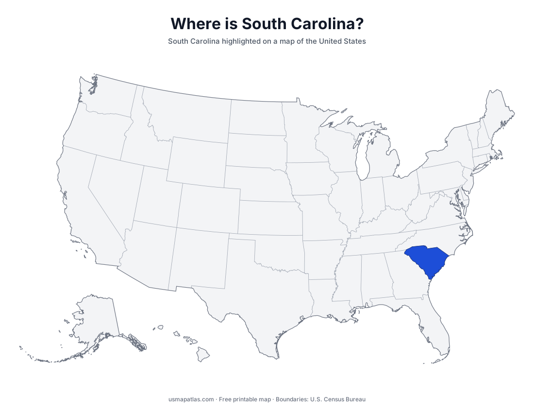
Free printable maps of South Carolina: a county map with all 46 counties, the same map with every name labeled, a blank outline, a map with the capital and a location map. Download any of them as PDF, PNG or SVG, along with free South Carolina worksheets.
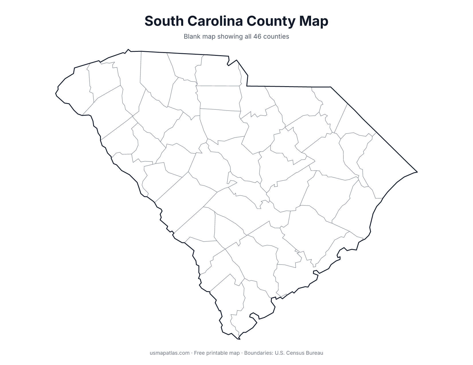
About South Carolina
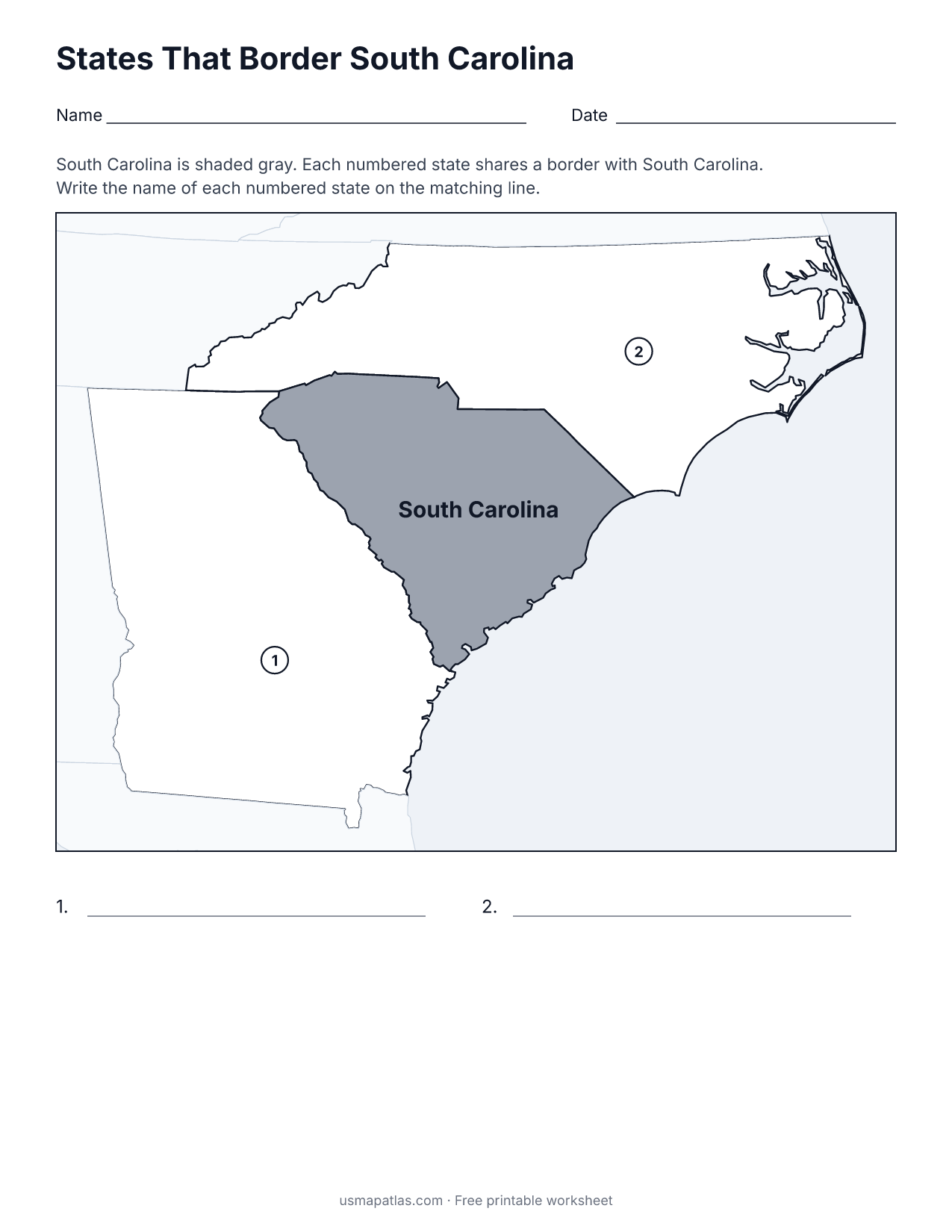
South Carolina is roughly triangular, bordered by North Carolina, Georgia and the Atlantic Ocean. The Blue Ridge touches the northwest corner, the Piedmont covers the Upstate around Greenville, and the Coastal Plain spreads across the rest of the state. The Savannah River forms the border with Georgia. The coast runs from the Grand Strand around Myrtle Beach to the Sea Islands near Hilton Head. Columbia is the capital, and Charleston is the largest city.
More printable maps of South Carolina
South Carolina worksheets
Free printable worksheets for learning about South Carolina. Each PDF has the worksheet on page 1 and the answer key on page 2.
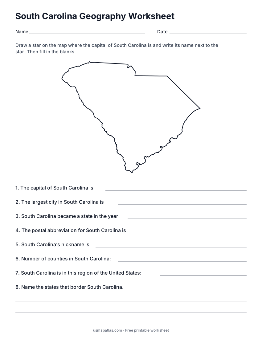
South Carolina Geography Worksheet
2-page PDF: worksheet and answer key
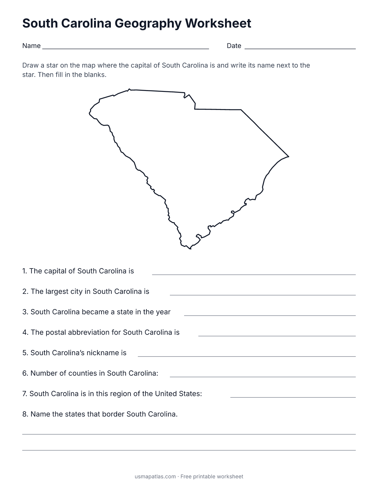
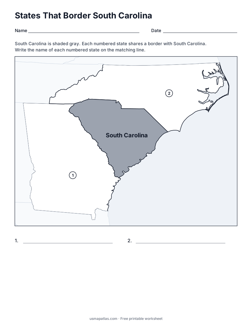
States That Border South Carolina
2-page PDF: worksheet and answer key
List of South Carolina counties
All 46 counties of South Carolina, in alphabetical order.
- Abbeville
- Aiken
- Allendale
- Anderson
- Bamberg
- Barnwell
- Beaufort
- Berkeley
- Calhoun
- Charleston
- Cherokee
- Chester
- Chesterfield
- Clarendon
- Colleton
- Darlington
- Dillon
- Dorchester
- Edgefield
- Fairfield
- Florence
- Georgetown
- Greenville
- Greenwood
- Hampton
- Horry
- Jasper
- Kershaw
- Lancaster
- Laurens
- Lee
- Lexington
- Marion
- Marlboro
- McCormick
- Newberry
- Oconee
- Orangeburg
- Pickens
- Richland
- Saluda
- Spartanburg
- Sumter
- Union
- Williamsburg
- York
Frequently asked questions
What is the capital of South Carolina?
Columbia is the capital of South Carolina. The largest city is Charleston.
How many counties are in South Carolina?
South Carolina has 46 counties.
What states border South Carolina?
South Carolina shares a land border with 2 states: Georgia and North Carolina.
When did South Carolina become a state?
South Carolina became a state on May 23, 1788, as the 8th state.