West Virginia Maps
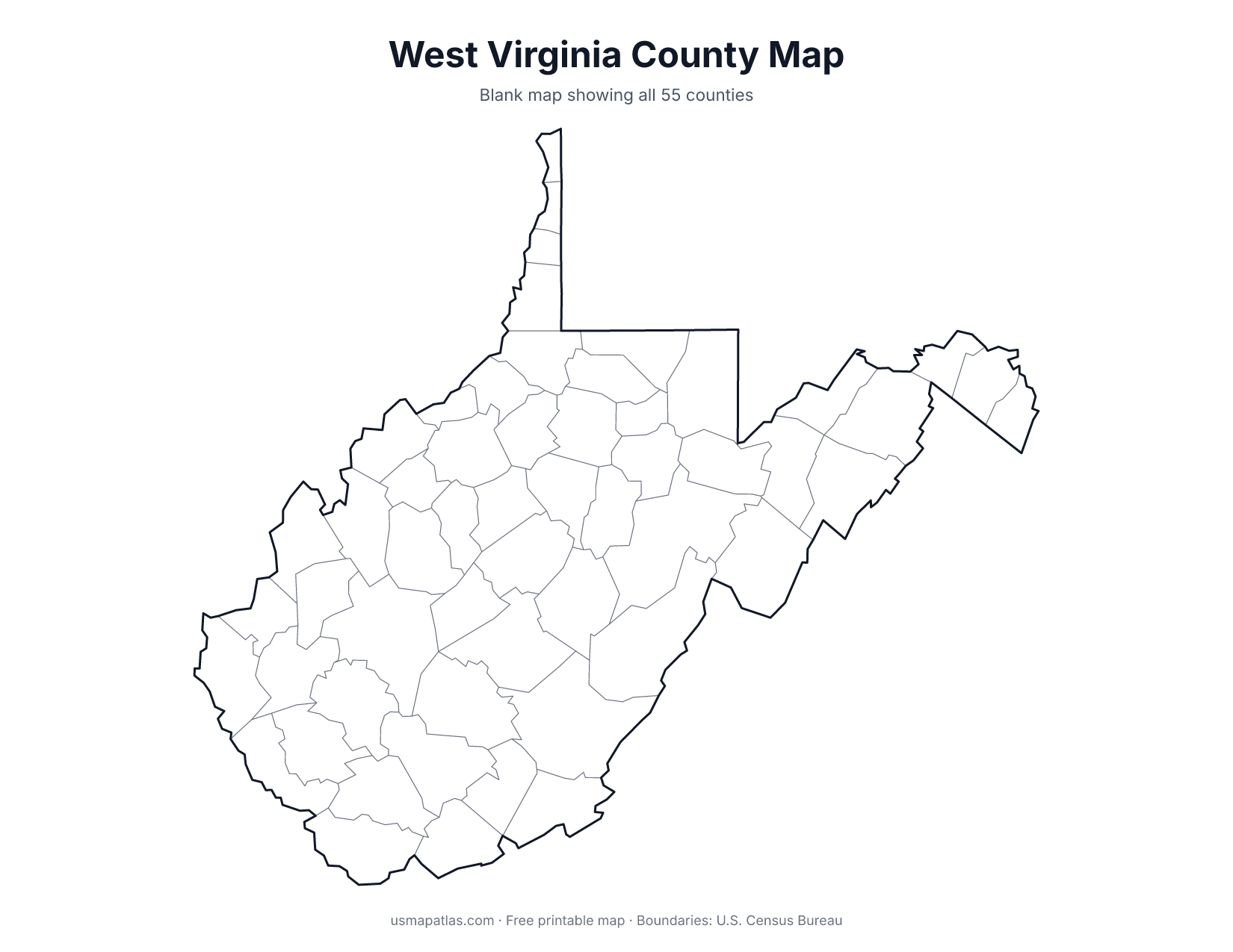
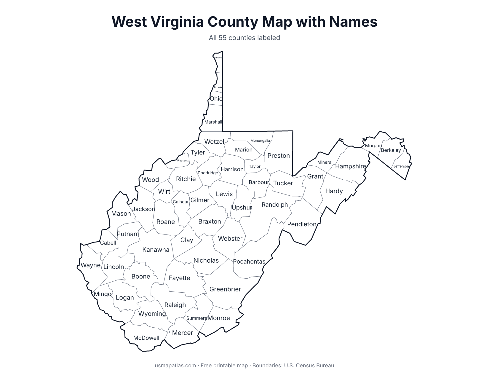
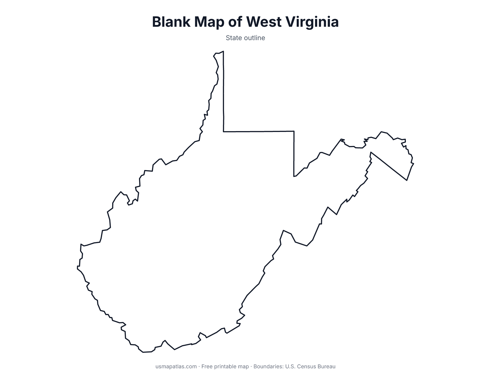
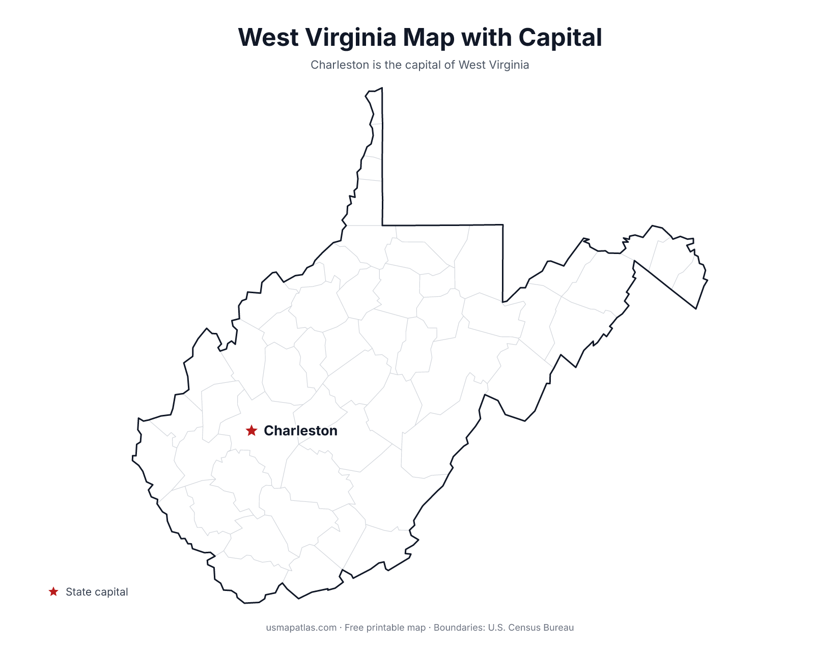
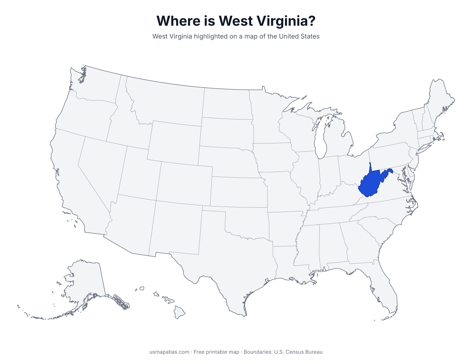
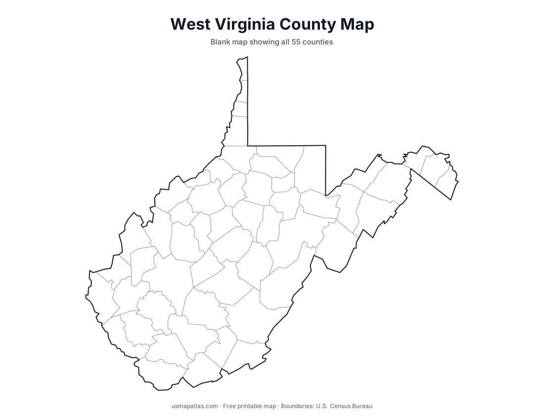
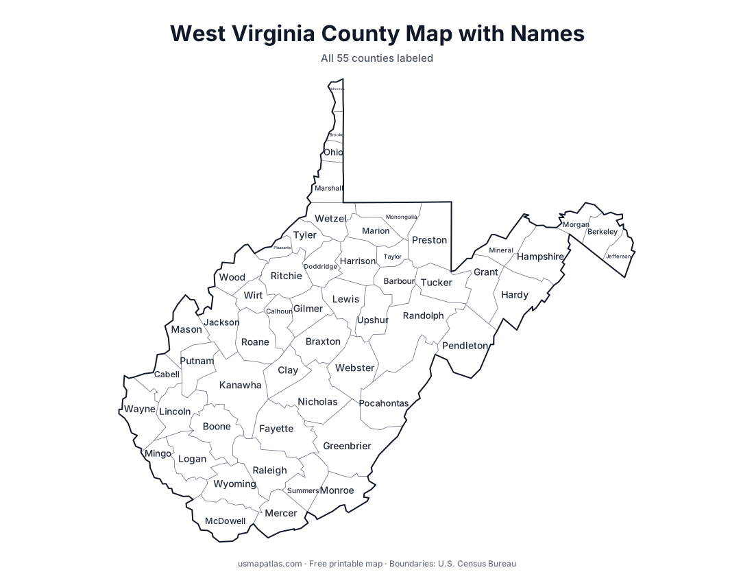
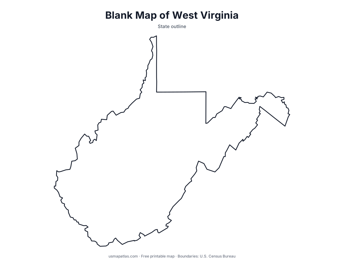
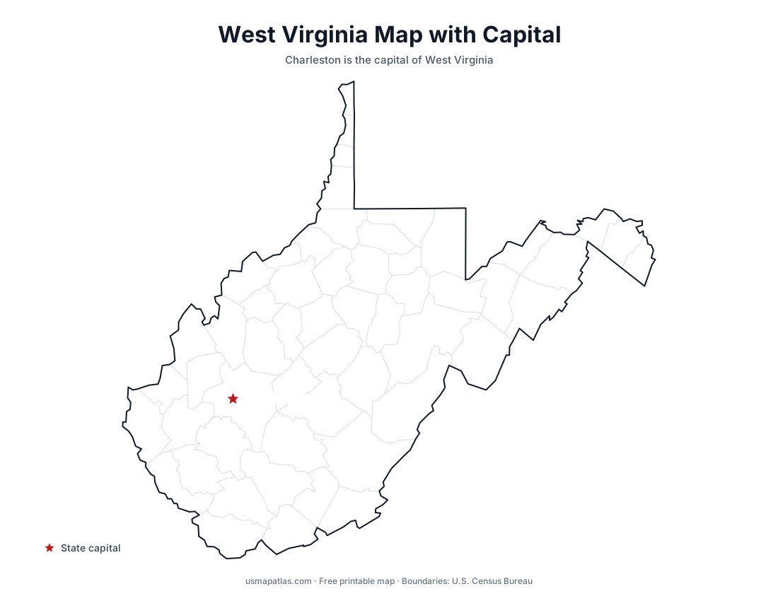
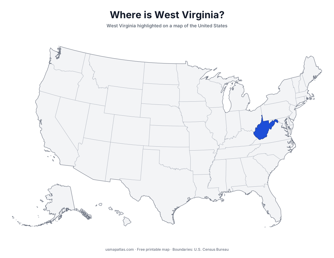
Free printable maps of West Virginia: a county map with all 55 counties, the same map with every name labeled, a blank outline, a map with the capital and a location map. Download any of them as PDF, PNG or SVG, along with free West Virginia worksheets.
About West Virginia
West Virginia is the only state that lies entirely within the Appalachian region. It split from Virginia during the Civil War and joined the Union in 1863. Its irregular shape includes two panhandles, the Northern Panhandle and the Eastern Panhandle, and the Ohio River forms its western border. Spruce Knob is the highest point. Charleston is the capital and the largest city.
More printable maps of West Virginia
West Virginia worksheets
Free printable worksheets for learning about West Virginia. Each PDF has the worksheet on page 1 and the answer key on page 2.
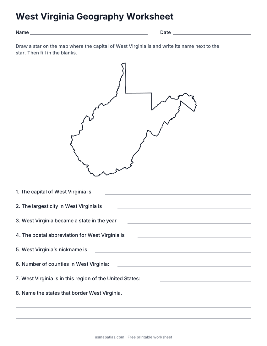
West Virginia Geography Worksheet
2-page PDF: worksheet and answer key
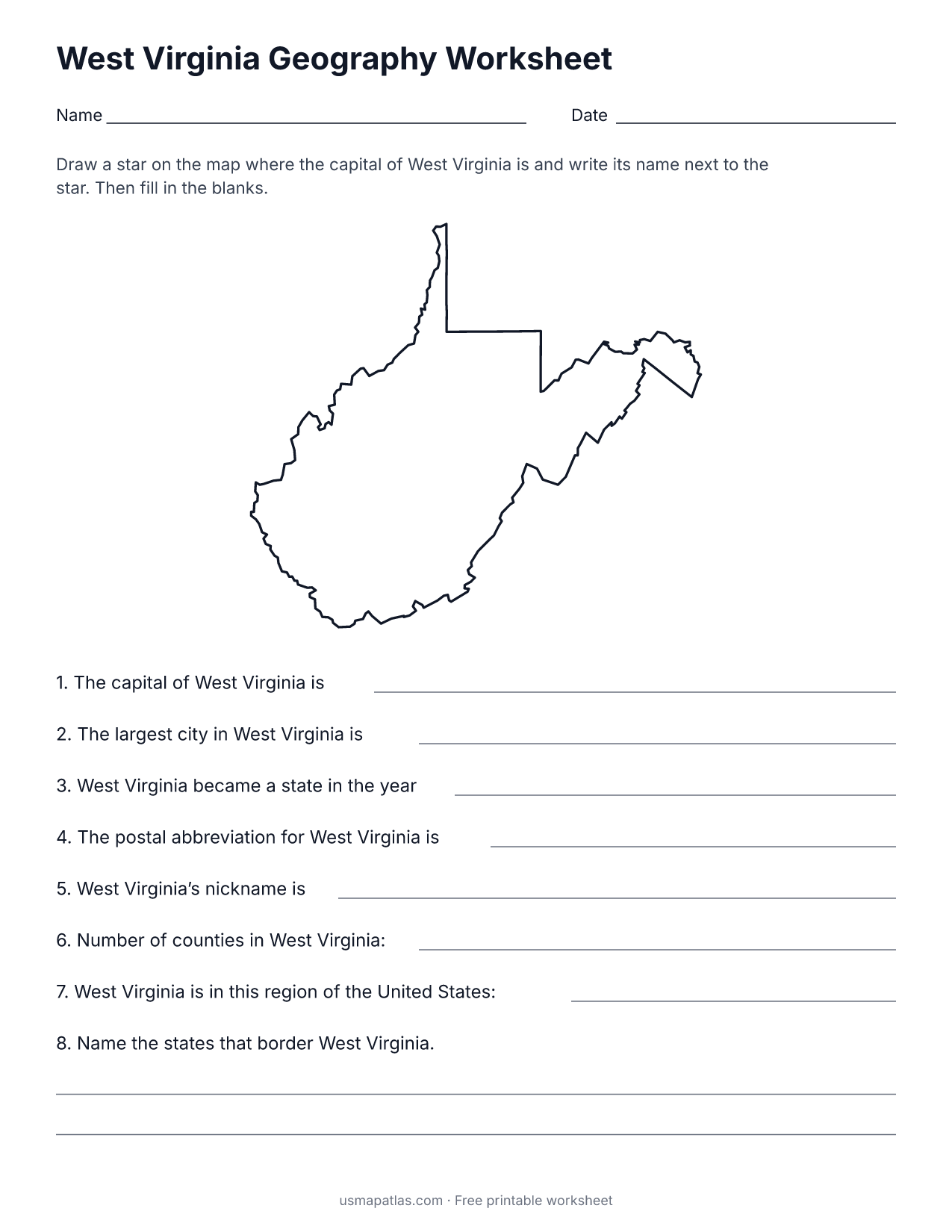
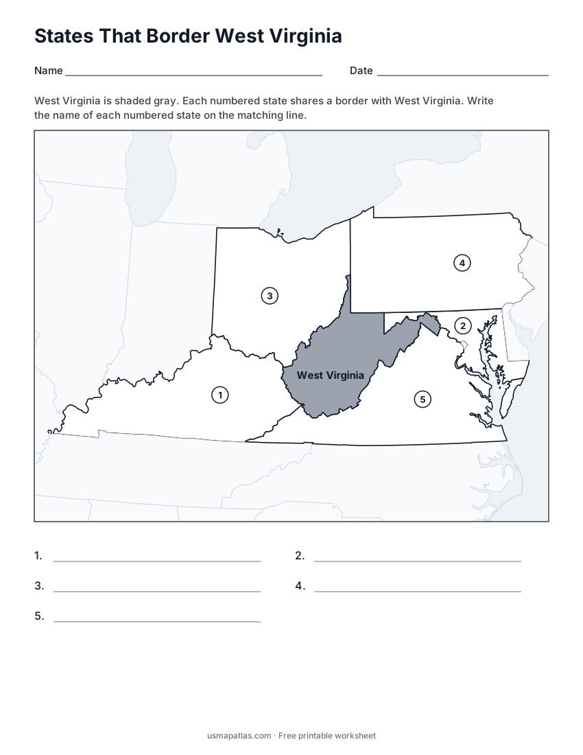
States That Border West Virginia
2-page PDF: worksheet and answer key
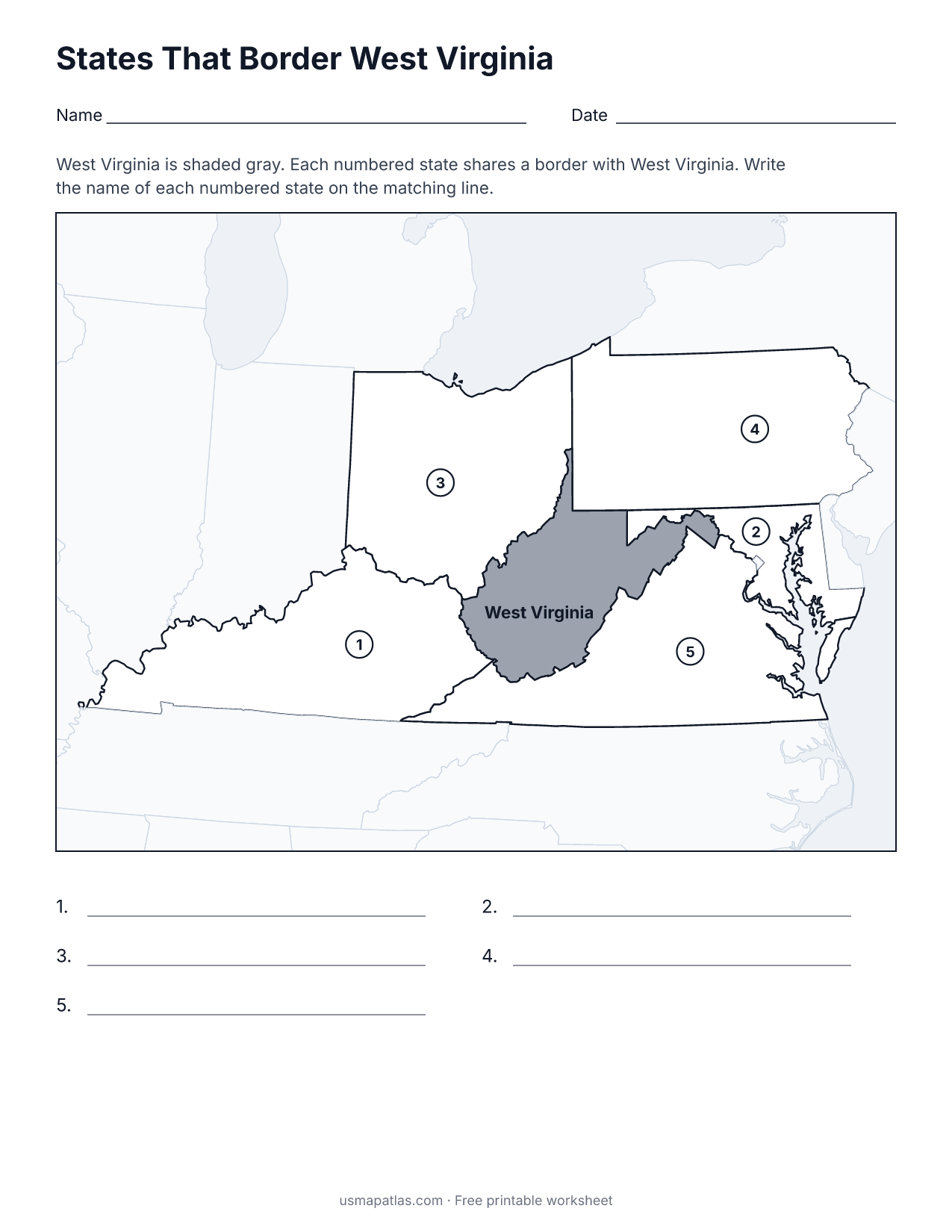
List of West Virginia counties
All 55 counties of West Virginia, in alphabetical order.
- Barbour
- Berkeley
- Boone
- Braxton
- Brooke
- Cabell
- Calhoun
- Clay
- Doddridge
- Fayette
- Gilmer
- Grant
- Greenbrier
- Hampshire
- Hancock
- Hardy
- Harrison
- Jackson
- Jefferson
- Kanawha
- Lewis
- Lincoln
- Logan
- Marion
- Marshall
- Mason
- McDowell
- Mercer
- Mineral
- Mingo
- Monongalia
- Monroe
- Morgan
- Nicholas
- Ohio
- Pendleton
- Pleasants
- Pocahontas
- Preston
- Putnam
- Raleigh
- Randolph
- Ritchie
- Roane
- Summers
- Taylor
- Tucker
- Tyler
- Upshur
- Wayne
- Webster
- Wetzel
- Wirt
- Wood
- Wyoming
Frequently asked questions
What is the capital of West Virginia?
Charleston is the capital of West Virginia. It is also the state’s largest city.
How many counties are in West Virginia?
West Virginia has 55 counties.
What states border West Virginia?
West Virginia shares a land border with 5 states: Kentucky, Maryland, Ohio, Pennsylvania and Virginia.
When did West Virginia become a state?
West Virginia became a state on June 20, 1863, as the 35th state.