Virginia Maps
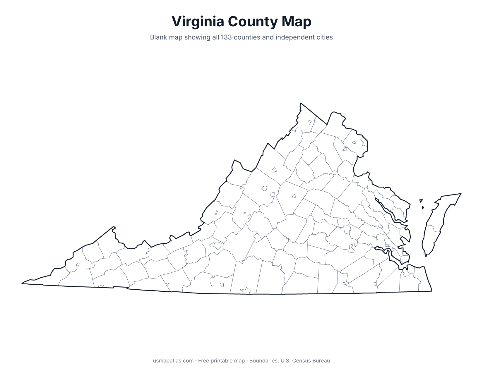
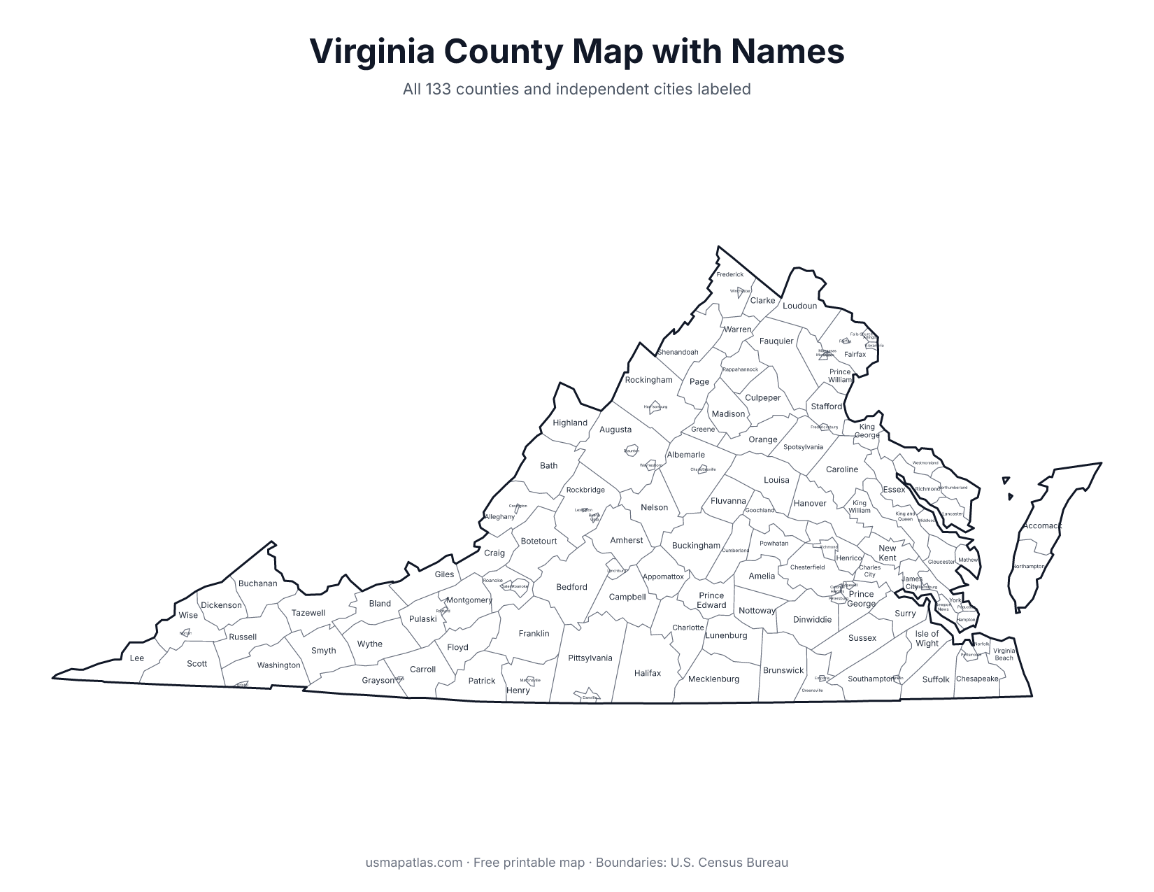
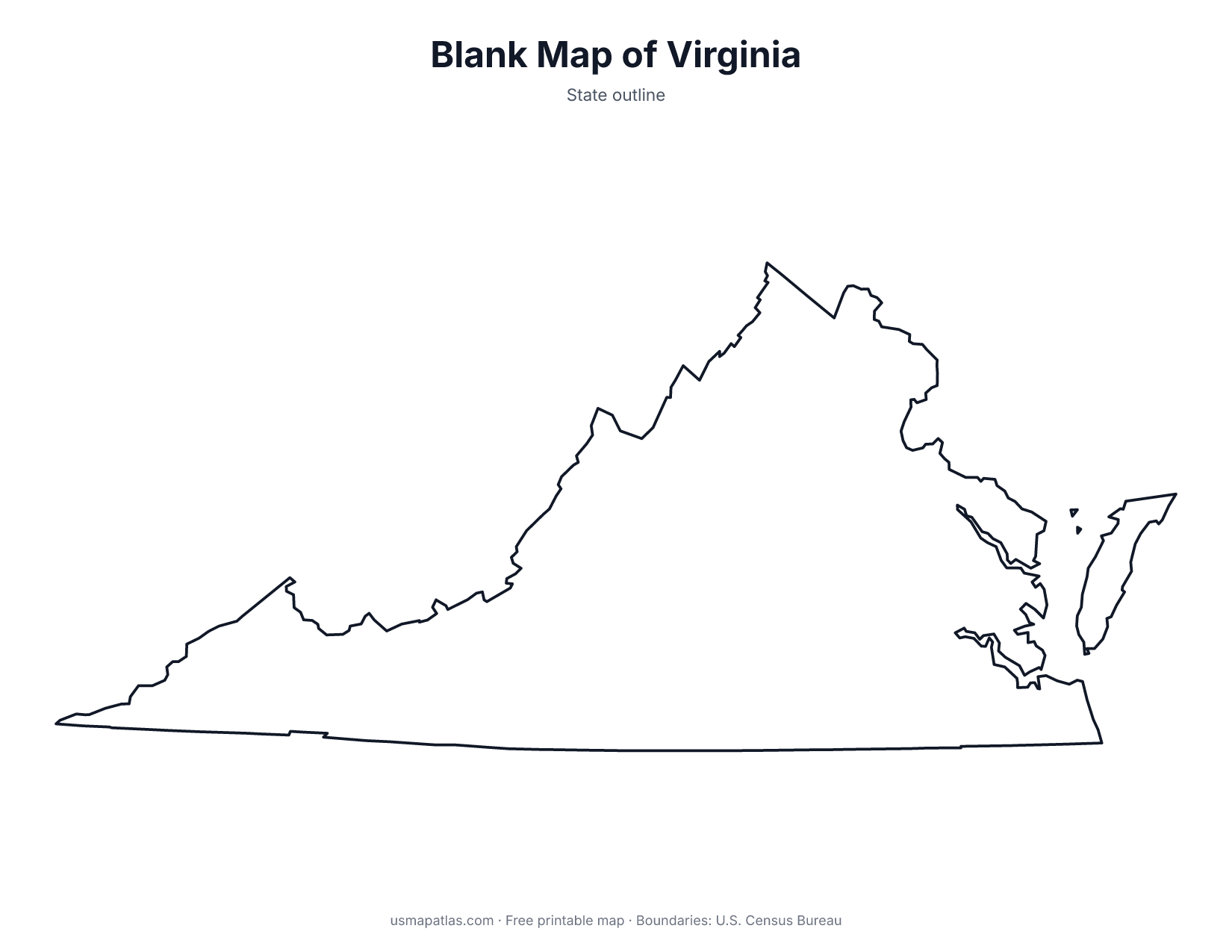
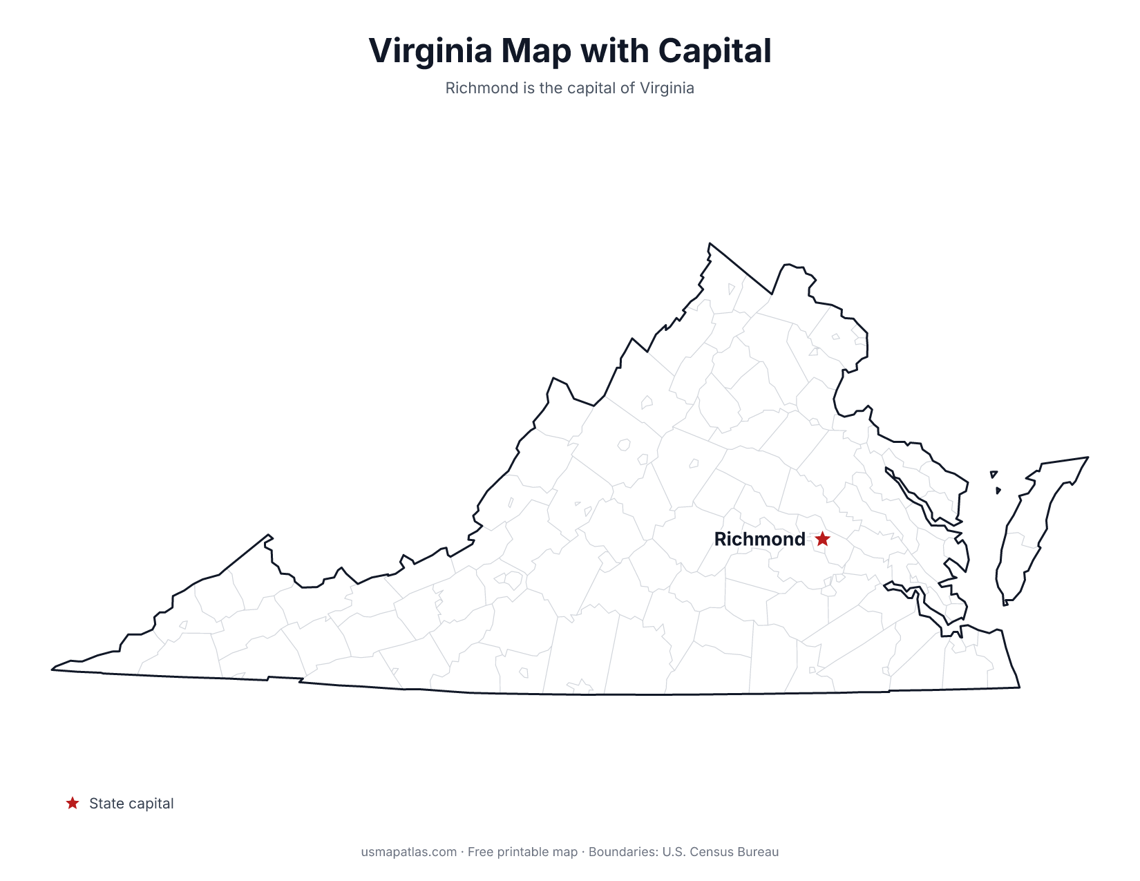
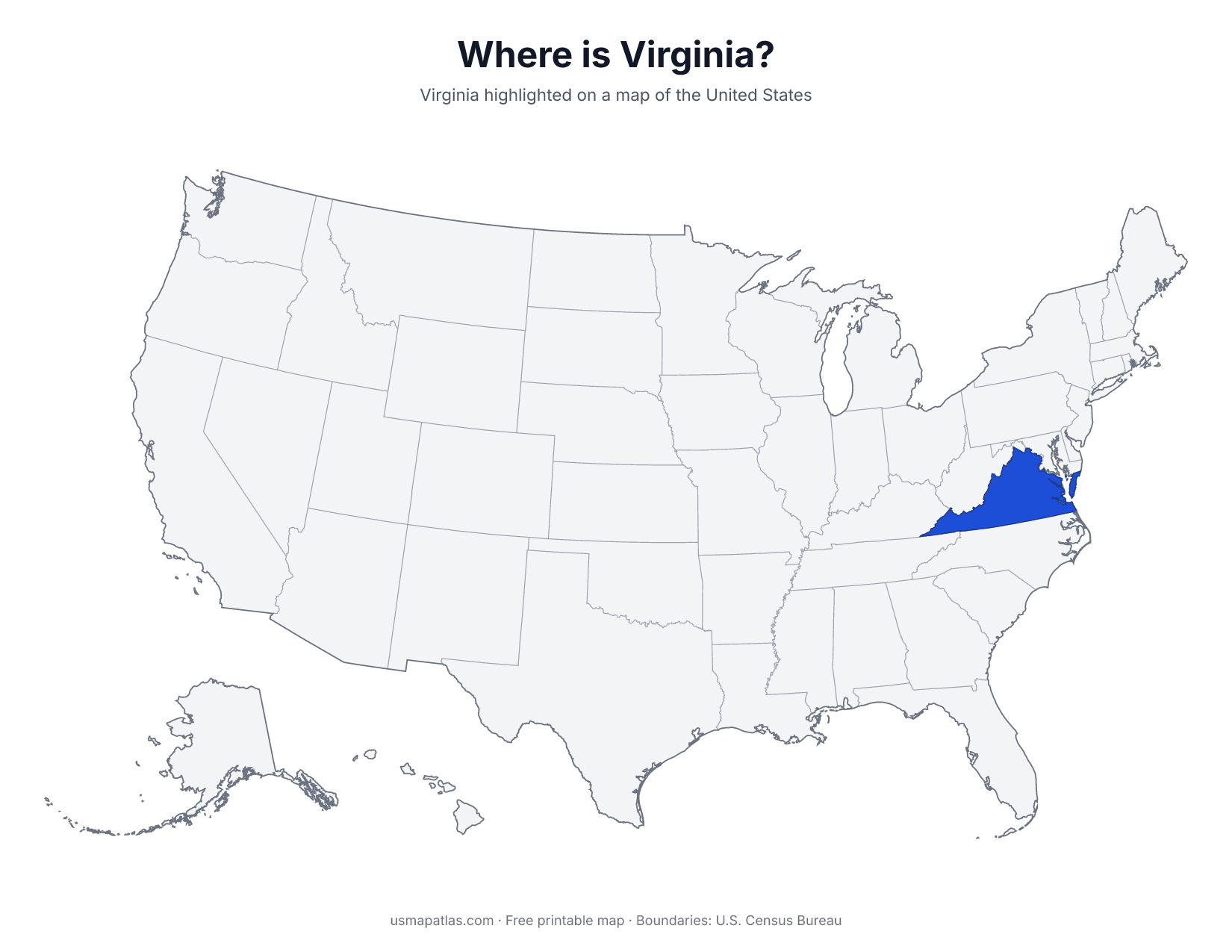
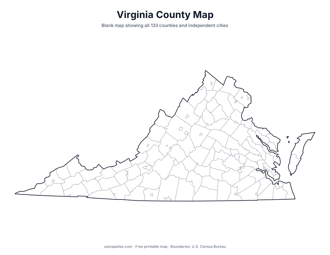
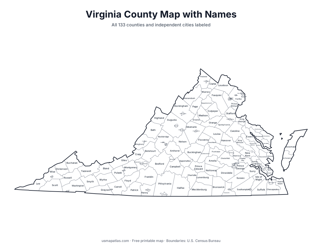
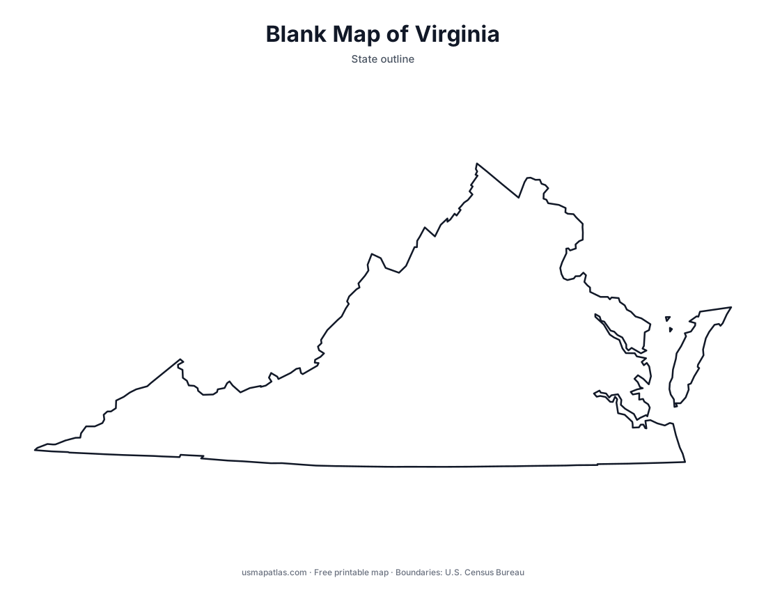
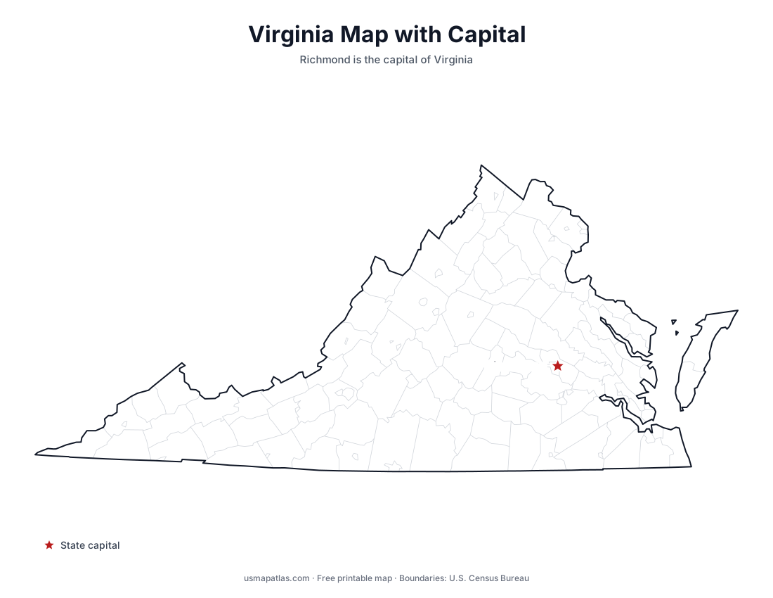
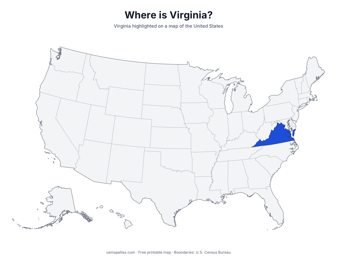
Free printable maps of Virginia: a county map with all 133 counties and independent cities, the same map with every name labeled, a blank outline, a map with the capital and a location map. Download any of them as PDF, PNG or SVG, along with free Virginia worksheets.
About Virginia
Virginia stretches from the Atlantic coast and the Chesapeake Bay west into the Appalachian Mountains. The Tidewater region surrounds the bay and Hampton Roads, the Piedmont covers the center of the state, and the Blue Ridge and the Shenandoah Valley lie to the west. The Eastern Shore, across the bay, is part of the Delmarva Peninsula. Virginia has 95 counties and 38 independent cities, which are separate from the counties around them. Richmond is the capital, and Virginia Beach is the largest city.
Virginia's 38 independent cities are county-equivalents, so they appear on these maps as small areas inside or next to the counties around them.
More printable maps of Virginia
Virginia worksheets
Free printable worksheets for learning about Virginia. Each PDF has the worksheet on page 1 and the answer key on page 2.
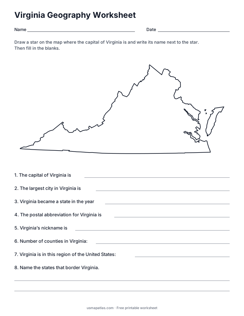
Virginia Geography Worksheet
2-page PDF: worksheet and answer key
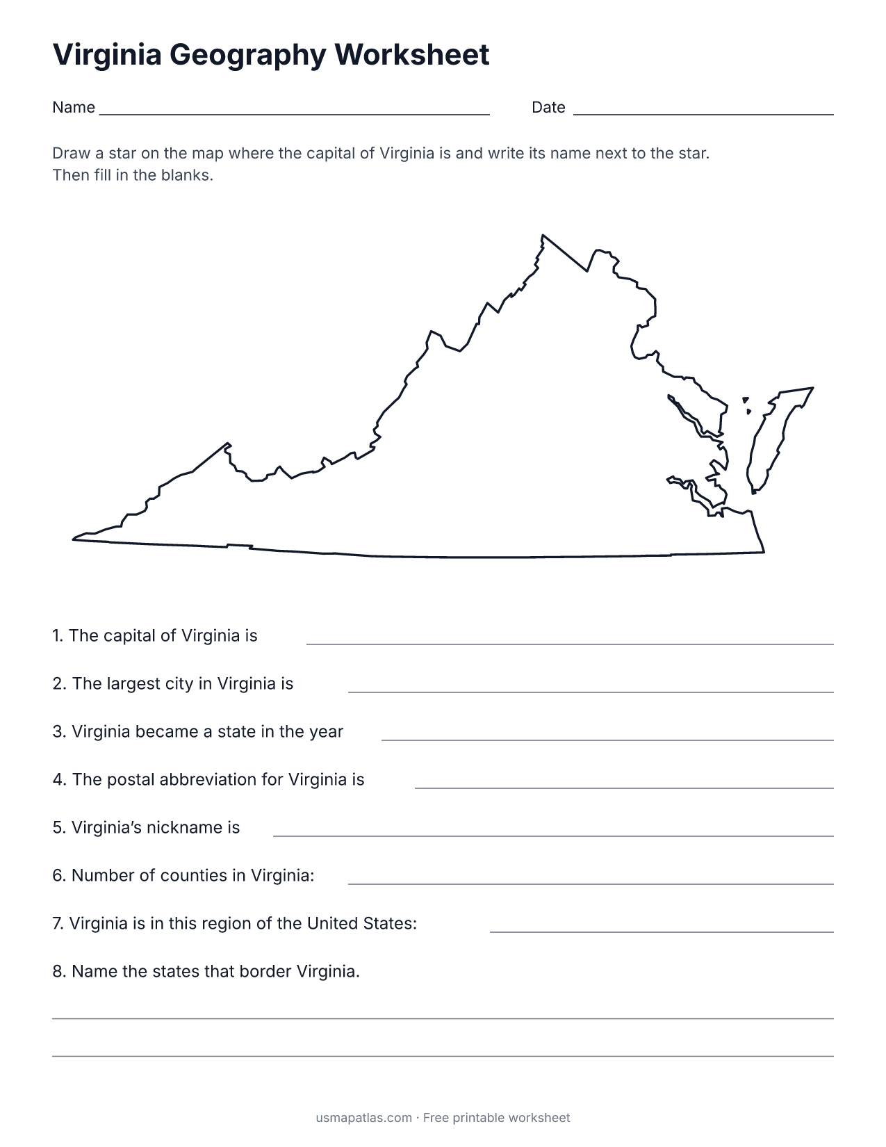
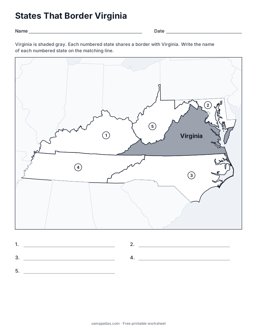
States That Border Virginia
2-page PDF: worksheet and answer key
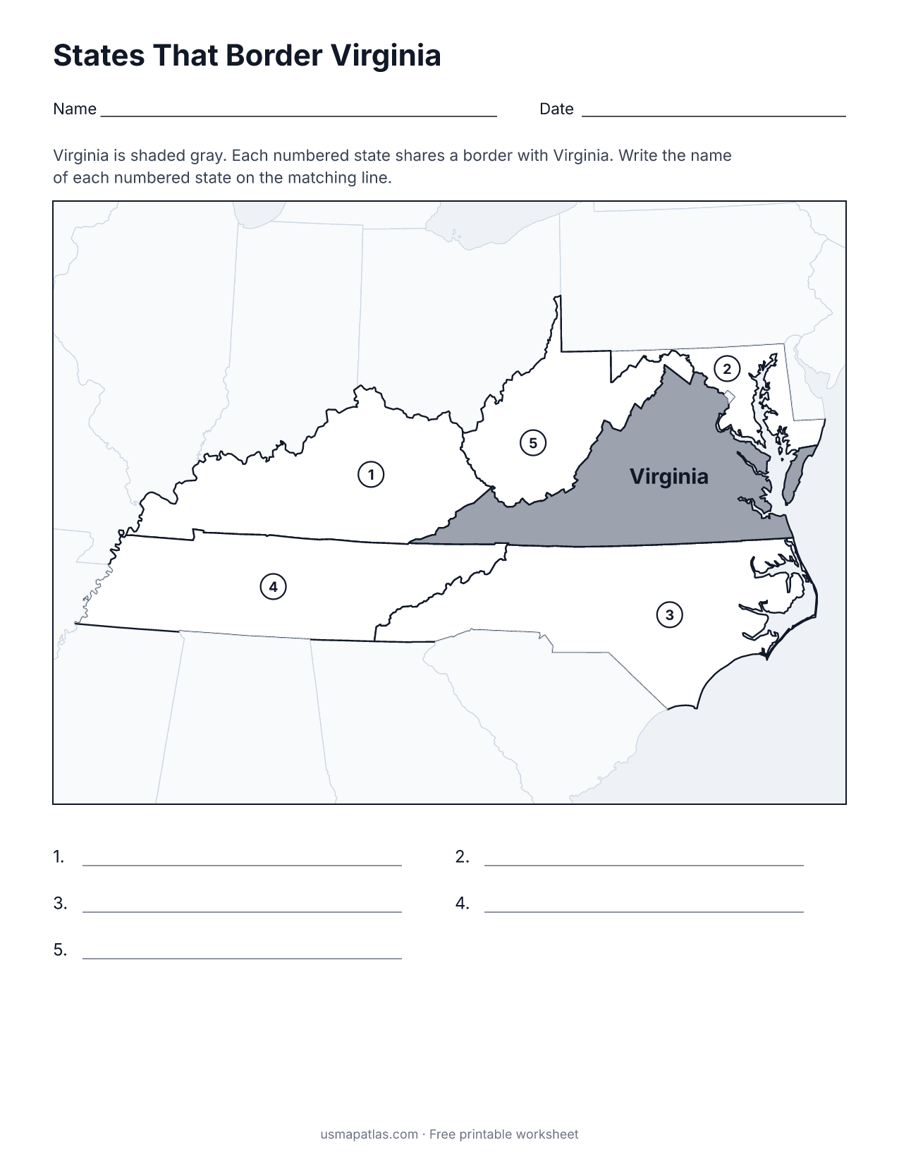
List of Virginia counties and independent cities
The 133 counties and independent cities of Virginia, in alphabetical order.
- Accomack
- Albemarle
- Alexandria (city)
- Alleghany
- Amelia
- Amherst
- Appomattox
- Arlington
- Augusta
- Bath
- Bedford
- Bland
- Botetourt
- Bristol (city)
- Brunswick
- Buchanan
- Buckingham
- Buena Vista (city)
- Campbell
- Caroline
- Carroll
- Charles City
- Charlotte
- Charlottesville (city)
- Chesapeake (city)
- Chesterfield
- Clarke
- Colonial Heights (city)
- Covington (city)
- Craig
- Culpeper
- Cumberland
- Danville (city)
- Dickenson
- Dinwiddie
- Emporia (city)
- Essex
- Fairfax
- Fairfax (city)
- Falls Church (city)
- Fauquier
- Floyd
- Fluvanna
- Franklin
- Franklin (city)
- Frederick
- Fredericksburg (city)
- Galax (city)
- Giles
- Gloucester
- Goochland
- Grayson
- Greene
- Greensville
- Halifax
- Hampton (city)
- Hanover
- Harrisonburg (city)
- Henrico
- Henry
- Highland
- Hopewell (city)
- Isle of Wight
- James City
- King and Queen
- King George
- King William
- Lancaster
- Lee
- Lexington (city)
- Loudoun
- Louisa
- Lunenburg
- Lynchburg (city)
- Madison
- Manassas (city)
- Manassas Park (city)
- Martinsville (city)
- Mathews
- Mecklenburg
- Middlesex
- Montgomery
- Nelson
- New Kent
- Newport News (city)
- Norfolk (city)
- Northampton
- Northumberland
- Norton (city)
- Nottoway
- Orange
- Page
- Patrick
- Petersburg (city)
- Pittsylvania
- Poquoson (city)
- Portsmouth (city)
- Powhatan
- Prince Edward
- Prince George
- Prince William
- Pulaski
- Radford (city)
- Rappahannock
- Richmond
- Richmond (city)
- Roanoke
- Roanoke (city)
- Rockbridge
- Rockingham
- Russell
- Salem (city)
- Scott
- Shenandoah
- Smyth
- Southampton
- Spotsylvania
- Stafford
- Staunton (city)
- Suffolk (city)
- Surry
- Sussex
- Tazewell
- Virginia Beach (city)
- Warren
- Washington
- Waynesboro (city)
- Westmoreland
- Williamsburg (city)
- Winchester (city)
- Wise
- Wythe
- York
Frequently asked questions
What is the capital of Virginia?
Richmond is the capital of Virginia. The largest city is Virginia Beach.
How many counties are in Virginia?
Virginia has 95 counties and 38 independent cities, for a total of 133 county-equivalents.
What states border Virginia?
Virginia shares a land border with 5 states: Kentucky, Maryland, North Carolina, Tennessee and West Virginia.
When did Virginia become a state?
Virginia became a state on June 25, 1788, as the 10th state.