US Map with State Names
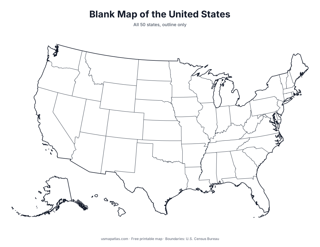
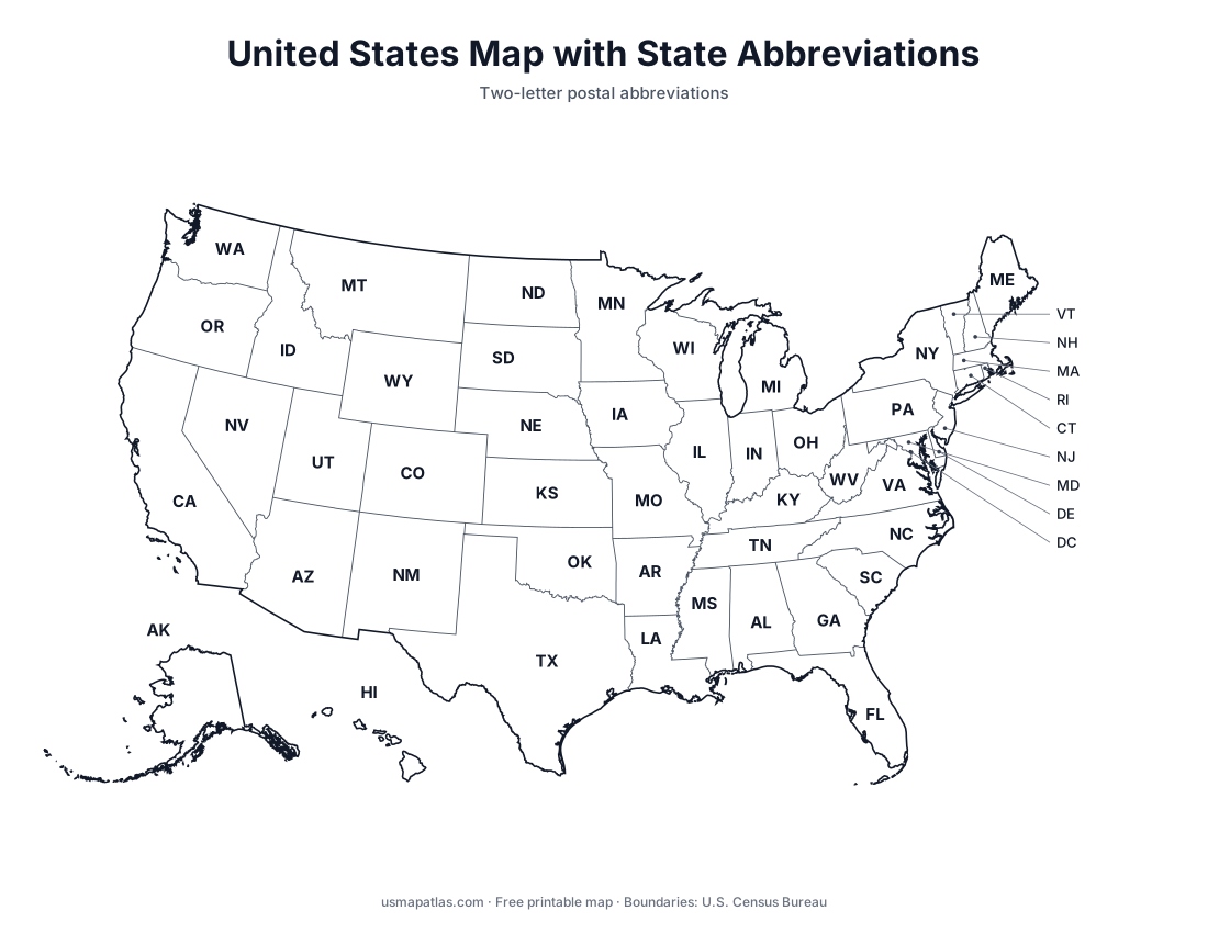
Printable map of the United States with all 50 state names labeled. Free PDF, PNG and SVG downloads, plus a full list of the states.
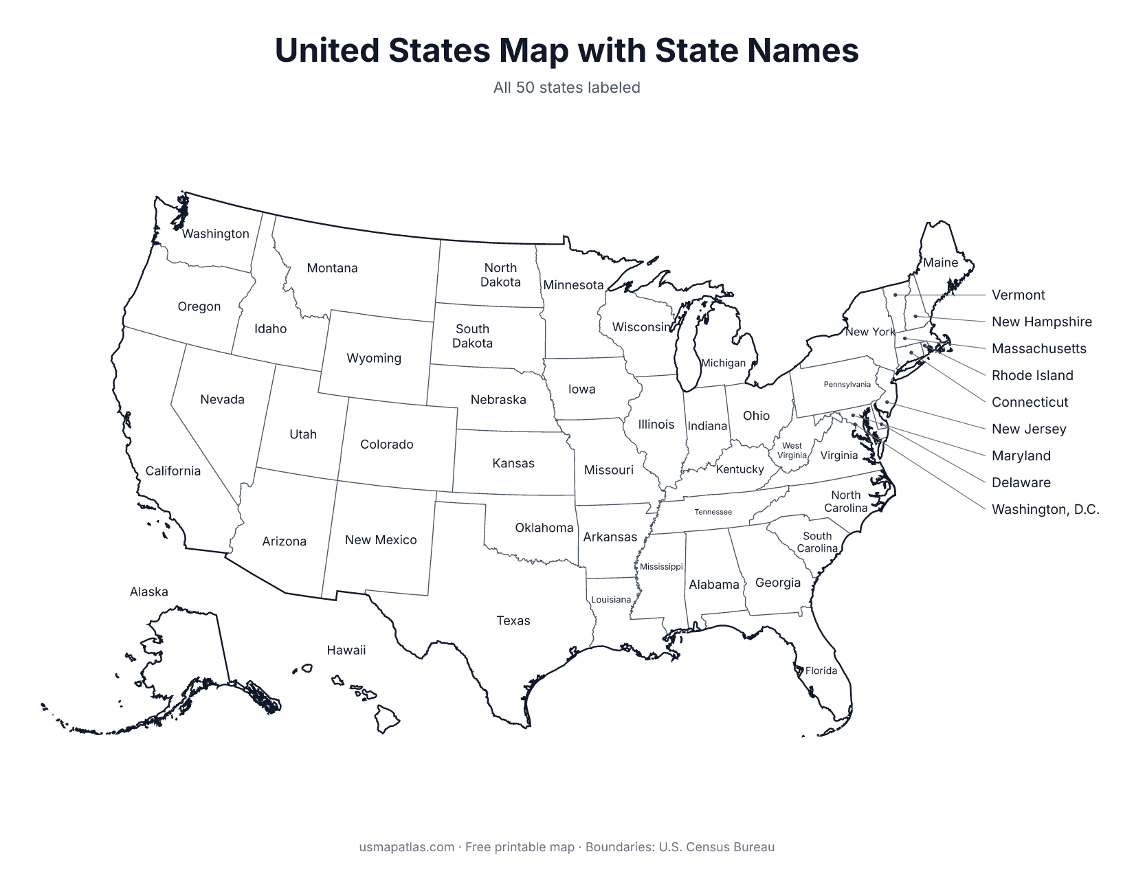
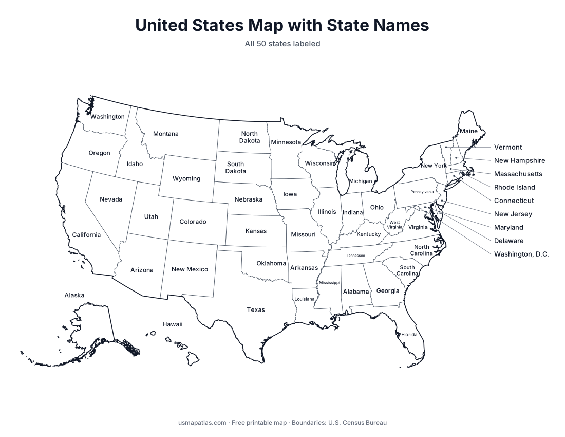
This labeled map of the United States shows the name of every state. Small states in the Northeast, along with Washington, D.C., are labeled on the right side of the map with leader lines so every name stays readable when printed.
Use it as a reference sheet, an answer key for a blank map quiz, or a study aid for learning where each state is.
List of the 50 states
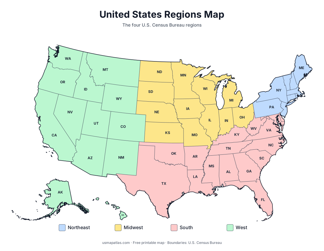
| State | Abbreviation | Region |
|---|---|---|
| Alabama | AL | South |
| Alaska | AK | West |
| Arizona | AZ | West |
| Arkansas | AR | South |
| California | CA | West |
| Colorado | CO | West |
| Connecticut | CT | Northeast |
| Delaware | DE | South |
| Florida | FL | South |
| Georgia | GA | South |
| Hawaii | HI | West |
| Idaho | ID | West |
| Illinois | IL | Midwest |
| Indiana | IN | Midwest |
| Iowa | IA | Midwest |
| Kansas | KS | Midwest |
| Kentucky | KY | South |
| Louisiana | LA | South |
| Maine | ME | Northeast |
| Maryland | MD | South |
| Massachusetts | MA | Northeast |
| Michigan | MI | Midwest |
| Minnesota | MN | Midwest |
| Mississippi | MS | South |
| Missouri | MO | Midwest |
| Montana | MT | West |
| Nebraska | NE | Midwest |
| Nevada | NV | West |
| New Hampshire | NH | Northeast |
| New Jersey | NJ | Northeast |
| New Mexico | NM | West |
| New York | NY | Northeast |
| North Carolina | NC | South |
| North Dakota | ND | Midwest |
| Ohio | OH | Midwest |
| Oklahoma | OK | South |
| Oregon | OR | West |
| Pennsylvania | PA | Northeast |
| Rhode Island | RI | Northeast |
| South Carolina | SC | South |
| South Dakota | SD | Midwest |
| Tennessee | TN | South |
| Texas | TX | South |
| Utah | UT | West |
| Vermont | VT | Northeast |
| Virginia | VA | South |
| Washington | WA | West |
| West Virginia | WV | South |
| Wisconsin | WI | Midwest |
| Wyoming | WY | West |